File:Conacul Voinea din Blejești.jpg
Jump to navigation
Jump to search
Size of this preview: 592 × 600 pixels. Other resolutions: 237 × 240 pixels | 474 × 480 pixels | 758 × 768 pixels | 1,010 × 1,024 pixels | 2,021 × 2,048 pixels | 2,671 × 2,707 pixels.
Original file (2,671 × 2,707 pixels, file size: 6.22 MB, MIME type: image/jpeg)
Captions
Captions
Add a one-line explanation of what this file represents
Summary
[edit]
| Description |
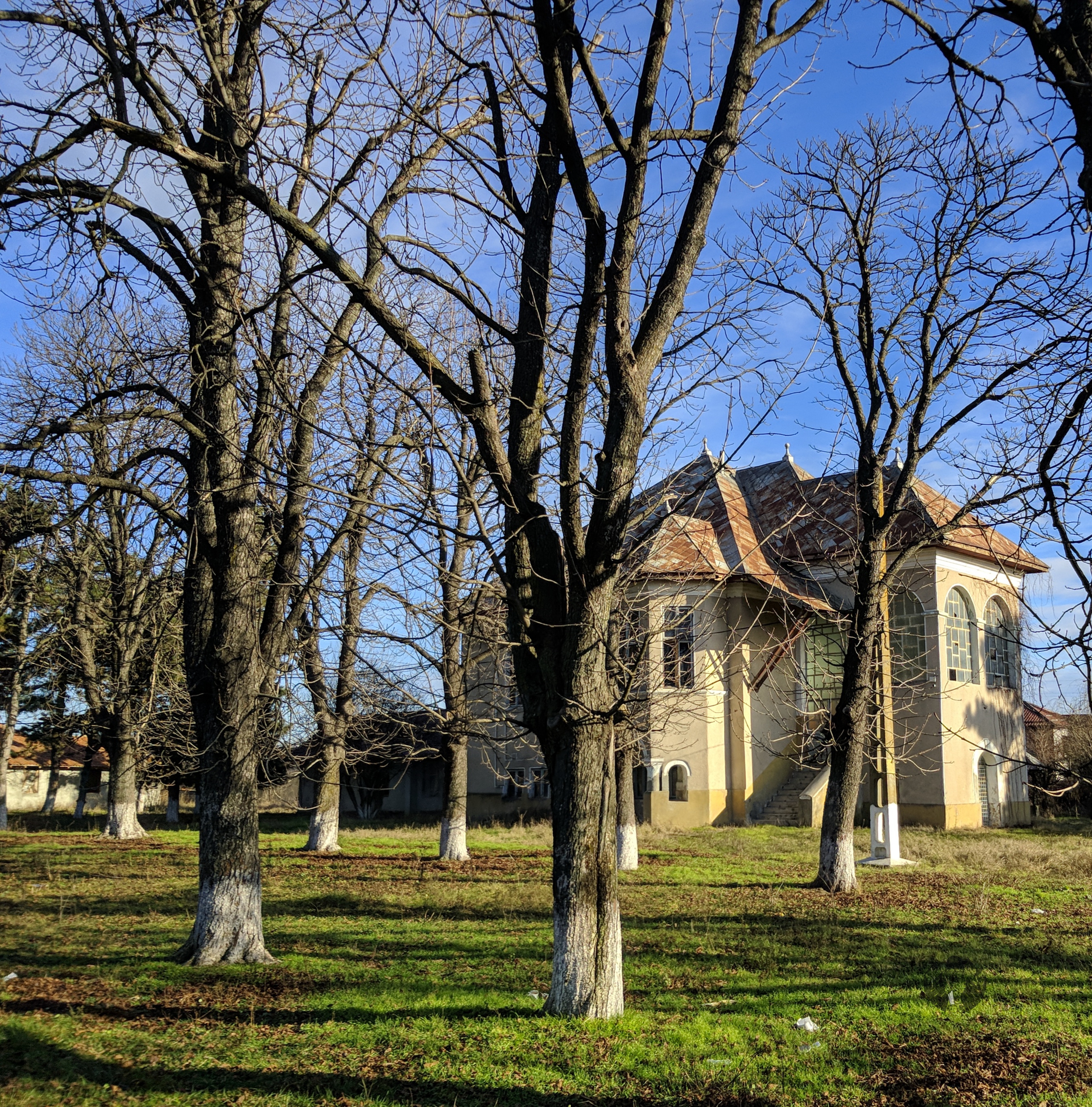
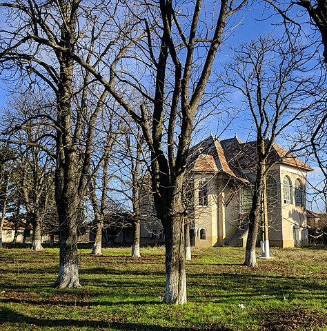
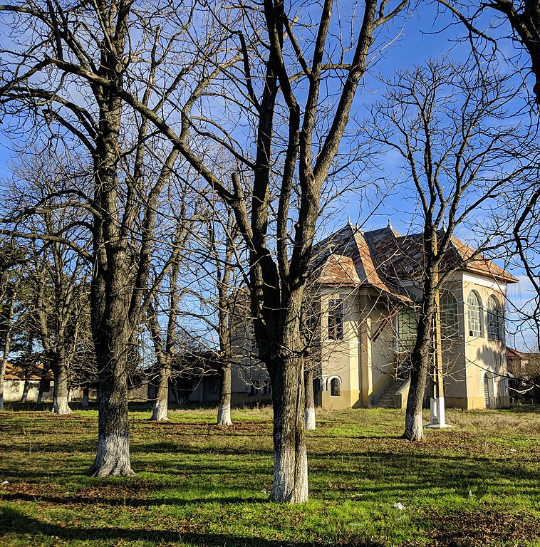
Română: Conacul Voinea, cu anexe
|
||
| Date | |||
| Source | Own work | ||
| Author | Taracubalauri |
| Camera location | | View this and other nearby images on: OpenStreetMap |
|---|
Mai multe detalii, aici - https://taracubalauri.com/2020/05/28/conacul-voinea-teleorman/
Licensing
[edit]
I, the copyright holder of this work, hereby publish it under the following license:
This file is licensed under the Creative Commons Attribution-Share Alike 4.0 International license.
- You are free:
- to share – to copy, distribute and transmit the work
- to remix – to adapt the work
- Under the following conditions:
- attribution – You must give appropriate credit, provide a link to the license, and indicate if changes were made. You may do so in any reasonable manner, but not in any way that suggests the licensor endorses you or your use.
- share alike – If you remix, transform, or build upon the material, you must distribute your contributions under the same or compatible license as the original.
File history
Click on a date/time to view the file as it appeared at that time.
| Date/Time | Thumbnail | Dimensions | User | Comment | |
|---|---|---|---|---|---|
| current | 20:36, 29 November 2020 | | 2,671 × 2,707 (6.22 MB) | Laurențiu-Florin Cuțaru (talk | contribs) | Uploaded own work with UploadWizard |
You cannot overwrite this file.
File usage on Commons
There are no pages that use this file.
File usage on other wikis
The following other wikis use this file:
- Usage on ro.wikipedia.org