File:Combrit TiKer.jpg
Jump to navigation
Jump to search

Size of this preview: 800 × 536 pixels. Other resolutions: 320 × 214 pixels | 640 × 428 pixels | 1,024 × 685 pixels | 1,280 × 857 pixels | 2,560 × 1,714 pixels | 3,872 × 2,592 pixels.
Original file (3,872 × 2,592 pixels, file size: 1.55 MB, MIME type: image/jpeg)
Captions
Captions
Add a one-line explanation of what this file represents
Summary
[edit]
| Description |
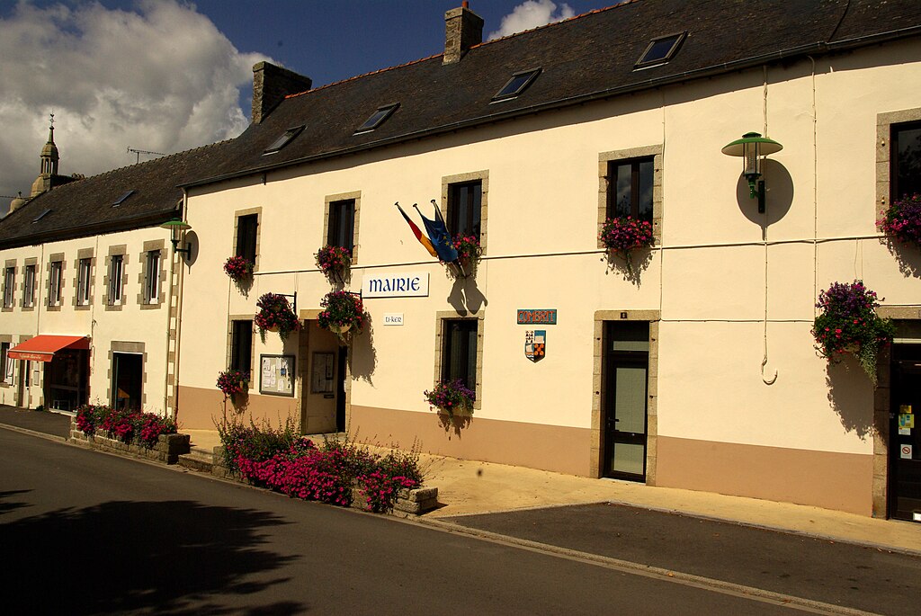
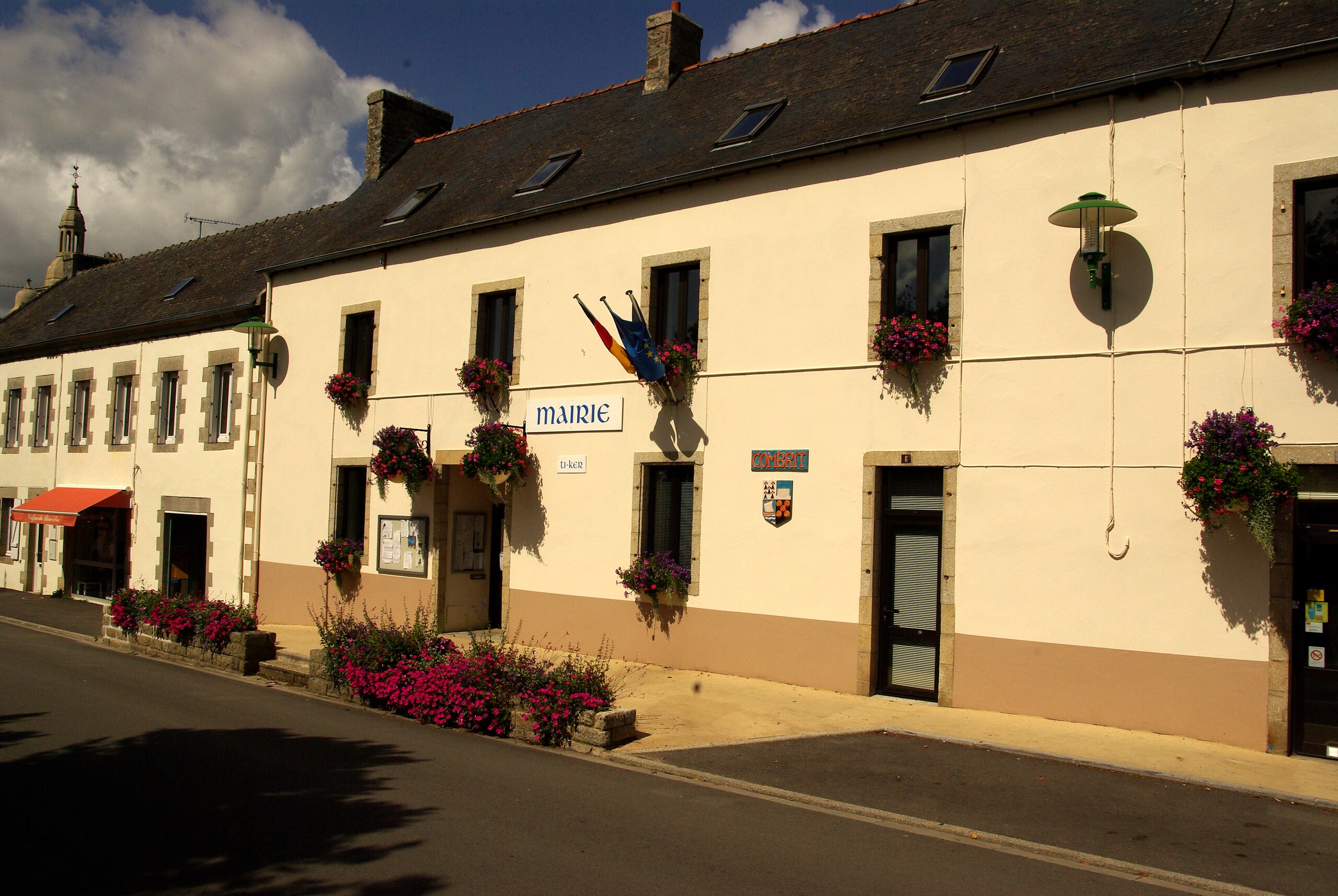
Nederlands: Gemeentehuis van Combrit
Français : Mairie de Combrit
Brezhoneg: Kombrid, Ti Ker |
| Date | |
| Source | Own work |
| Author | Eurasia21eu |
| Camera location | | View this and other nearby images on: OpenStreetMap |
|---|
Licensing
[edit]
| I, the copyright holder of this work, release this work into the public domain. This applies worldwide. In some countries this may not be legally possible; if so: I grant anyone the right to use this work for any purpose, without any conditions, unless such conditions are required by law. |
File history
Click on a date/time to view the file as it appeared at that time.
| Date/Time | Thumbnail | Dimensions | User | Comment | |
|---|---|---|---|---|---|
| current | 20:17, 22 February 2010 | | 3,872 × 2,592 (1.55 MB) | Eurasia29 (talk | contribs) | {{Information |Description={{nl|1=Gemeentehuis van Combrit}} {{fr|1=Mairie de Combrit}} {{br|1=Kombrit, Ti Ker}} |Source={{own}} |Author=Eurasia21eu |Date=2009/09/02 |Permission= |other_versions= }} {{Location|47|53|13|N|4|09|19|W}} [ |
You cannot overwrite this file.
File usage on Commons
The following page uses this file:
File usage on other wikis
The following other wikis use this file:
- Usage on nl.wikipedia.org