File:Colours Reflecting.jpg
Original file (669 × 1,000 pixels, file size: 255 KB, MIME type: image/jpeg)
Captions
Captions
Summary
[edit]
| Description |
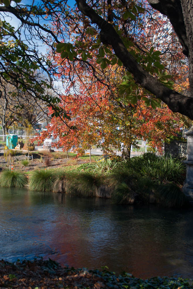
English: Working on the Te Papa Ōtākaro / Avon River Precinct on my walk around the city to see what is happening, May 24, 2014 Christchurch New Zealand.
The winding path of the Ōtākaro/Avon River will define Christchurch’s new river precinct. Watermark, the first section to be built, opened at the end of August 2013, and Canterbury Earthquake Recovery Minister Gerry Brownlee unveiled The Terraces section on 20 September 2013. Te Papa Ōtākaro will include Victoria Square (formerly Market Square) and be part of the central city’s spiritual and aesthetic identity. The visual contrast between the curving river and the linear grid of the streets is a key element of the city’s distinctive urban form. Ōtākaro holds great significance for Ngāi Tahu and Te Ngāi Tūāhuriri Rūnanga: the river was their commercial vein, transport route, source of mahinga kai, and the place by which they lived and traded. Te Papa Ōtākaro will continue to be a touchstone of central Christchurch’s spiritual and aesthetic identity. The visual contrast between the curving river and the linear grid of the streets is a key element of the city’s urban form. The park zoning will be about 30 metres wide on either side of the water, with many walks and cycle paths. Cafes and bars will re-emerge; new buildings, including hotels, will enjoy river views. As part of the Precinct’s construction, Victoria Square (formerly Market Square) will be revitalised as a place of welcome for all. For More Info: ccdu.govt.nz/projects-and-precincts/te-papa-otakaro-avon-... |
| Date | |
| Source | https://www.flickr.com/photos/joceykinghorn/14169153389/ |
| Author | Jocelyn Kinghorn |
| Camera location | | View this and other nearby images on: OpenStreetMap |
|---|
Licensing
[edit]
- You are free:
- to share – to copy, distribute and transmit the work
- to remix – to adapt the work
- Under the following conditions:
- attribution – You must give appropriate credit, provide a link to the license, and indicate if changes were made. You may do so in any reasonable manner, but not in any way that suggests the licensor endorses you or your use.
- share alike – If you remix, transform, or build upon the material, you must distribute your contributions under the same or compatible license as the original.
| This image was originally posted to Flickr by Jocey K at https://flickr.com/photos/48627921@N05/14169153389. It was reviewed on 12 July 2020 by FlickreviewR 2 and was confirmed to be licensed under the terms of the cc-by-sa-2.0. |
File history
Click on a date/time to view the file as it appeared at that time.
| Date/Time | Thumbnail | Dimensions | User | Comment | |
|---|---|---|---|---|---|
| current | 19:54, 12 July 2020 | | 669 × 1,000 (255 KB) | Schwede66 (talk | contribs) | Uploaded a work by Jocelyn Kinghorn from https://www.flickr.com/photos/joceykinghorn/14169153389/ with UploadWizard |
You cannot overwrite this file.
File usage on Commons
There are no pages that use this file.