File:Colombia Córdoba location map.svg
Jump to navigation
Jump to search

Size of this PNG preview of this SVG file: 514 × 600 pixels. Other resolutions: 206 × 240 pixels | 411 × 480 pixels | 658 × 768 pixels | 877 × 1,024 pixels | 1,755 × 2,048 pixels | 1,143 × 1,334 pixels.
Original file (SVG file, nominally 1,143 × 1,334 pixels, file size: 265 KB)
Captions
Captions
Add a one-line explanation of what this file represents
Summary
[edit]
| Description |
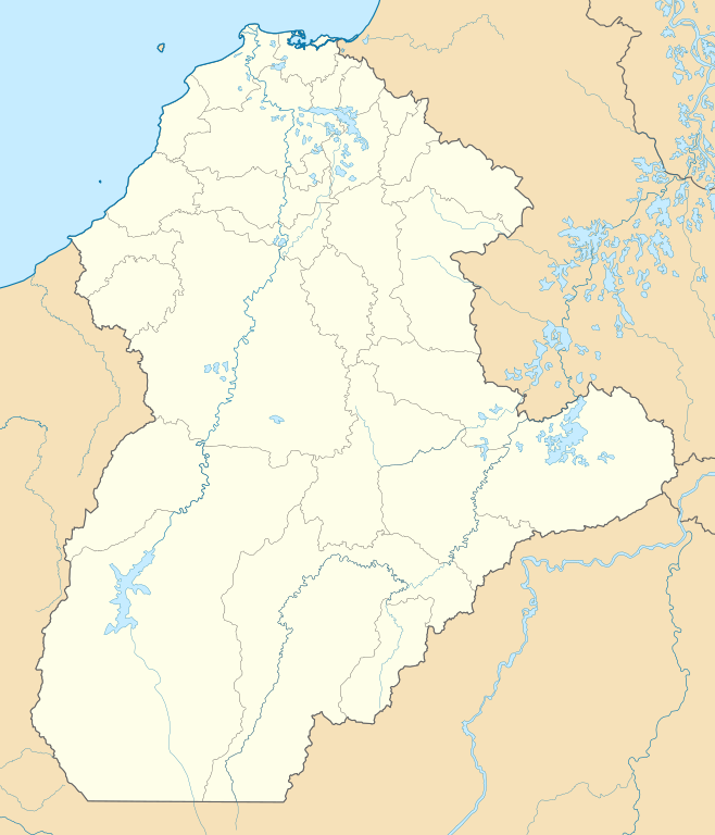
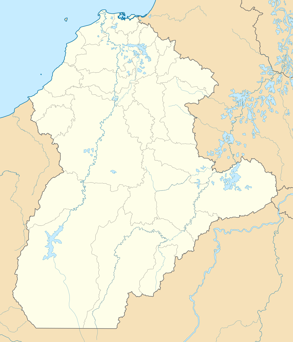
English: Location map of Córdoba
Equirectangular projection. Geographic limits of the map:
Español: Mapa localizador de Córdoba |
| Date | |
| Source | Own work |
| Author | Milenioscuro |
Licensing
[edit]
I, the copyright holder of this work, hereby publish it under the following license:
This file is licensed under the Creative Commons Attribution-Share Alike 3.0 Unported license.
- You are free:
- to share – to copy, distribute and transmit the work
- to remix – to adapt the work
- Under the following conditions:
- attribution – You must give appropriate credit, provide a link to the license, and indicate if changes were made. You may do so in any reasonable manner, but not in any way that suggests the licensor endorses you or your use.
- share alike – If you remix, transform, or build upon the material, you must distribute your contributions under the same or compatible license as the original.
File history
Click on a date/time to view the file as it appeared at that time.
| Date/Time | Thumbnail | Dimensions | User | Comment | |
|---|---|---|---|---|---|
| current | 00:03, 8 July 2015 | | 1,143 × 1,334 (265 KB) | Milenioscuro (talk | contribs) | corrijo fronteras, curso de ríos, etc |
| 01:44, 7 July 2012 |  | 1,110 × 1,306 (317 KB) | Milenioscuro (talk | contribs) | limites con antioquia | |
| 00:27, 27 December 2011 |  | 1,110 × 1,306 (283 KB) | Milenioscuro (talk | contribs) | layers, borders, and other changes | |
| 19:03, 12 August 2011 |  | 1,110 × 1,306 (257 KB) | Milenioscuro (talk | contribs) | arreglos | |
| 05:02, 22 July 2011 |  | 1,110 × 1,306 (257 KB) | Milenioscuro (talk | contribs) | standardization | |
| 05:44, 2 July 2011 |  | 1,110 × 1,306 (276 KB) | Milenioscuro (talk | contribs) | {{Information |Description ={{en|1=Location map of Córdoba}} {{es|1=Mapa localizador de Córdoba}} |Source ={{own}} |Author =Shadowxfox |Date =2011-07-02 |Permission = |othe |
You cannot overwrite this file.
File usage on Commons
The following 4 pages use this file:
File usage on other wikis
The following other wikis use this file:
- Usage on az.wikipedia.org
- Usage on ba.wikipedia.org
- Usage on bg.wikipedia.org
- Usage on ca.wikipedia.org
- Usage on de.wikipedia.org
- Usage on en.wikipedia.org
- Usage on es.wikipedia.org
- Usage on fa.wikipedia.org
- Usage on fr.wikipedia.org
- Usage on gl.wikipedia.org
- Usage on he.wikipedia.org
- Usage on hu.wikipedia.org
- Usage on ka.wikipedia.org
- Usage on kbd.wikipedia.org
- Usage on os.wikipedia.org
- Usage on pl.wikipedia.org
- Usage on pl.wikibooks.org
- Usage on ru.wikipedia.org
- Usage on si.wikipedia.org
- Usage on uk.wikipedia.org
- Usage on uz.wikipedia.org
- Usage on www.wikidata.org