File:Col de Branveau - panoramio (10).jpg
Jump to navigation
Jump to search

Size of this preview: 800 × 151 pixels. Other resolutions: 320 × 60 pixels | 640 × 121 pixels | 1,024 × 193 pixels | 1,280 × 241 pixels | 2,560 × 483 pixels | 15,186 × 2,863 pixels.
Original file (15,186 × 2,863 pixels, file size: 19.45 MB, MIME type: image/jpeg)
Captions
Captions
Add a one-line explanation of what this file represents
Summary
[edit].jpg&action=edit§ion=1)
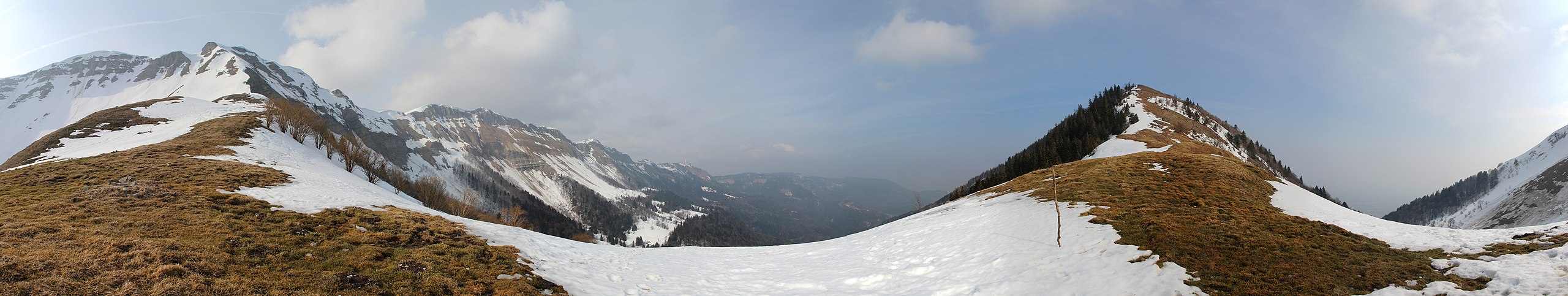
| Description | Col de Branveau | ||
| Date | 5 March 2012 (original upload date) | ||
| Source | https://web.archive.org/web/20161019190249/http://www.panoramio.com/photo/67990888 | ||
| Author | Björn S. | ||
| Permission (Reusing this file) |
This file is licensed under the Creative Commons Attribution-Share Alike 3.0 Unported license. Attribution: Björn S.
|
||
| Tags (from Panoramio photo page) | Gex, Col de Branveau |
| Camera location | | View this and other nearby images on: OpenStreetMap |
|---|
.jpg¶ms=046.325724_N_0006.007731_E_globe:Earth_type:camera_source:Panoramio_&language=en)
File history
Click on a date/time to view the file as it appeared at that time.
| Date/Time | Thumbnail | Dimensions | User | Comment | |
|---|---|---|---|---|---|
| current | 04:31, 29 December 2016 | 15,186 × 2,863 (19.45 MB) | Panoramio upload bot (talk | contribs) | == {{int:filedesc}} == {{Information |description=Col de Branveau |date={{Original upload date|2012-03-05}} |source=http://www.panoramio.com/photo/67990888 |author=[http://www.panoramio.com/user/6004592?with_photo_id=67990888 Björn S.] |permission={{c... |
You cannot overwrite this file.
File usage on Commons
There are no pages that use this file.
.jpg&oldid=863197775)