File:Cliffs above Loch Warren - geograph.org.uk - 1256486.jpg
Jump to navigation
Jump to search
No higher resolution available.
Cliffs_above_Loch_Warren_-_geograph.org.uk_-_1256486.jpg (640 × 480 pixels, file size: 127 KB, MIME type: image/jpeg)
Captions
Captions
Add a one-line explanation of what this file represents
Summary
[edit]| Description |
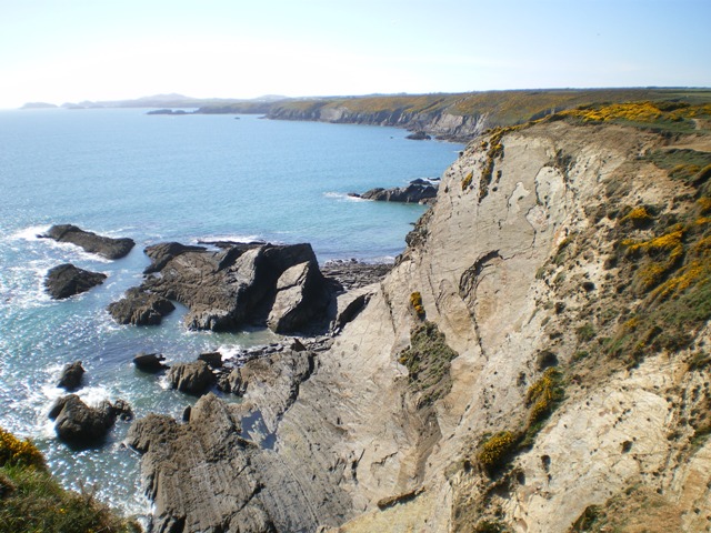
English: Cliffs above Loch Warren Loch Warren is the name shown on the 1:25,000 map for the bay immediately below this area; it seems most incongruous this far south of Scotland. There are a number of other examples in the area though, so maybe 'Loch' has a Welsh meaning too? (For instance, Lochvane Farm lies a couple of miles to the east of here.) |
| Date | |
| Source | From geograph.org.uk |
| Author | Richard Law |
| Attribution (required by the license) | Richard Law / Cliffs above Loch Warren / |
| Camera location | | View this and other nearby images on: OpenStreetMap |
|---|
| Object location | | View this and other nearby images on: OpenStreetMap |
|---|
Licensing
[edit]
|
This image was taken from the Geograph project collection. See this photograph's page on the Geograph website for the photographer's contact details. The copyright on this image is owned by Richard Law and is licensed for reuse under the Creative Commons Attribution-ShareAlike 2.0 license.
|
This file is licensed under the Creative Commons Attribution-Share Alike 2.0 Generic license.
Attribution: Richard Law
- You are free:
- to share – to copy, distribute and transmit the work
- to remix – to adapt the work
- Under the following conditions:
- attribution – You must give appropriate credit, provide a link to the license, and indicate if changes were made. You may do so in any reasonable manner, but not in any way that suggests the licensor endorses you or your use.
- share alike – If you remix, transform, or build upon the material, you must distribute your contributions under the same or compatible license as the original.

_heading:270.00&language=en)
_heading:270.00&language=en)
File history
Click on a date/time to view the file as it appeared at that time.
| Date/Time | Thumbnail | Dimensions | User | Comment | |
|---|---|---|---|---|---|
| current | 19:35, 26 February 2011 | | 640 × 480 (127 KB) | GeographBot (talk | contribs) | == {{int:filedesc}} == {{Information |description={{en|1=Cliffs above Loch Warren Loch Warren is the name shown on the 1:25,000 map for the bay immediately below this area; it seems most incongruous this far south of Scotland. There are a number of other |
You cannot overwrite this file.
File usage on Commons
There are no pages that use this file.