File:Ciudades del antiguo Oriente Medio.svg
Jump to navigation
Jump to search

Size of this PNG preview of this SVG file: 800 × 443 pixels. Other resolutions: 320 × 177 pixels | 640 × 355 pixels | 1,024 × 567 pixels | 1,280 × 709 pixels | 2,560 × 1,419 pixels | 1,247 × 691 pixels.
Original file (SVG file, nominally 1,247 × 691 pixels, file size: 353 KB)
Captions
Captions
Add a one-line explanation of what this file represents
Summary
[edit]
This W3C-unspecified vector image was created with Inkscape .
| Description |
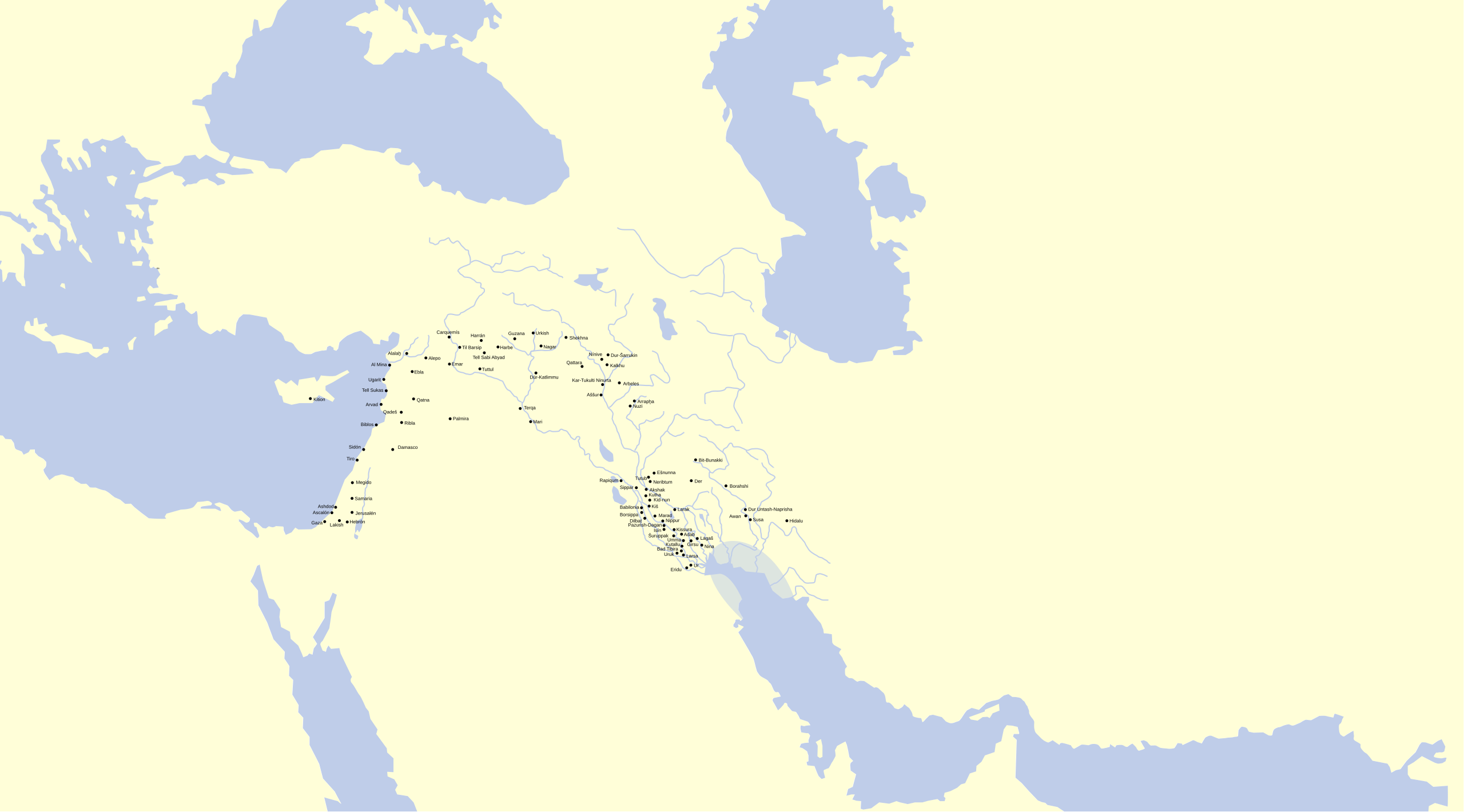
Español: Mapa del Oriente Medio con ciudades de diferentes períodos históricos de la antigüedad. |
| Date | |
| Source |
Español: Realizado sobre este mapa vacío, la situación de las ciudades proviene de estos mapas: 1, 2, 3, 4, 5 y otros del usuario Zunkir. |
| Author | Crates |
| Permission (Reusing this file) |
CC-BY |
Licensing
[edit]
I, the copyright holder of this work, hereby publish it under the following license:
This file is licensed under the Creative Commons Attribution 3.0 Unported license.
- You are free:
- to share – to copy, distribute and transmit the work
- to remix – to adapt the work
- Under the following conditions:
- attribution – You must give appropriate credit, provide a link to the license, and indicate if changes were made. You may do so in any reasonable manner, but not in any way that suggests the licensor endorses you or your use.
File history
Click on a date/time to view the file as it appeared at that time.
| Date/Time | Thumbnail | Dimensions | User | Comment | |
|---|---|---|---|---|---|
| current | 15:38, 18 June 2015 | | 1,247 × 691 (353 KB) | Jakeukalane (talk | contribs) | Correcciones de los nombres de ciudades kh→ḫ sh→š Qattaral Zamahe→Qattara/Zamahe→Qattara +Emar Haleb→Alepo Tutul→Tuttul Dur-katlimmu→ Dūr-Katlimmu +Nuzi Trqa→Terqa etc |
| 18:25, 13 February 2008 |  | 1,247 × 691 (346 KB) | Phirosiberia (talk | contribs) | {{Information |Description={{es|Mapa del Oriente Medio con ciudades de diferentes períodos históricos de la antigüedad.}} |Source={{es|Realizado sobre este mapa vacío, la situación de las ciudades proviene de estos mapas: |
You cannot overwrite this file.
File usage on Commons
There are no pages that use this file.