File:Ciepielów (gmina) location map.png
Jump to navigation
Jump to search

Size of this preview: 800 × 504 pixels. Other resolutions: 320 × 202 pixels | 640 × 403 pixels | 1,124 × 708 pixels.
Original file (1,124 × 708 pixels, file size: 199 KB, MIME type: image/png)
Captions
Captions
Add a one-line explanation of what this file represents
| Description |
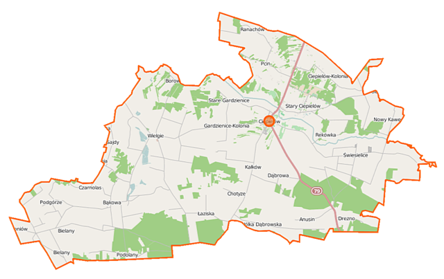
Polski: Mapa gminy Ciepielów, Polska
English: Map of Gmina Ciepielów, Poland |
|||||||||
| Date | ||||||||||
| Source | You may find a page on the OpenStreetMap wiki page for Ciepielów (gmina) | |||||||||
| Creator |
OpenStreetMap contributors OpenStreetMap contributors |
|||||||||
| Permission (Reusing this file) |
OpenStreetMap data is available under the Open Database License (details). Map tiles are licensed under the Creative Commons Attribution-ShareAlike 2.0 license (CC-BY-SA 2.0).
This file is licensed under the Creative Commons Attribution-Share Alike 2.0 Generic license.
|
|||||||||
| Geotemporal data | ||||||||||
| Bounding box |
|
|||||||||
| Georeferencing | If inappropriate please set warp_status = skip to hide. | |||||||||
File history
Click on a date/time to view the file as it appeared at that time.
| Date/Time | Thumbnail | Dimensions | User | Comment | |
|---|---|---|---|---|---|
| current | 10:34, 12 September 2014 | | 1,124 × 708 (199 KB) | VanWiel (talk | contribs) | |
| 06:14, 31 July 2014 |  | 1,124 × 708 (197 KB) | VanWiel (talk | contribs) | {{OpenStreetMap | name = Ciepielów (gmina) | location = Ciepielów (gmina) | description = {{pl|Mapa gminy Ciepielów, Polska}} {{en|Map of Gmina Ciepielów, Poland}} | top = 51.3006 | left = 21.... |
You cannot overwrite this file.
File usage on Commons
There are no pages that use this file.
File usage on other wikis
The following other wikis use this file:
- Usage on be.wikipedia.org
- Usage on fr.wikipedia.org
- Usage on pl.wikipedia.org
- Ciepielów (gmina)
- Bąkowa
- Chotyze
- Ciepielów-Kolonia
- Czerwona (województwo mazowieckie)
- Drezno (województwo mazowieckie)
- Gardzienice-Kolonia
- Kunegundów
- Pcin
- Ranachów B
- Rekówka
- Stary Ciepielów
- Stare Gardzienice
- Świesielice
- Wólka Dąbrowska
- Anusin (województwo mazowieckie)
- Ciepielów
- Kałków (województwo mazowieckie)
- Nowy Kawęczyn (Kawęczyn w województwie mazowieckim)
- Podolany (województwo mazowieckie)
- Wielgie (województwo mazowieckie)
- Antoniów (powiat lipski)
- Bielany (powiat lipski)
- Borowiec (gmina Ciepielów)
- Dąbrowa (powiat lipski)
- Kochanów (powiat lipski)
- Łaziska (powiat lipski)
- Marianki (powiat lipski)
- Pasieki (powiat lipski)
- Podgórze (powiat lipski)
- Synagoga w Ciepielowie
- Sajdy
- Czarnolas (powiat lipski)
- Cmentarz żydowski w Ciepielowie
- Parafia Podwyższenia Krzyża Świętego w Ciepielowie
- Wikipedysta:Rrudzik/brudnopis
- Pcin (kolonia)
- Struga (Drezno)
- Parafia św. Jana Chrzciciela w Czerwonej
- Parafia Bożego Ciała w Wielgiem
- Górki (Stary Ciepielów)
- Stary Kawęczyn
- Dąbrówki (Bąkowa)
- Na Hektarach (Bąkowa)
- Pod Wielgiem
- Rynsztoki (Bąkowa)
- Stara Wieś (Bąkowa)
- Kościół Podwyższenia Krzyża Świętego w Ciepielowie
View more global usage of this file.
_location_map.png)
_location_map.png&oldid=860843329)