File:Church destroyed by fire - geograph.org.uk - 1286409.jpg
Jump to navigation
Jump to search
No higher resolution available.
Church_destroyed_by_fire_-_geograph.org.uk_-_1286409.jpg (640 × 427 pixels, file size: 87 KB, MIME type: image/jpeg)
Captions
Captions
Add a one-line explanation of what this file represents
Summary
[edit]
| Description |
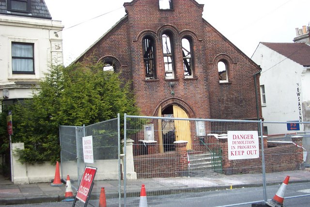
English: Church destroyed by fire The former Islingword Road Mission (later renamed Immanuel Family Church) destroyed by fire in May 2003 |
| Date | |
| Source | From geograph.org.uk |
| Author | Paul Gillett |
| Attribution (required by the license) | Paul Gillett / Church destroyed by fire / |
| Camera location | | View this and other nearby images on: OpenStreetMap |
|---|
_heading:180.00&language=en)
| Object location | | View this and other nearby images on: OpenStreetMap |
|---|
_heading:180.00&language=en)
Licensing
[edit]

|
This image was taken from the Geograph project collection. See this photograph's page on the Geograph website for the photographer's contact details. The copyright on this image is owned by Paul Gillett and is licensed for reuse under the Creative Commons Attribution-ShareAlike 2.0 license.
|
This file is licensed under the Creative Commons Attribution-Share Alike 2.0 Generic license.
Attribution: Paul Gillett
- You are free:
- to share – to copy, distribute and transmit the work
- to remix – to adapt the work
- Under the following conditions:
- attribution – You must give appropriate credit, provide a link to the license, and indicate if changes were made. You may do so in any reasonable manner, but not in any way that suggests the licensor endorses you or your use.
- share alike – If you remix, transform, or build upon the material, you must distribute your contributions under the same or compatible license as the original.
File history
Click on a date/time to view the file as it appeared at that time.
| Date/Time | Thumbnail | Dimensions | User | Comment | |
|---|---|---|---|---|---|
| current | 05:45, 27 February 2011 | | 640 × 427 (87 KB) | GeographBot (talk | contribs) | == {{int:filedesc}} == {{Information |description={{en|1=Church destroyed by fire The former Islingword Road Mission (later renamed Immanuel Family Church) destroyed by fire in May 2003}} |date=2003-05-09 |source=From [http://www.geograph.org.uk/photo/128 |
You cannot overwrite this file.
File usage on Commons
There are no pages that use this file.
File usage on other wikis
The following other wikis use this file:
- Usage on en.wikipedia.org
Metadata
Categories:
- Ruins of churches in East Sussex
- Sites of demolished places of worship in Brighton and Hove
- Evangelical and Free churches in East Sussex
- Immanuel churches in England
- Churches destroyed by fire in the United Kingdom
- Destroyed in England in 2003
- Churches in England built in 1881
- Brick buildings in East Sussex