File:Christoph 53 D-HXFA MA-Almenhof from below.jpg
Jump to navigation
Jump to search
Size of this preview: 800 × 533 pixels. Other resolutions: 320 × 213 pixels | 640 × 427 pixels | 1,024 × 683 pixels | 1,280 × 853 pixels | 2,560 × 1,707 pixels | 4,500 × 3,000 pixels.
Original file (4,500 × 3,000 pixels, file size: 1.95 MB, MIME type: image/jpeg)
Captions
Captions
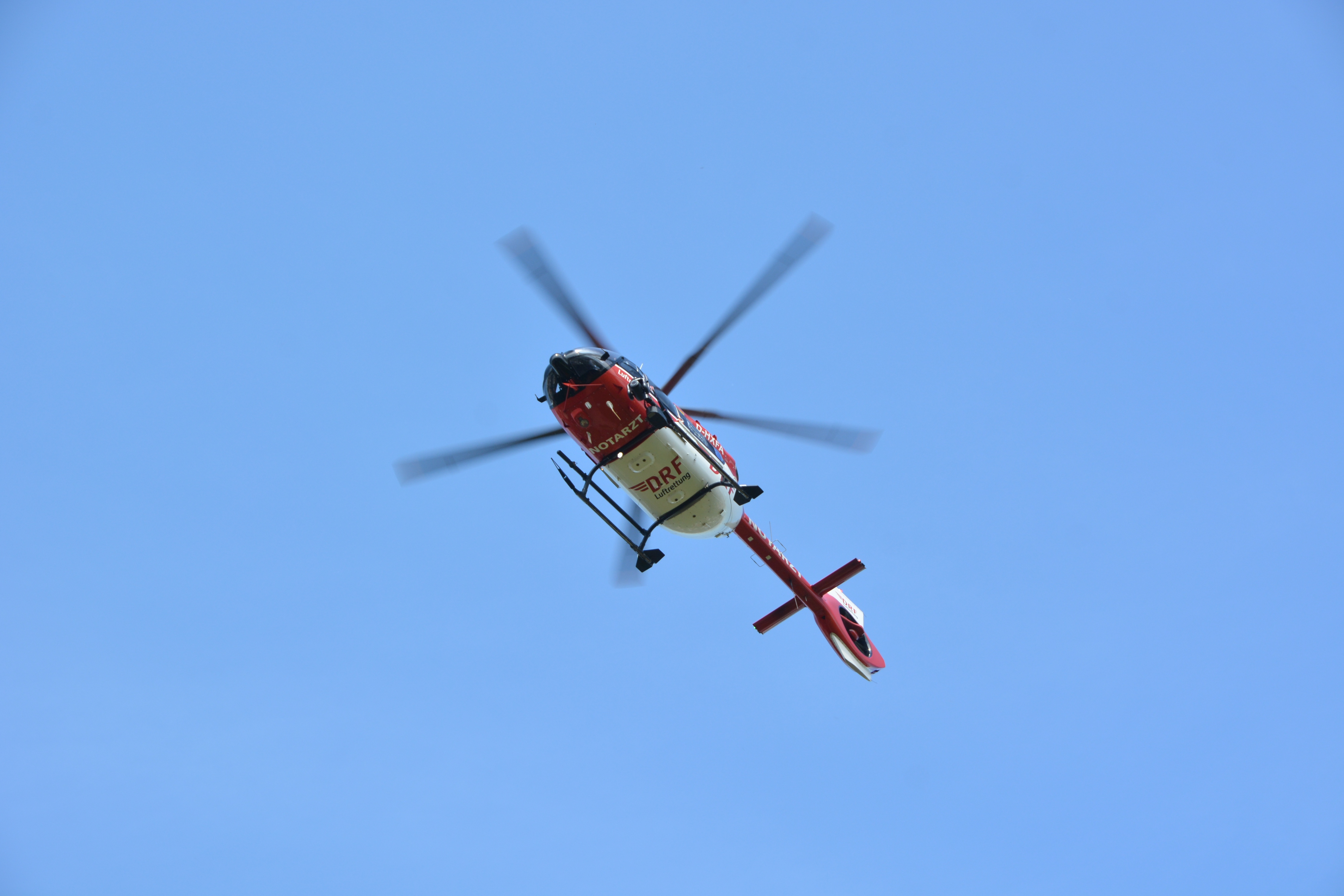
German air ambulance helicopter D-HXFA "Christoph 53", Mannheim-Almenhof (Germany), view from below
Summary
[edit]
| Description |
Deutsch: Rettungshubschrauber D-HXFA (Eurocopter EC 145) als "Christoph 53", Mannheim-Almenhof, 48er Platz, Blick von unten
English: German air ambulance helicopter D-HXFA "Christoph 53" (Eurocopter EC 145), Mannheim-Almenhof (Germany), 48er Platz, view from below |
| Date | |
| Source | Own work |
| Author | Hubert Berberich (HubiB) |
| Permission (Reusing this file) |
Foto: Hubert Berberich Wikimedia Commons (CC-BY-4.0) Deutsch: Das Bild ist bewusst so fotografiert. Falls Du es hier in Commons ändern willst, ändere bitte nicht dieses Bild, sondern lege eine Kopie an, die sich auf dieses Bild bezieht!
English: This picture is deliberately made the way it is. If you want to change it here in Commons, please do not change this picture, but make a copy referring to this picture! |
| Camera location | | View this and other nearby images on: OpenStreetMap |
|---|
Licensing
[edit]
This file is licensed under the Creative Commons Attribution 4.0 International license.
- You are free:
- to share – to copy, distribute and transmit the work
- to remix – to adapt the work
- Under the following conditions:
- attribution – You must give appropriate credit, provide a link to the license, and indicate if changes were made. You may do so in any reasonable manner, but not in any way that suggests the licensor endorses you or your use.
File history
Click on a date/time to view the file as it appeared at that time.
| Date/Time | Thumbnail | Dimensions | User | Comment | |
|---|---|---|---|---|---|
| current | 09:43, 9 July 2024 | | 4,500 × 3,000 (1.95 MB) | HubiB (talk | contribs) | == {{int:filedesc}} == {{Information |Description = {{de|Rettungshubschrauber D-HXFA (Eurocopter EC 145) als "Christoph 53", Mannheim-Almenhof, 48er Platz, Blick von unten}} {{en|German air ambulance helicopter D-HXFA "Christoph 53" (Eurocopter EC 145), Mannheim-Almenhof (Germany), 48er Platz, view from below}} |Source = {{Own}} |Date = 2024-07-07 |Author = Hubert Berberich (HubiB) |Permission = Foto: Hubert Berberich Wikimedia Commons (CC-BY-4.0) {{de|Das Bild ist bewusst so f... |
You cannot overwrite this file.
File usage on Commons
The following 2 pages use this file: