File:Chotěboř, náměstí T. G. Masaryka, severní strana.jpg
Jump to navigation
Jump to search
Size of this preview: 800 × 582 pixels. Other resolutions: 320 × 233 pixels | 640 × 466 pixels | 1,024 × 746 pixels | 1,280 × 932 pixels | 2,534 × 1,845 pixels.
Original file (2,534 × 1,845 pixels, file size: 781 KB, MIME type: image/jpeg)
Captions
Captions
Add a one-line explanation of what this file represents
Summary
[edit]
| Description |
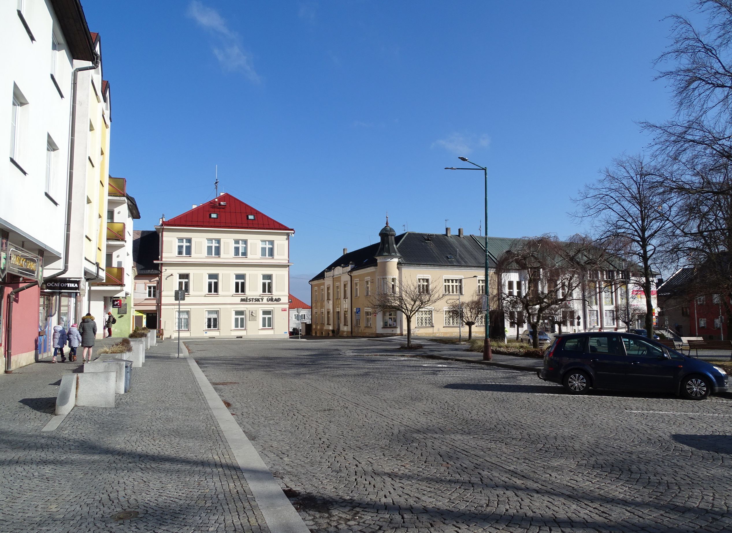
English: Chotěboř, Havlíčkův Brod District, Vysočina Region, Czechia. Náměstí T. G. Masaryka, the north side.
|
||||
| Date | Taken on 27 February 2022 | ||||
| Source | Self-photographed | ||||
| Author | ŠJů | ||||
| Permission (Reusing this file) |
I, the copyright holder of this work, hereby publish it under the following license: This file is licensed under the Creative Commons Attribution 4.0 International license. Attribution: ŠJů, Wikimedia Commons
|
File history
Click on a date/time to view the file as it appeared at that time.
| Date/Time | Thumbnail | Dimensions | User | Comment | |
|---|---|---|---|---|---|
| current | 03:46, 31 July 2024 | | 2,534 × 1,845 (781 KB) | ŠJů (talk | contribs) | {{Information |Description= {{cs|1=cs:Golčův Jeníkov, okres Havlíčkův Brod. Náměstí T. G. Masaryka, severní strana.}} {{en|1=en:Golčův Jeníkov, Havlíčkův Brod District, Vysočina Region, Czechia. Náměstí T. G. Masaryka, the north side.}} {{location|49.7202378|15.6698972|region:CZ_heading:035}} |Date= {{Taken on|2022-02-27}} |Source={{self-photographed}} |Author= ŠJů |... |
You cannot overwrite this file.
File usage on Commons
There are no pages that use this file.