File:China Liaoning relief location map.png
Jump to navigation
Jump to search
Size of this preview: 578 × 600 pixels. Other resolutions: 231 × 240 pixels | 463 × 480 pixels | 740 × 768 pixels | 987 × 1,024 pixels | 2,218 × 2,301 pixels.
Original file (2,218 × 2,301 pixels, file size: 8.14 MB, MIME type: image/png)
Captions
Captions
Ibùgbé máàpù tí ayàsótò fún Liaoning°I°
| Description |
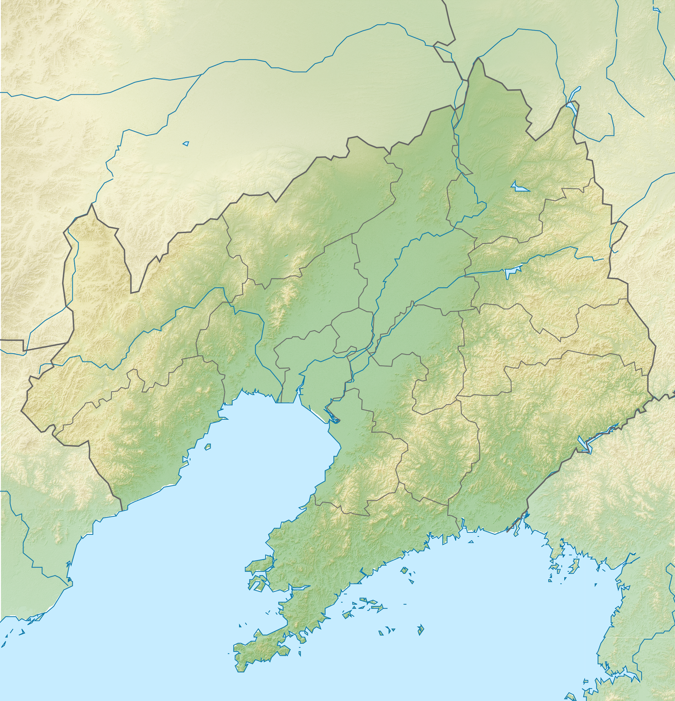
English: Location map of Liaoning, People's Republic of China Equirectangular projection, N/S stretching 141 %. True scale parallel: 45°00' N.
Geographic limits of the map:
|
| Date | (UTC) |
| Source | |
| Author |
|
| This is a retouched picture, which means that it has been digitally altered from its original version. The original can be viewed here: China Liaoning location map.svg:
|
I, the copyright holder of this work, hereby publish it under the following licenses:
This file is licensed under the Creative Commons Attribution-Share Alike 3.0 Unported license.
- You are free:
- to share – to copy, distribute and transmit the work
- to remix – to adapt the work
- Under the following conditions:
- attribution – You must give appropriate credit, provide a link to the license, and indicate if changes were made. You may do so in any reasonable manner, but not in any way that suggests the licensor endorses you or your use.
- share alike – If you remix, transform, or build upon the material, you must distribute your contributions under the same or compatible license as the original.

|
Permission is granted to copy, distribute and/or modify this document under the terms of the GNU Free Documentation License, Version 1.2 or any later version published by the Free Software Foundation; with no Invariant Sections, no Front-Cover Texts, and no Back-Cover Texts. A copy of the license is included in the section entitled GNU Free Documentation License. |
You may select the license of your choice.
Original upload log
[edit]
This image is a derivative work of the following images:
- File:China_Liaoning_location_map.svg licensed with Cc-by-sa-3.0, GFDL
- 2011-02-23T19:39:26Z Das steinerne Herz 140x145 (449373 Bytes) correction water layer
- 2011-02-23T19:33:26Z Das steinerne Herz 140x145 (448143 Bytes) completly new version
- 2011-02-12T16:41:36Z Das steinerne Herz 192x168 (2133267 Bytes) {{Information |Description ={{en|1=Location map of [[:en:Liaoning|Liaoning]], [[:en:People's Republic of China|People's Republic of China]] Equirectangular projection, N/S stretching 141 %. Geographic limits of the map: *
Uploaded with derivativeFX
File history
Click on a date/time to view the file as it appeared at that time.
| Date/Time | Thumbnail | Dimensions | User | Comment | |
|---|---|---|---|---|---|
| current | 11:42, 24 February 2011 | | 2,218 × 2,301 (8.14 MB) | Das steinerne Herz (talk | contribs) | {{Information |Description={{en|1=Location map of Liaoning, People's Republic of China Equirectangular projection, N/S stretching 141 %. True scale parallel: 45°00' N. Geographic limits of the map: * |
You cannot overwrite this file.
File usage on Commons
There are no pages that use this file.
File usage on other wikis
The following other wikis use this file:
- Usage on ba.wikipedia.org
- Usage on de.wikipedia.org
- Usage on en.wikipedia.org
- Benxi
- Yixian Formation
- Qianshan National Park
- Liaoning Gymnasium
- Jiufotang Formation
- Tuchengzi Formation
- Sunjiawan Formation
- Tiaojishan Formation
- Module:Location map/data/China Liaoning/doc
- Anping Creek
- Lotus Lake Wetland Park
- Qinghe Reservoir
- Module:Location map/data/China Liaoning
- Module:Location map/data/Liaoning
- Chai River Reservoir
- User:Ty654/List of earthquakes from 1950-1999 exceeding magnitude 7+
- User:Ty654/List of earthquakes from 1940-1949 exceeding magnitude 6+
- Guanyinge Reservoir
- Module:Location map/data/China Liaoning topography
- Module:Location map/data/China Liaoning topography/doc
- Usage on es.wikipedia.org
- Usage on fr.wikipedia.org
- Golfe de Corée
- Mont Qian
- Siège de Port-Arthur
- Centrale nucléaire de Hongyanhe
- Bataille de Mukden
- Modèle:Géolocalisation/Liaoning
- Bataille du Cha-Ho
- Mont Wunu
- Baie de Liaodong
- Massacre de Port-Arthur
- Formation de Tiaojishan
- Homme de Jinniushan
- Centrale d'Yingkou
- Centrale de Suizhong
- Bataille de Nanshan
- Bataille de Te-li-Ssu
- Bataille du col de Motien
- Bataille de Tashihchiao
- Bataille de Hsimucheng
- Bataille de Liaoyang
View more global usage of this file.