File:China Gansu rel location map.svg

Original file (SVG file, nominally 998 × 789 pixels, file size: 724 KB)
Captions
Captions
Summary
[edit]| Description |
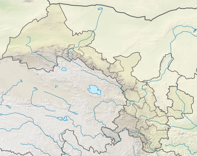
Deutsch: Positionskarte von Gansu, Volksrepublik China
English: Location map of Gansu, People's Republic of China
|
||||||||||||
| Date | |||||||||||||
| Source |
Own work using:
|
||||||||||||
| Author | NordNordWest | ||||||||||||
| Other versions |
|
||||||||||||


|
This map has been made or improved in the German Kartenwerkstatt (Map Lab). You can propose maps to improve as well.
|
Licensing
[edit]
Usage of this file with:

explanatory notes: Legally binding is only the full legalcode. For a free usage I recommend to respect the following licence conditions:
1. Provide my name as given above: NordNordWest,
2. a copy of, or the URI for, the applicable license: https://creativecommons.org/licenses/by-sa/3.0/de/legalcode,
3. the title of the work,
4. in the case of an adaptation, a credit identifying the use of the work in the adaptation.
This license and the rights granted hereunder will terminate automatically upon any breach by you of the terms of this license. Any of the above conditions can be waived if you get permission from the copyright holder. If you have questions or wish differing conditions, please contact me through nnwest or my discussion page ![]() t-online.de
t-online.de
- You are free:
- to share – to copy, distribute and transmit the work
- to remix – to adapt the work
- Under the following conditions:
- attribution – You must give appropriate credit, provide a link to the license, and indicate if changes were made. You may do so in any reasonable manner, but not in any way that suggests the licensor endorses you or your use.
- share alike – If you remix, transform, or build upon the material, you must distribute your contributions under the same or compatible license as the original.

File history
Click on a date/time to view the file as it appeared at that time.
| Date/Time | Thumbnail | Dimensions | User | Comment | |
|---|---|---|---|---|---|
| current | 17:49, 24 April 2022 | | 998 × 789 (724 KB) | NordNordWest (talk | contribs) | == {{int:filedesc}} == {{Information |Description= {{de|1=Positionskarte von Gansu, Volksrepublik China}} {{en|1=Location map of Gansu, People's Republic of China}} {{Location map series N |stretching=126 |top=43 |bottom=32.4 |left=92.1 |right=109 }} |Source={{Own using}} * United States National Imagery and Mapping Agency data * World Data Base II data * ETOPO1 data |Date=2022-04-24 |Author={{U|NordNordWest}} |Permission= |other_versions=<gallery>China Gansu adm location map.svg</gallery> }}... |
You cannot overwrite this file.
File usage on Commons
The following 3 pages use this file:
File usage on other wikis
The following other wikis use this file:
- Usage on bn.wikipedia.org
- Usage on de.wikipedia.org
- Usage on en.wikipedia.org
- Dunhuang
- Mogao Caves
- Yumen City
- Crescent Lake (Dunhuang)
- Zhangye
- Lintao County
- Wushao Mountain
- Hekou Group
- Liujiaxia Reservoir
- 2010 Gansu mudslide
- Lazikou Pass
- Battle of Mount Qi
- 1879 Gansu earthquake
- Module:Location map/data/China Gansu
- Module:Location map/data/China Gansu/doc
- User:Ty654/List of earthquakes from 1900-1949 exceeding magnitude 7+
- User:Ty654/List of earthquakes from 1950-1999 exceeding magnitude 7+
- User:Ty654/List of earthquakes from 1920-1929 exceeding magnitude 6+
- User:Ty654/List of earthquakes from 1930-1939 exceeding magnitude 6+
- User:Ty654/List of earthquakes from 1950-1954 exceeding magnitude 6+
- Suoyang City
- User:Ty654/List of earthquakes before 1900 exceeding magnitude 8+
- Baishiya Karst Cave
- Module:Location map/data/Gansu
- Donggang Subdistrict
- Dahe Township, Gansu
- Zhuanglang River
- 1718 Tongwei–Gansu earthquake
- Module:Location map/data/Gansu/doc
- 2023 Jishishan earthquake
- Usage on fr.wikipedia.org
- Usage on he.wikipedia.org
View more global usage of this file.