File:China Fujian2 location map.svg

Original file (SVG file, nominally 780 × 818 pixels, file size: 277 KB)
Captions
Captions
Summary
[edit]| Description |
Quadratische Plattkarte, N-S-Streckung 111 %. Geographische Begrenzung der Karte:
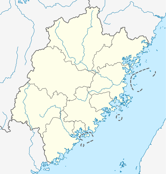
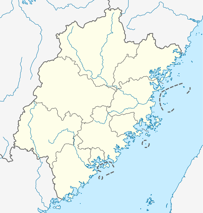
English: Location map of Fujian, People's Republic of China
(Note: the insular counties of Kinmen (Quemoy) and Lienchiang (Matsu Islands), Taiwan (ROC), are shown with dashed lines.) Equirectangular projection, N/S stretching 111 %. Geographic limits of the map:
|
|
| Date | ||
| Source |
Own work, using
|
|
| Author | NordNordWest | |
| Permission (Reusing this file) |
This file is licensed under the Creative Commons Attribution-Share Alike 3.0 Germany license.
 This file is licensed under the Creative Commons Attribution-Share Alike 3.0 Unported license.
|


|
This map has been made or improved in the German Kartenwerkstatt (Map Lab). You can propose maps to improve as well.
|
File history
Click on a date/time to view the file as it appeared at that time.
| Date/Time | Thumbnail | Dimensions | User | Comment | |
|---|---|---|---|---|---|
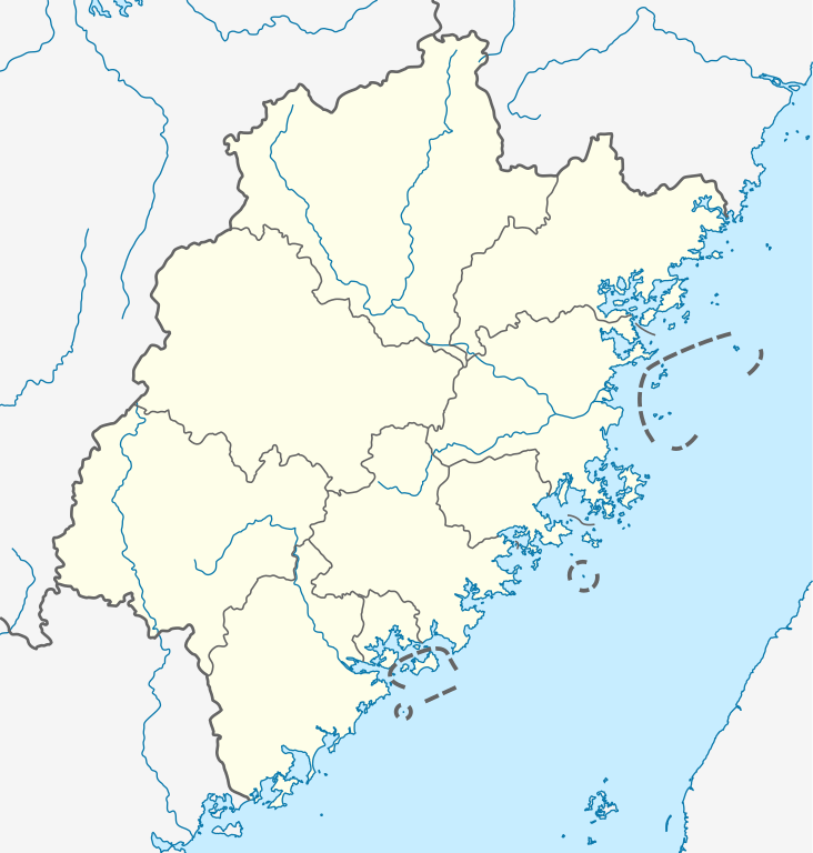
| current | 17:21, 14 October 2020 | | 780 × 818 (277 KB) | NordNordWest (talk | contribs) | upd |
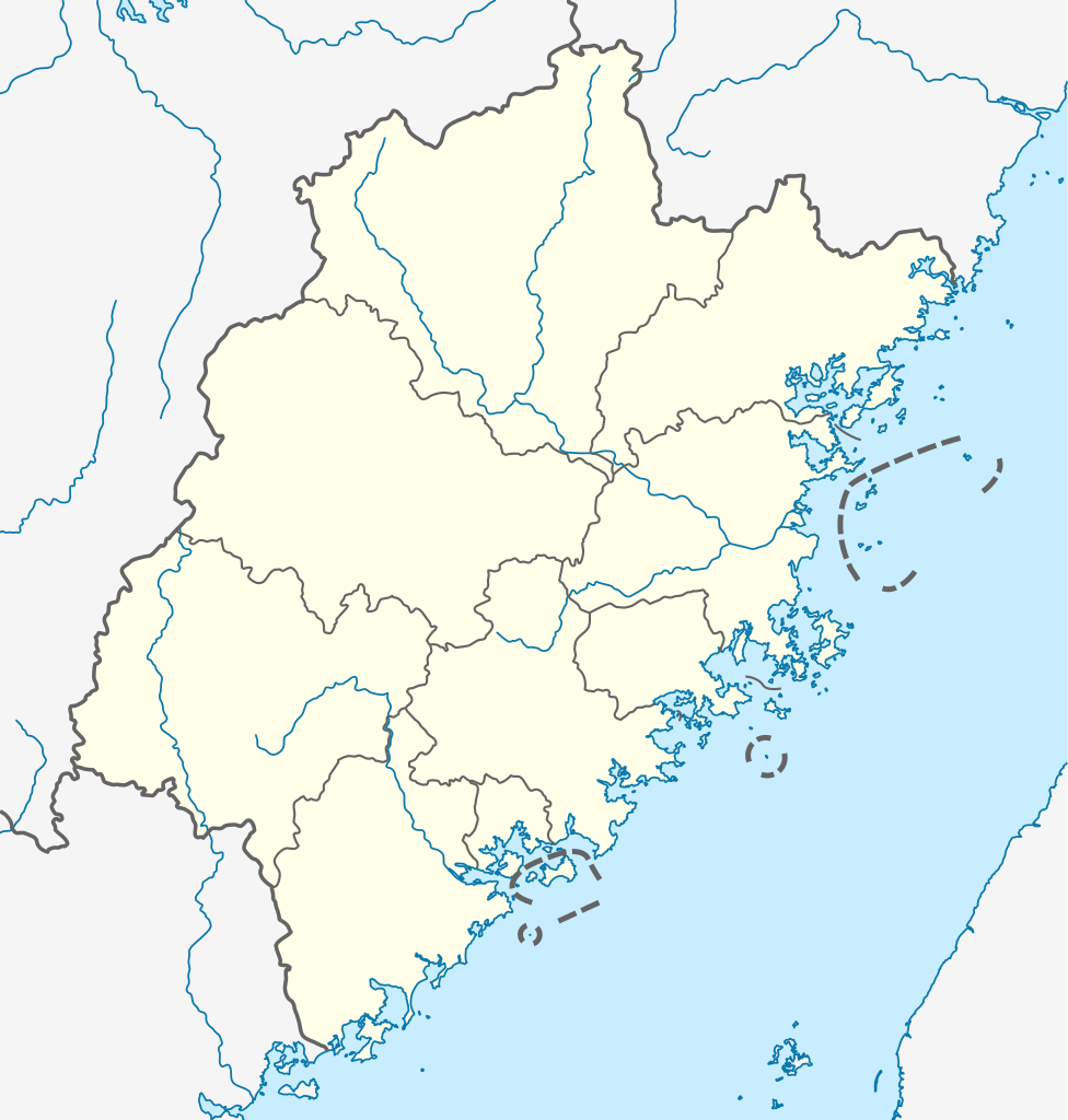
| 12:18, 20 June 2011 |  | 780 × 818 (282 KB) | NordNordWest (talk | contribs) | =={{int:filedesc}}== {{Information |Description= {{de|Positionskarte von Fujian, Volksrepublik China}} Quadratische Plattkarte, N-S-Streckung 111 %. Geographische Begrenzung der Karte: * N: 28.5° N * S: 23.3° N |
You cannot overwrite this file.
File usage on Commons
There are no pages that use this file.
File usage on other wikis
The following other wikis use this file:
- Usage on ar.wikipedia.org
- Usage on bg.wikipedia.org
- Usage on bn.wikipedia.org
- Usage on cdo.wikipedia.org
- Usage on ceb.wikipedia.org
- Usage on cs.wikipedia.org
- Usage on fa.wikipedia.org
View more global usage of this file.