File:China Dehong location map.svg
Jump to navigation
Jump to search

Size of this PNG preview of this SVG file: 440 × 600 pixels. Other resolutions: 176 × 240 pixels | 352 × 480 pixels | 563 × 768 pixels | 751 × 1,024 pixels | 1,502 × 2,048 pixels | 759 × 1,035 pixels.
Original file (SVG file, nominally 759 × 1,035 pixels, file size: 795 KB)
Captions
Captions
Add a one-line explanation of what this file represents
Summary
[edit]
| Description |
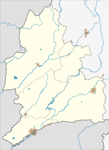
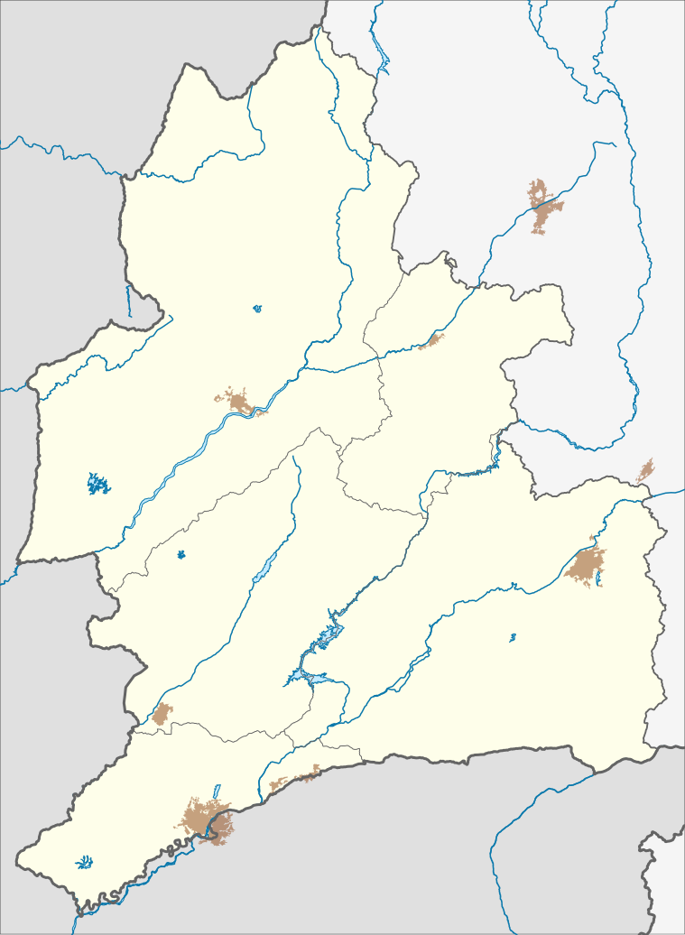
English: Location map of Dehong Dai and Jingpo Autonomous Prefecture
CRS: EPSG:3857 - WGS 84 / Pseudo-Mercator. Geographic limits of the map:
|
| Date | |
| Source | Own work |
| Author | 瑞丽江的河水 |
Licensing
[edit]
I, the copyright holder of this work, hereby publish it under the following license:
This file is licensed under the Creative Commons Attribution-Share Alike 4.0 International license.
- You are free:
- to share – to copy, distribute and transmit the work
- to remix – to adapt the work
- Under the following conditions:
- attribution – You must give appropriate credit, provide a link to the license, and indicate if changes were made. You may do so in any reasonable manner, but not in any way that suggests the licensor endorses you or your use.
- share alike – If you remix, transform, or build upon the material, you must distribute your contributions under the same or compatible license as the original.
File history
Click on a date/time to view the file as it appeared at that time.
| Date/Time | Thumbnail | Dimensions | User | Comment | |
|---|---|---|---|---|---|
| current | 01:39, 30 July 2024 | | 759 × 1,035 (795 KB) | 瑞丽江的河水 (talk | contribs) | 数据没清理干净ozz |
| 00:44, 30 July 2024 |  | 759 × 1,035 (796 KB) | 瑞丽江的河水 (talk | contribs) | Uploaded own work with UploadWizard |
You cannot overwrite this file.
File usage on Commons
There are no pages that use this file.
File usage on other wikis
The following other wikis use this file:
- Usage on zh.wikipedia.org
- 德宏芒市国际机场
- 芒究水库
- 姐勒水库
- 瑞丽景成直升机场
- 中央杭州飞机制造厂 (垒允时期)
- 勐巴娜西珍奇园
- 瑞丽市第一民族中学
- 油竹坝水库
- 中国德昂族博物馆
- 芒市第一中学
- 风平佛塔
- 三仙洞 (芒市)
- 雷允
- 广喊
- 雷允通道
- 广喊渡口
- 喊板
- 弄岛通道
- 回环 (瑞丽)
- 允井渡口
- 棒蚌渡口
- 贺闷渡口
- 屯洪渡口
- 银井通道
- 中央民族大学附属中学芒市实验学校
- 畹町口岸
- 瑞丽口岸
- 畹町中学
- 瑞丽市第三民族中学
- 瑞丽植物园
- 扎朵瀑布
- 芒林水库
- 弄莫湖
- 清塘河水库
- Template:Location map China Yunnan Dehong
- Module:Location map/data/China Yunnan Dehong
- Module:Location map/data/China Yunnan Dehong/doc
- Module:Location map/data/China Dehong