File:Childwall Fields - geograph.org.uk - 338855.jpg
Jump to navigation
Jump to search
No higher resolution available.
Childwall_Fields_-_geograph.org.uk_-_338855.jpg (640 × 480 pixels, file size: 64 KB, MIME type: image/jpeg)
Captions
Captions
Add a one-line explanation of what this file represents
Summary
[edit]
| Description |
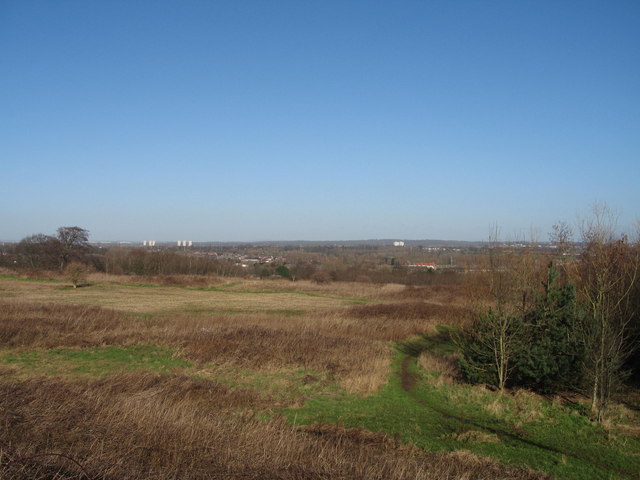
English: Childwall Fields The area of open grassland now known as Childwall Fields was once Childwall Park, on which stood the 18th Century Childwall Hall. Although the original boundary has changed little, from Childwall Woods to Childwall Lane, the actual terrain has been "terraced" due to the land being used as a landfill site in the 1960's. Nature has reclaimed and it is a good place to walk as it has abundant wildlife and set high on a sandstone ridge, the fields have fine views to Huyton, Prescot and beyond. |
| Date | |
| Source | From geograph.org.uk |
| Author | Sue Adair |
| Attribution (required by the license) | Sue Adair / Childwall Fields / |
| Camera location | | View this and other nearby images on: OpenStreetMap |
|---|
_heading:45.00&language=en)
| Object location | | View this and other nearby images on: OpenStreetMap |
|---|
_heading:45.00&language=en)
Licensing
[edit]

|
This image was taken from the Geograph project collection. See this photograph's page on the Geograph website for the photographer's contact details. The copyright on this image is owned by Sue Adair and is licensed for reuse under the Creative Commons Attribution-ShareAlike 2.0 license.
|
This file is licensed under the Creative Commons Attribution-Share Alike 2.0 Generic license.
Attribution: Sue Adair
- You are free:
- to share – to copy, distribute and transmit the work
- to remix – to adapt the work
- Under the following conditions:
- attribution – You must give appropriate credit, provide a link to the license, and indicate if changes were made. You may do so in any reasonable manner, but not in any way that suggests the licensor endorses you or your use.
- share alike – If you remix, transform, or build upon the material, you must distribute your contributions under the same or compatible license as the original.
File history
Click on a date/time to view the file as it appeared at that time.
| Date/Time | Thumbnail | Dimensions | User | Comment | |
|---|---|---|---|---|---|
| current | 21:28, 30 December 2010 | | 640 × 480 (64 KB) | GeographBot (talk | contribs) | == {{int:filedesc}} == {{Information |description={{en|1=Childwall Fields The area of open grassland now known as Childwall Fields was once Childwall Park, on which stood the 18th Century Childwall Hall. Although the original boundary has changed little, |
You cannot overwrite this file.
File usage on Commons
There are no pages that use this file.