File:Chiesa di Santa Giuletta - panoramio.jpg
Jump to navigation
Jump to search

Size of this preview: 800 × 532 pixels. Other resolutions: 320 × 213 pixels | 640 × 426 pixels | 1,024 × 681 pixels | 1,280 × 851 pixels | 2,000 × 1,330 pixels.
Original file (2,000 × 1,330 pixels, file size: 855 KB, MIME type: image/jpeg)
Captions
Captions
Add a one-line explanation of what this file represents
Summary
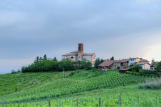
[edit]| Description | Chiesa di Santa Giuletta | ||
| Date | 27 May 2012 (original upload date) | ||
| Source | https://web.archive.org/web/20161025034946/http://www.panoramio.com/photo/72749775 | ||
| Author | Terensky | ||
| Permission (Reusing this file) |
This file is licensed under the Creative Commons Attribution 3.0 Unported license. Attribution: Terensky
|
||
| Tags (from Panoramio photo page) | Santa Giuletta, Lombardia, Oltrepo Pavese, Santa Giuletta |
| Camera location | | View this and other nearby images on: OpenStreetMap |
|---|

File history
Click on a date/time to view the file as it appeared at that time.
| Date/Time | Thumbnail | Dimensions | User | Comment | |
|---|---|---|---|---|---|
| current | 06:49, 4 January 2017 | | 2,000 × 1,330 (855 KB) | Panoramio upload bot (talk | contribs) | == {{int:filedesc}} == {{Information |description=Chiesa di Santa Giuletta |date={{Original upload date|2012-05-27}} |source=http://www.panoramio.com/photo/72749775 |author=[http://www.panoramio.com/user/4616731?with_photo_id=72749775 Terensky] |permis... |
You cannot overwrite this file.
File usage on Commons
The following page uses this file:
File usage on other wikis
The following other wikis use this file:
- Usage on ce.wikipedia.org
- Usage on sh.wikipedia.org
- Usage on sr.wikipedia.org
- Usage on tt.wikipedia.org
- Usage on www.wikidata.org