File:Chiesa di San Silvestro (Venezia) Campanile in campo.jpg
Jump to navigation
Jump to search

Size of this preview: 724 × 600 pixels. Other resolutions: 290 × 240 pixels | 579 × 480 pixels | 927 × 768 pixels | 1,236 × 1,024 pixels | 2,472 × 2,048 pixels | 6,106 × 5,059 pixels.
Original file (6,106 × 5,059 pixels, file size: 17.15 MB, MIME type: image/jpeg)
Captions
Captions
Add a one-line explanation of what this file represents
Summary
[edit]|
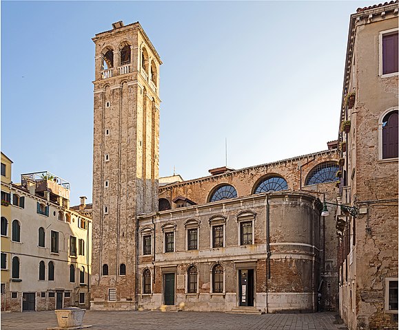
San Silvestro (Venice), campanile and church (West exposure) | |||||||||||||||||||
|
Summary[edit]
| |||||||||||||||||||


_Campanile_in_campo.jpg)
.jpg)
_Campanile_in_campo.jpg&action=edit§ion=1)
_Campanile_in_campo.jpg)
_Campanile_in_campo.jpg&action=edit§ion=2)
_Campanile_in_campo.jpg¶ms=045.437680_N_0012.333203_E_globe:Earth_type:camera__&language=en)
File history
Click on a date/time to view the file as it appeared at that time.
| Date/Time | Thumbnail | Dimensions | User | Comment | |
|---|---|---|---|---|---|
| current | 20:12, 8 May 2014 | | 6,106 × 5,059 (17.15 MB) | Archaeodontosaurus (talk | contribs) | {{Information |Description ={{en|1=c}} |Source ={{own}} |Author =Archaeodontosaurus |Date = |Permission = |other_versions = }} |
You cannot overwrite this file.
File usage on Commons
The following 5 pages use this file:
File usage on other wikis
The following other wikis use this file:
- Usage on de.wikipedia.org
- Usage on en.wikipedia.org
- Usage on fr.wikipedia.org
- Usage on it.wikipedia.org
- Usage on nl.wikivoyage.org
- Usage on ro.wikipedia.org
- Usage on zh.wikipedia.org
_Campanile_in_campo.jpg&oldid=908338599)