File:Chicklade Bottom Farm near Fonthill Bishop - geograph.org.uk - 483075.jpg
Jump to navigation
Jump to search
No higher resolution available.
Chicklade_Bottom_Farm_near_Fonthill_Bishop_-_geograph.org.uk_-_483075.jpg (640 × 480 pixels, file size: 120 KB, MIME type: image/jpeg)
Captions
Captions
Add a one-line explanation of what this file represents
Summary
[edit]
| Description |
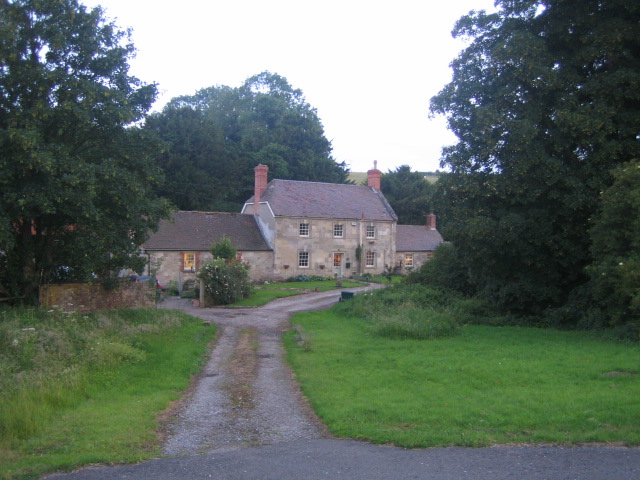
English: Chicklade Bottom Farm near Fonthill Bishop. Chicklade Bottom Farm is almost stranded on the south side of the busy A303 trunk road that runs east-west 50m from its front door, though there is an exit via a minor road to Hindon 100m to the west. Chicklade Bottom is a dry enclosed valley flanked on all sides by the chalk downs of west Wiltshire, and lies on the route of the ancient Ox Drove along which cattle were driven to Wilton and Salisbury markets, as well as on the Monarch's Way long distance footpath, see 481937.
There are three other farms about 2km further west along Chicklade Bottom, and these make up the hamlet of Chicklade, which is dominated by the presence and noise of the trunk road. Chicklade Bottom Farm was at one time a coaching inn and was also known as New Inn, and provided accommodation for passing drovers and travellers. This followed the turnpiking of the Amesbury to East Knoyle road in 1762, and the name is used on a 1773 map of Wiltshire in Wiltshire County Council historical records, http://www.wiltshire.gov.uk/gallery/map/chicklade_map001.jpg. The farmhouse is a listed building, https://historicengland.org.uk/listing/the-list/list-entry/1183754 |
| Date | |
| Source | From geograph.org.uk |
| Author | Andy Gryce |
| Attribution (required by the license) | Andy Gryce / Chicklade Bottom Farm near Fonthill Bishop / |
| Camera location | | View this and other nearby images on: OpenStreetMap |
|---|
_heading:225.00&language=en)
| Object location | | View this and other nearby images on: OpenStreetMap |
|---|
_heading:225.00&language=en)
Licensing
[edit]

|
This image was taken from the Geograph project collection. See this photograph's page on the Geograph website for the photographer's contact details. The copyright on this image is owned by Andy Gryce and is licensed for reuse under the Creative Commons Attribution-ShareAlike 2.0 license.
|
This file is licensed under the Creative Commons Attribution-Share Alike 2.0 Generic license.
Attribution: Andy Gryce
- You are free:
- to share – to copy, distribute and transmit the work
- to remix – to adapt the work
- Under the following conditions:
- attribution – You must give appropriate credit, provide a link to the license, and indicate if changes were made. You may do so in any reasonable manner, but not in any way that suggests the licensor endorses you or your use.
- share alike – If you remix, transform, or build upon the material, you must distribute your contributions under the same or compatible license as the original.
- Remove redundant categories and try to put this image in the most specific category/categories
- Remove this template
- The location categories are based on information from this geonames tool and this OpenStreetMap tool combined with a database. You can also have a look at this tool from mysociety.
- The topic category from Geograph was Farm (find similar images at Geograph)
File history
Click on a date/time to view the file as it appeared at that time.
| Date/Time | Thumbnail | Dimensions | User | Comment | |
|---|---|---|---|---|---|
| current | 01:12, 5 February 2011 | | 640 × 480 (120 KB) | GeographBot (talk | contribs) | == {{int:filedesc}} == {{Information |description={{en|1=Chicklade Bottom Farm near Fonthill Bishop Chicklade Bottom Farm is almost stranded on the south side of the busy A303 trunk road that runs east-west 50m from its front door, though there is an exit |
You cannot overwrite this file.
File usage on Commons
There are no pages that use this file.