File:Chaussée Brunehaut - Forêt de Chantilly - parc188-189.jpg
Jump to navigation
Jump to search

Size of this preview: 551 × 599 pixels. Other resolutions: 221 × 240 pixels | 441 × 480 pixels | 642 × 698 pixels.
Original file (642 × 698 pixels, file size: 710 KB, MIME type: image/jpeg)
Captions
Captions
Add a one-line explanation of what this file represents
Summary
[edit]
| Description |
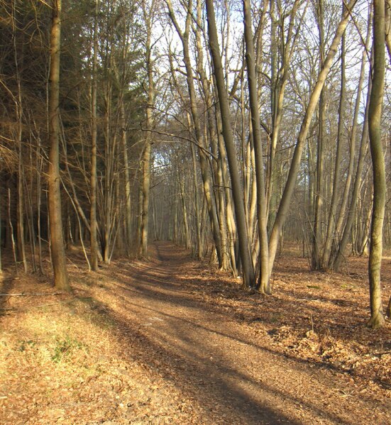
English: Forest trail in forest of Chantilly, ancient roman road from Senlis to Paris via Luzarches.
Français : Chemin forestier dans la forêt de Chantilly appelé Chaussée Brunehaut. Ancienne voie romaine de Senlis à Paris via Luzarches. Actuel GR12 passant entre les parcelles 188 et 189. |
| Date | |
| Source | Own work |
| Author | Mel22 |
| Camera location | | View this and other nearby images on: OpenStreetMap |
|---|
Licensing
[edit]
I, the copyright holder of this work, hereby publish it under the following license:
This file is licensed under the Creative Commons Attribution 3.0 Unported license.
- You are free:
- to share – to copy, distribute and transmit the work
- to remix – to adapt the work
- Under the following conditions:
- attribution – You must give appropriate credit, provide a link to the license, and indicate if changes were made. You may do so in any reasonable manner, but not in any way that suggests the licensor endorses you or your use.
File history
Click on a date/time to view the file as it appeared at that time.
| Date/Time | Thumbnail | Dimensions | User | Comment | |
|---|---|---|---|---|---|
| current | 19:42, 14 February 2010 | | 642 × 698 (710 KB) | Mel22 (talk | contribs) | {{Information |Description={{en|1=Forest trail in Forest of Chantilly, ancient roman road from Senlis to Paris via Luzarches.}} {{fr|1=Chemin forestier dans la forêt de Chantilly appelé Chaussée Brunehaut. Ancienne voie romaine de Senlis à Paris via L |
You cannot overwrite this file.
File usage on Commons
The following page uses this file:
File usage on other wikis
The following other wikis use this file:
- Usage on es.wikipedia.org
- Usage on fr.wikipedia.org
- Usage on it.wikipedia.org
- Usage on www.wikidata.org