File:Chattanooga City Limits in Oklahoma.jpg
Jump to navigation
Jump to search
Size of this preview: 799 × 599 pixels. Other resolutions: 320 × 240 pixels | 640 × 480 pixels | 1,024 × 768 pixels | 1,280 × 960 pixels | 2,560 × 1,920 pixels | 3,150 × 2,363 pixels.
Original file (3,150 × 2,363 pixels, file size: 646 KB, MIME type: image/jpeg)
Captions
Captions
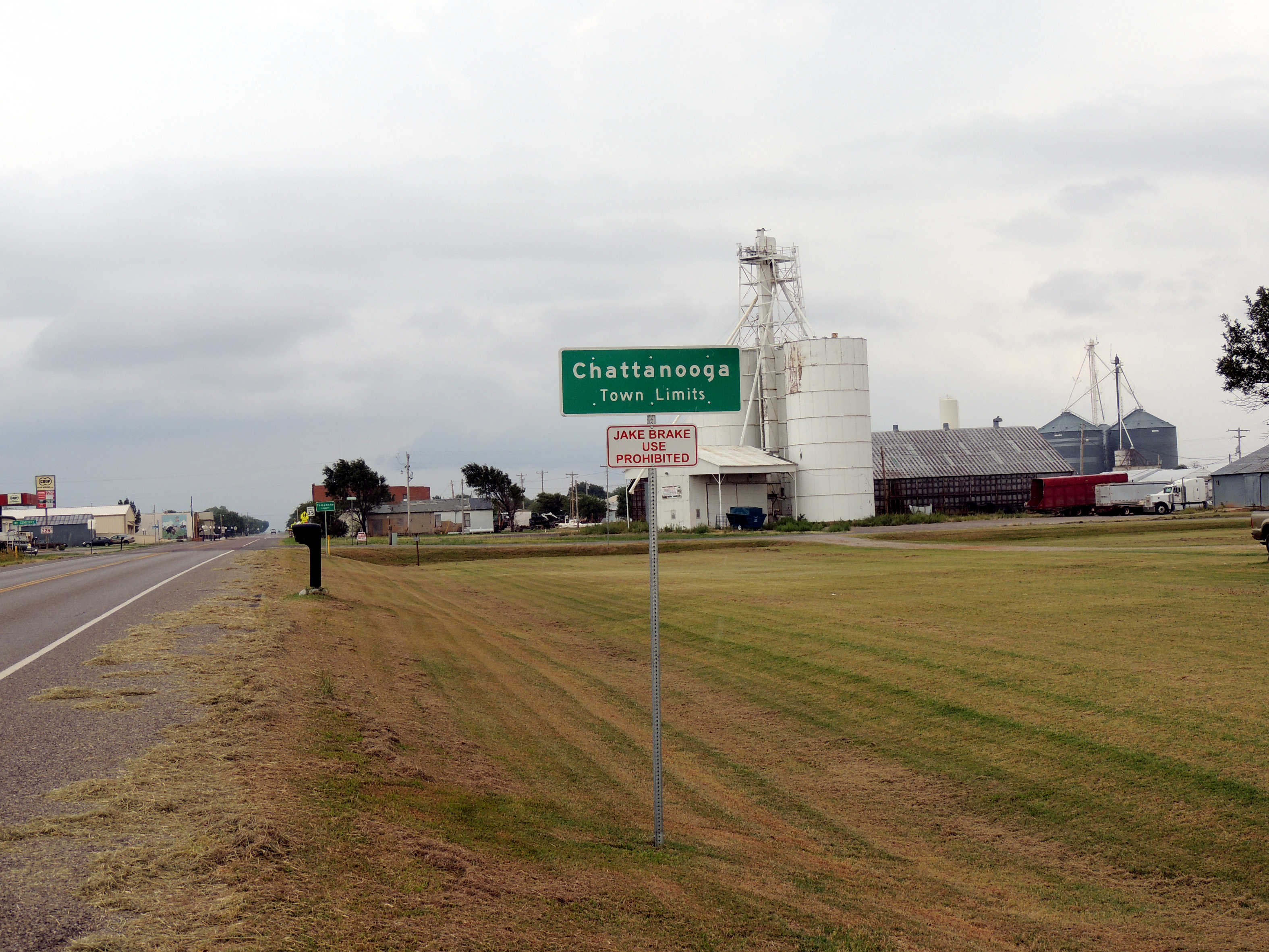
City Limits of Chattanooga, Oklahoma
Summary
[edit]
| Description |
English: Rural town limits for Chattanooga, Oklahoma located in the southwest quadrant of Oklahoma. The Chattanooga town limit is located .129 miles (208 m) west of the Comanche County and Tillman County boundaries. |
| Date | |
| Source | Own work |
| Author | Jphill19 |
| Camera location | | View this and other nearby images on: OpenStreetMap |
|---|
Licensing
[edit]
I, the copyright holder of this work, hereby publish it under the following license:
This file is licensed under the Creative Commons Attribution-Share Alike 4.0 International license.
- You are free:
- to share – to copy, distribute and transmit the work
- to remix – to adapt the work
- Under the following conditions:
- attribution – You must give appropriate credit, provide a link to the license, and indicate if changes were made. You may do so in any reasonable manner, but not in any way that suggests the licensor endorses you or your use.
- share alike – If you remix, transform, or build upon the material, you must distribute your contributions under the same or compatible license as the original.
File history
Click on a date/time to view the file as it appeared at that time.
| Date/Time | Thumbnail | Dimensions | User | Comment | |
|---|---|---|---|---|---|
| current | 20:11, 21 September 2019 | | 3,150 × 2,363 (646 KB) | Jphill19 (talk | contribs) | User created page with UploadWizard |
You cannot overwrite this file.
File usage on Commons
There are no pages that use this file.