File:Chapel of the Crucifix Santi Giovanni e Paolo (Venice) - Tomb of Paolo Loredan.jpg
Jump to navigation
Jump to search

Size of this preview: 800 × 599 pixels. Other resolutions: 320 × 240 pixels | 640 × 479 pixels | 1,024 × 767 pixels | 1,280 × 958 pixels | 2,560 × 1,916 pixels | 6,180 × 4,626 pixels.
Original file (6,180 × 4,626 pixels, file size: 16.58 MB, MIME type: image/jpeg)
Captions
Captions
Add a one-line explanation of what this file represents
Summary
[edit]|
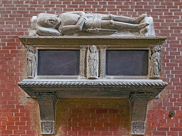
Chapel of the Crucifix Santi Giovanni e Paolo (Venice) – Tomb of Paolo Loredan | ||||||||||||||||||||||||||||||||||||||||
|
| ||||||||||||||||||||||||||||||||||||||||

.jpg)
_-_Tomb_of_Paolo_Loredan.jpg)
_-_Altar_and_altarpiece,_in_black_marble,_by_Alessandro_Vittoria.jpg)
_-_Crucifix_by_Francesco_Caprioli.jpg)
_-_the_Virgin_of_pain_by_Vittoria.jpg)
_-_Saint_John_the_Evangelist_by_Vittoria.jpg)
_-_Tomb_of_Edward_Windsor.jpg)
_-_Tomb_of_Paolo_Loredan.jpg&action=edit§ion=1)
_-_Tomb_of_Paolo_Loredan.jpg)
_-_Tomb_of_Paolo_Loredan.jpg¶ms=045.439324_N_0012.341983_E_globe:Earth_class:object_type:object_region:IT_&language=en)
File history
Click on a date/time to view the file as it appeared at that time.
| Date/Time | Thumbnail | Dimensions | User | Comment | |
|---|---|---|---|---|---|
| current | 08:00, 7 February 2016 | | 6,180 × 4,626 (16.58 MB) | Archaeodontosaurus (talk | contribs) | New version |
| 09:00, 5 January 2016 |  | 6,180 × 4,626 (17.11 MB) | Archaeodontosaurus (talk | contribs) | {{Information |Description ={{en|1=C}} |Source ={{own}} |Author =Archaeodontosaurus |Date = |Permission = |other_versions = }} |
You cannot overwrite this file.
File usage on Commons
The following 10 pages use this file:
- Santi Giovanni e Paolo (Venice)
- User:Althair/Favorites
- User talk:Archaeodontosaurus/Premier semestre 2016
- Commons:Valued image candidates/Chapel of the Crucifix Santi Giovanni e Paolo (Venice) - Tomb of Paolo Loredan.jpg
- File:Chapel of the Crucifix Santi Giovanni e Paolo (Venice) - Altar and altarpiece, in black marble, by Alessandro Vittoria.jpg
- File:Chapel of the Crucifix Santi Giovanni e Paolo (Venice) - Crucifix by Francesco Caprioli.jpg
- File:Chapel of the Crucifix Santi Giovanni e Paolo (Venice) - Saint John the Evangelist by Vittoria.jpg
- File:Chapel of the Crucifix Santi Giovanni e Paolo (Venice) - Tomb of Edward Windsor.jpg
- File:Chapel of the Crucifix Santi Giovanni e Paolo (Venice) - Tomb of Paolo Loredan.jpg
- File:Chapel of the Crucifix Santi Giovanni e Paolo (Venice) - the Virgin of pain by Vittoria.jpg
File usage on other wikis
The following other wikis use this file:
- Usage on en.wikipedia.org
- Usage on fr.wikipedia.org
- Usage on hr.wikipedia.org
- Usage on it.wikipedia.org
- Usage on sh.wikipedia.org
_-_Tomb_of_Paolo_Loredan.jpg&oldid=879772325)