File:Chapel Street Bridge from north, 2017.jpg
Jump to navigation
Jump to search

Size of this preview: 600 × 600 pixels. Other resolutions: 240 × 240 pixels | 480 × 480 pixels.
Original file (800 × 800 pixels, file size: 231 KB, MIME type: image/jpeg)
Captions
Captions
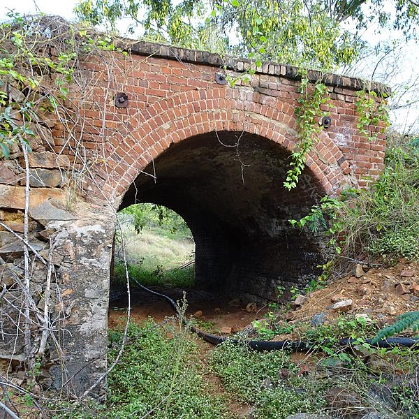
Chapel Street Bridge from north, 2017
Summary
[edit]
| Description |
English: Chapel Street Bridge from north, 2017 |
| Date | |
| Source | Chapel Street Bridge © The State of Queensland 1995–2022, published in the Queensland Heritage Register under CC-BY-4.0 |
| Author | Heritage branch staff |
| Camera location | | View this and other nearby images on: OpenStreetMap |
|---|
Licensing
[edit]
This file is licensed under the Creative Commons Attribution 4.0 International license.
- You are free:
- to share – to copy, distribute and transmit the work
- to remix – to adapt the work
- Under the following conditions:
- attribution – You must give appropriate credit, provide a link to the license, and indicate if changes were made. You may do so in any reasonable manner, but not in any way that suggests the licensor endorses you or your use.
File history
Click on a date/time to view the file as it appeared at that time.
| Date/Time | Thumbnail | Dimensions | User | Comment | |
|---|---|---|---|---|---|
| current | 11:53, 21 December 2022 | | 800 × 800 (231 KB) | Kerry Raymond (talk | contribs) | Uploaded a work by Heritage branch staff from [https://apps.des.qld.gov.au/heritage-register/detail/?id=650242 Chapel Street Bridge] © The State of Queensland 1995–2022, published in the Queensland Heritage Register under [https://www.qld.gov.au/legal/copyright CC-BY-4.0] with UploadWizard |
You cannot overwrite this file.
File usage on Commons
There are no pages that use this file.
File usage on other wikis
The following other wikis use this file:
- Usage on en.wikipedia.org