File:Ceres Valley Panorama View.jpg
Jump to navigation
Jump to search
Size of this preview: 800 × 198 pixels. Other resolutions: 320 × 79 pixels | 640 × 158 pixels | 2,048 × 506 pixels.
Original file (2,048 × 506 pixels, file size: 128 KB, MIME type: image/jpeg)
Captions
Captions
Add a one-line explanation of what this file represents
Summary
[edit]
| Camera location | | View this and other nearby images on: OpenStreetMap |
|---|
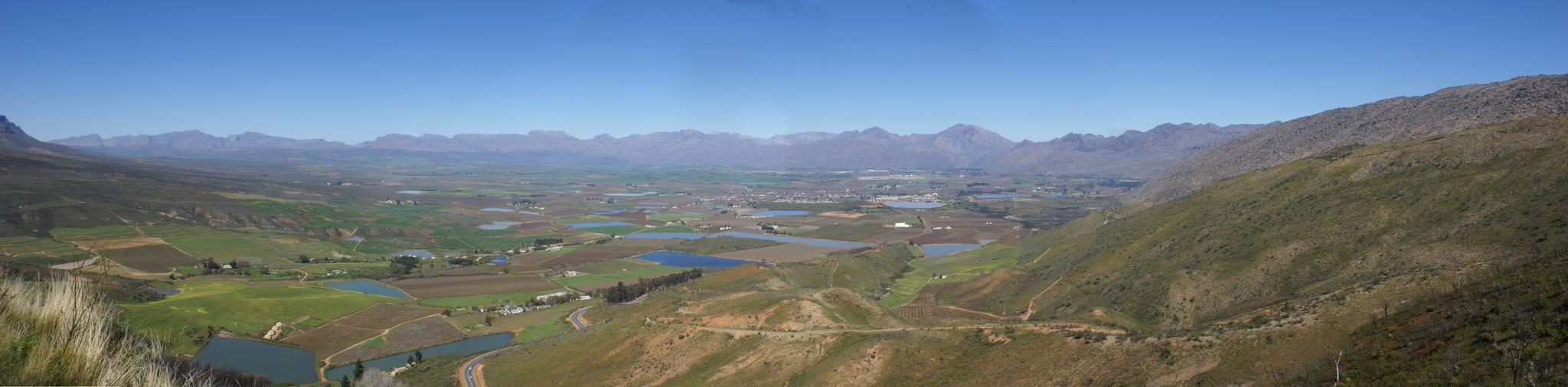
| Description | Took a ride today over Bain's Kloof Pass and Mitchell's Pass to Ceres, and then along a road I had not travelled before - over Gydo Pass and through some of the Cederberg Mountains to Citrusdal (some quite long gravel road stretches here). From Citrusdal I travelled over Piekenierkloof Pass (and finally photographed Thomas Bain's cottage that he built when building the mountain pass) and down the N7 back to Cape Town. | ||
| Date | |||
| Source | Ceres Valley Panorama View | ||
| Author | Danie van der Merwe from Cape Town, South Africa | ||
| Permission (Reusing this file) |
|
Licensing
[edit]
This file is licensed under the Creative Commons Attribution 2.0 Generic license.
- You are free:
- to share – to copy, distribute and transmit the work
- to remix – to adapt the work
- Under the following conditions:
- attribution – You must give appropriate credit, provide a link to the license, and indicate if changes were made. You may do so in any reasonable manner, but not in any way that suggests the licensor endorses you or your use.
File history
Click on a date/time to view the file as it appeared at that time.
| Date/Time | Thumbnail | Dimensions | User | Comment | |
|---|---|---|---|---|---|
| current | 19:01, 10 October 2007 | 2,048 × 506 (128 KB) | File Upload Bot (Magnus Manske) (talk | contribs) | {{Information |Description= Took a ride today over Bain's Kloof Pass and Mitchell's Pass to Ceres, and then along a road I had not travelled before - over Gydo Pass and through some of the Cederberg Mountains to Citrusdal (some quite long gravel road str |
You cannot overwrite this file.
File usage on Commons
There are no pages that use this file.
File usage on other wikis
The following other wikis use this file:
- Usage on en.wikipedia.org
- Usage on fr.wikipedia.org
- Usage on zh.wikipedia.org