File:Central Asia location map.svg
Jump to navigation
Jump to search

Size of this PNG preview of this SVG file: 512 × 455 pixels. Other resolutions: 270 × 240 pixels | 540 × 480 pixels | 864 × 768 pixels | 1,152 × 1,024 pixels | 2,305 × 2,048 pixels.
Original file (SVG file, nominally 512 × 455 pixels, file size: 559 KB)
Captions
Captions
Add a one-line explanation of what this file represents
Summary
[edit]
| Description |
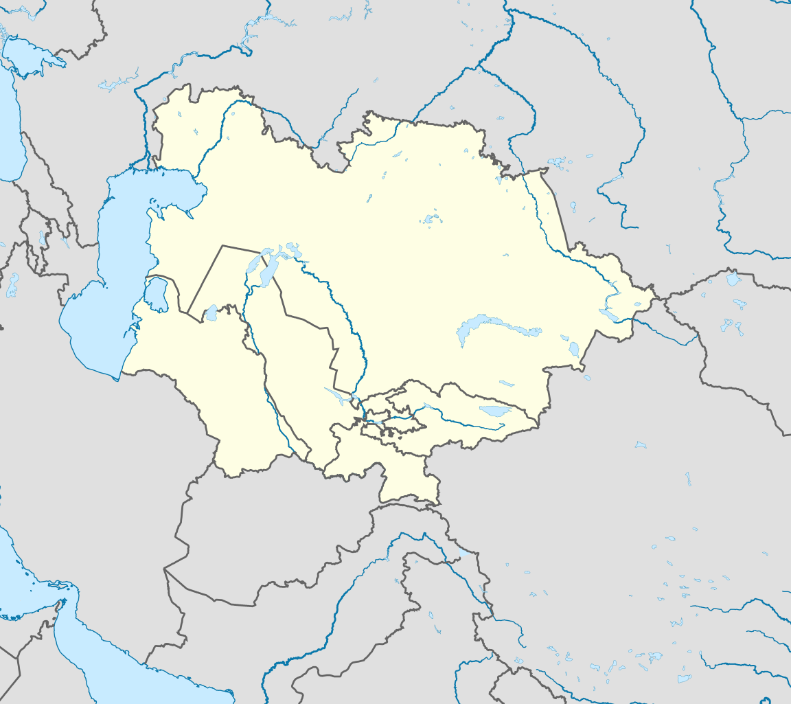
English: Central Asia location map |
| Date | |
| Source | QQ Group |
| Author | Edited by friends of User:童话的城市. |
Licensing
[edit]
This file is licensed under the Creative Commons Attribution-Share Alike 4.0 International license.
- You are free:
- to share – to copy, distribute and transmit the work
- to remix – to adapt the work
- Under the following conditions:
- attribution – You must give appropriate credit, provide a link to the license, and indicate if changes were made. You may do so in any reasonable manner, but not in any way that suggests the licensor endorses you or your use.
- share alike – If you remix, transform, or build upon the material, you must distribute your contributions under the same or compatible license as the original.
File history
Click on a date/time to view the file as it appeared at that time.
| Date/Time | Thumbnail | Dimensions | User | Comment | |
|---|---|---|---|---|---|
| current | 17:03, 14 March 2024 | | 512 × 455 (559 KB) | Rtfroot (talk | contribs) | the image depicts Central Asian countries, not the geographic region |
| 16:38, 4 September 2022 |  | 512 × 455 (599 KB) | Рагин1987 (talk | contribs) | Correction | |
| 15:34, 31 August 2022 |  | 2,305 × 2,051 (826 KB) | Рагин1987 (talk | contribs) | The territory of Kazakhstan north of the Ural River geographically belongs to Eastern Europe | |
| 15:39, 10 May 2020 |  | 512 × 455 (559 KB) | Nwjahehqeetrmphy (talk | contribs) | Uploaded a work by Edited by friends of User:童话的城市. from QQ Group with UploadWizard |
You cannot overwrite this file.
File usage on Commons
There are no pages that use this file.