File:Central African Republic location map.svg

Original file (SVG file, nominally 1,606 × 1,109 pixels, file size: 339 KB)
Captions
Captions
Summary
[edit]| Description |
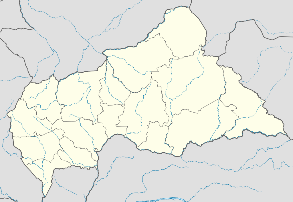
Deutsch: Positionskarte der Zentralafrikanischen Republik
Quadratische Plattkarte, N-S-Streckung 101 %. Geographische Begrenzung der Karte:
English: Location map of the Central African Republic
Equirectangular projection, N/S stretching 101 %. Geographic limits of the map:
|
|
| Date | ||
| Source |
Own work, using
|
|
| Author | NordNordWest | |
| Permission (Reusing this file) |
This file is licensed under the Creative Commons Attribution-Share Alike 3.0 Germany license.
 This file is licensed under the Creative Commons Attribution-Share Alike 3.0 Germany license.
|
|
| Other versions |
Derivative works of this file:
|


.svg)
.svg)
.svg)
.svg)
.svg)
.svg)
.svg)
.svg)
.svg)
.svg)
.svg)
.svg)
.svg)
.svg)
.svg)
.svg)

|
This map has been made or improved in the German Kartenwerkstatt (Map Lab). You can propose maps to improve as well.
|
File history
Click on a date/time to view the file as it appeared at that time.
| Date/Time | Thumbnail | Dimensions | User | Comment | |
|---|---|---|---|---|---|
| current | 17:59, 10 July 2011 | | 1,606 × 1,109 (339 KB) | NordNordWest (talk | contribs) | upd |
| 20:47, 5 December 2009 |  | 1,606 × 1,110 (556 KB) | NordNordWest (talk | contribs) | =={{int:filedesc}}== {{Information |Description= {{de|Positionskarte der Zentralafrikanischen Republik}} Quadratische Plattkarte, N-S-Streckung 101 %. Geographische Begrenzung der Karte: * N: 11.3° N * S: 2.0° N * W: |
You cannot overwrite this file.
File usage on Commons
The following 36 pages use this file:
- User:NordNordWest/Gallery/Location maps
- File:Bambingui-Bangoran (Central African Republic).svg
- File:Basse-Kotto (Central African Republic).svg
- File:Central African Republic - Bamingui-Bangoran.svg
- File:Central African Republic - Bangui.svg
- File:Central African Republic - Bangui (+special marker).svg
- File:Central African Republic - Basse-Kotto.svg
- File:Central African Republic - Haut-Mbomou.svg
- File:Central African Republic - Haute-Kotto.svg
- File:Central African Republic - Kémo.svg
- File:Central African Republic - Lobaye.svg
- File:Central African Republic - Mambéré-Kadéï.svg
- File:Central African Republic - Mbomou.svg
- File:Central African Republic - Nana-Grébizi.svg
- File:Central African Republic - Nana-Mambéré.svg
- File:Central African Republic - Ombella-M'Poko.svg
- File:Central African Republic - Ouaka.svg
- File:Central African Republic - Ouham-Pendé.svg
- File:Central African Republic - Ouham.svg
- File:Central African Republic - Sangha-Mbaéré.svg
- File:Central African Republic - Vakaga.svg
- File:Central African Republic relief location map.jpg
- File:Haut-Mbomou (Central African Republic).svg
- File:Haute-Kotto (Central African Republic).svg
- File:Kémo (Central African Republic).svg
- File:Lobaye (Central African Republic).svg
- File:Mambere-Kadei (Central African Republic).svg
- File:Mbomou (Central African Republic).svg
- File:Nana-Grebizi (Central African Republic).svg
- File:Nana-Mambéré (Central African Republic).svg
- File:Ombella-Mpoko (Central African Republic).svg
- File:Ouaka (Central African Republic).svg
- File:Ouham-Pendé (Central African Republic).svg
- File:Ouham (Central African Republic).svg
- File:Sangha-Mbaéré (Central African Republic).svg
- File:Vakaga (Central African Republic).svg
.svg)
File usage on other wikis
The following other wikis use this file:
- Usage on af.wikipedia.org
- Usage on am.wikipedia.org
- Usage on an.wikipedia.org
- Usage on ar.wikipedia.org
- Usage on ast.wikipedia.org
- Usage on azb.wikipedia.org
- Usage on az.wikipedia.org
- Usage on be.wikipedia.org
- Usage on bg.wikipedia.org
- Usage on bn.wikipedia.org
- Usage on bs.wikipedia.org
- Usage on ceb.wikipedia.org
View more global usage of this file.