File:Cascadia map.svg
Jump to navigation
Jump to search

Size of this PNG preview of this SVG file: 600 × 600 pixels. Other resolutions: 240 × 240 pixels | 480 × 480 pixels | 768 × 768 pixels | 1,024 × 1,024 pixels | 2,048 × 2,048 pixels | 1,730 × 1,730 pixels.
Original file (SVG file, nominally 1,730 × 1,730 pixels, file size: 216 KB)
Captions
Captions
Add a one-line explanation of what this file represents
| Description |
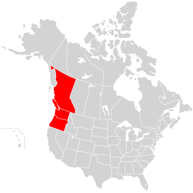
English: Map of the proposed Cascadia region, on a map of North America.
|
||
| Date | (UTC) | ||
| Source | |||
| Author |
|
||
| Permission (Reusing this file) |
I, the copyright holder of this work, hereby publish it under the following license: This file is licensed under the Creative Commons Attribution-Share Alike 2.5 Generic license.
|
Original upload log
[edit]
This image is a derivative work of the following images:
- File:BlankMap-USA-states-Canada-provinces,_HI_closer.svg licensed with Cc-by-sa-2.5
- 2007-12-08T21:18:24Z Lokal Profil 1730x1730 (216736 Bytes) Code trimming
- 2007-07-03T04:21:30Z Lokal Profil 1730x1730 (217702 Bytes) {{Information |Description={{en|Blank SVG map of USA and Canada with state and province borders. Hawaii has been moved closer to the mainland USA to reduce width of image.}} Non-contiguous parts of a states/provinces are "gro
Uploaded with derivativeFX
File history
Click on a date/time to view the file as it appeared at that time.
| Date/Time | Thumbnail | Dimensions | User | Comment | |
|---|---|---|---|---|---|
| current | 18:40, 5 January 2011 | | 1,730 × 1,730 (216 KB) | Admrboltz (talk | contribs) | {{Information |Description={{en|Map of the proposed Cascadia region, on a map of North America.}}{{RetouchedPicture|Colored in the states of Oregon and Washington and province of British Columbia|editor=Admrboltz|ori |
You cannot overwrite this file.
File usage on Commons
There are no pages that use this file.
File usage on other wikis
The following other wikis use this file: