File:Cascades des Confins.jpg
Jump to navigation
Jump to search
Size of this preview: 450 × 600 pixels. Other resolutions: 180 × 240 pixels | 360 × 480 pixels | 576 × 768 pixels | 768 × 1,024 pixels | 1,536 × 2,048 pixels | 3,312 × 4,416 pixels.
Original file (3,312 × 4,416 pixels, file size: 2.87 MB, MIME type: image/jpeg)
Captions
Captions
Add a one-line explanation of what this file represents
Summary
[edit]
///Cascades_des_Confins.jpg
| Description |
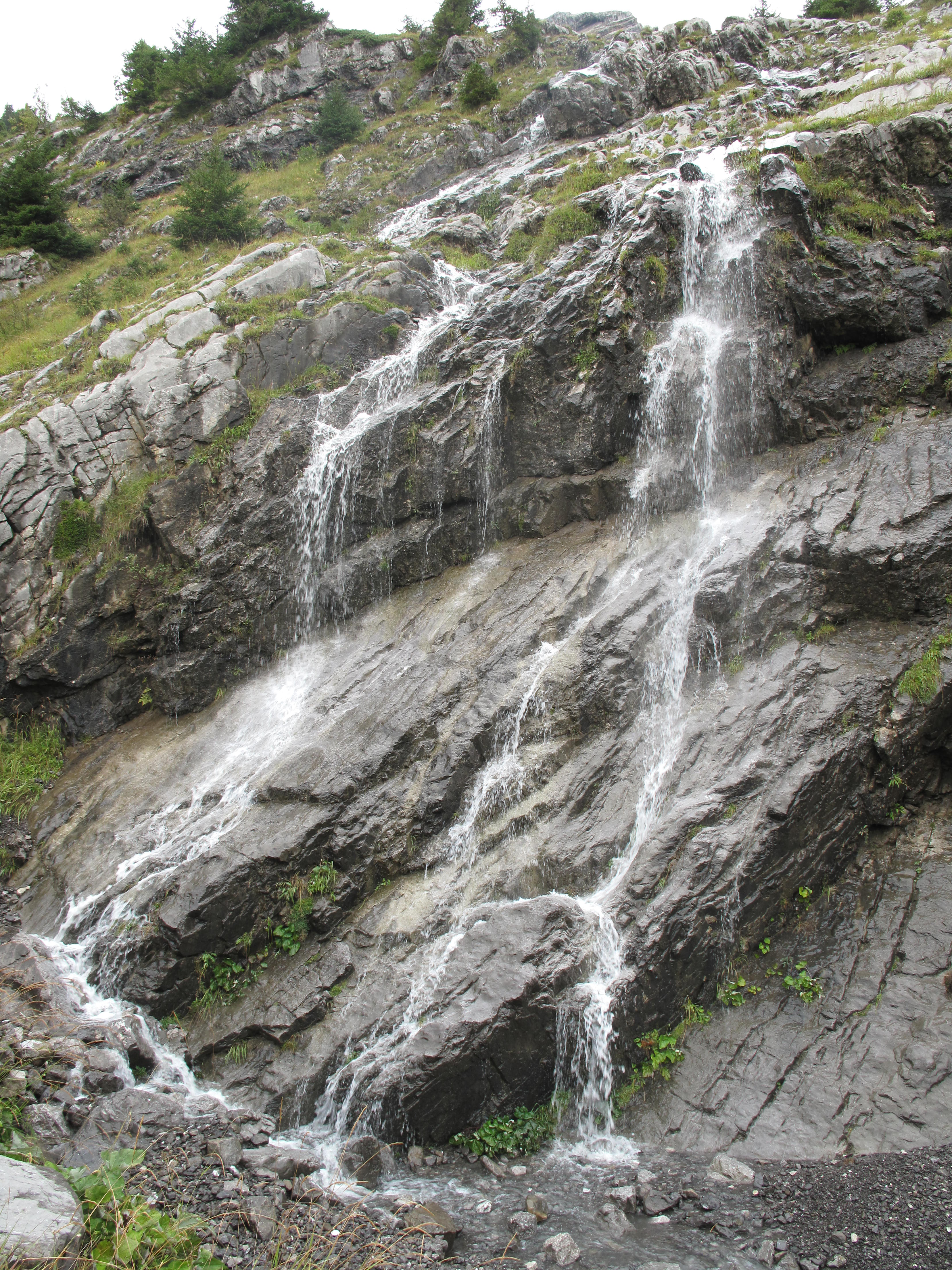
English: A waterfall breeding the Confins lake (Haute-Savoie, France).
Français : Une cascade qui alimente le lac des Confins (Haute-Savoie). |
| Date | |
| Source | Own work |
| Author | Tangopaso |
| Camera location | | View this and other nearby images on: OpenStreetMap |
|---|
Licensing
[edit]
| I, the copyright holder of this work, release this work into the public domain. This applies worldwide. In some countries this may not be legally possible; if so: I grant anyone the right to use this work for any purpose, without any conditions, unless such conditions are required by law. |
File history
Click on a date/time to view the file as it appeared at that time.
| Date/Time | Thumbnail | Dimensions | User | Comment | |
|---|---|---|---|---|---|
| current | 21:42, 30 November 2012 | | 3,312 × 4,416 (2.87 MB) | Tangopaso (talk | contribs) | ///Cascades_des_Confins.jpg {{Information |Description= {{en|1=A waterfall breeding the Confins lake (Haute-Savoie, France).}} {{fr|1=Une cascade qui alimente le lac des Confins (Haute-Savoie).}} |Source={{own}} |Author=Tangopaso |Da... |
You cannot overwrite this file.
File usage on Commons
There are no pages that use this file.