File:Casa do Alentejo.jpg
Jump to navigation
Jump to search

Size of this preview: 450 × 600 pixels. Other resolutions: 180 × 240 pixels | 360 × 480 pixels | 576 × 768 pixels | 768 × 1,024 pixels | 1,536 × 2,048 pixels.
Original file (1,536 × 2,048 pixels, file size: 1.36 MB, MIME type: image/jpeg)
Captions
Captions
Add a one-line explanation of what this file represents
|
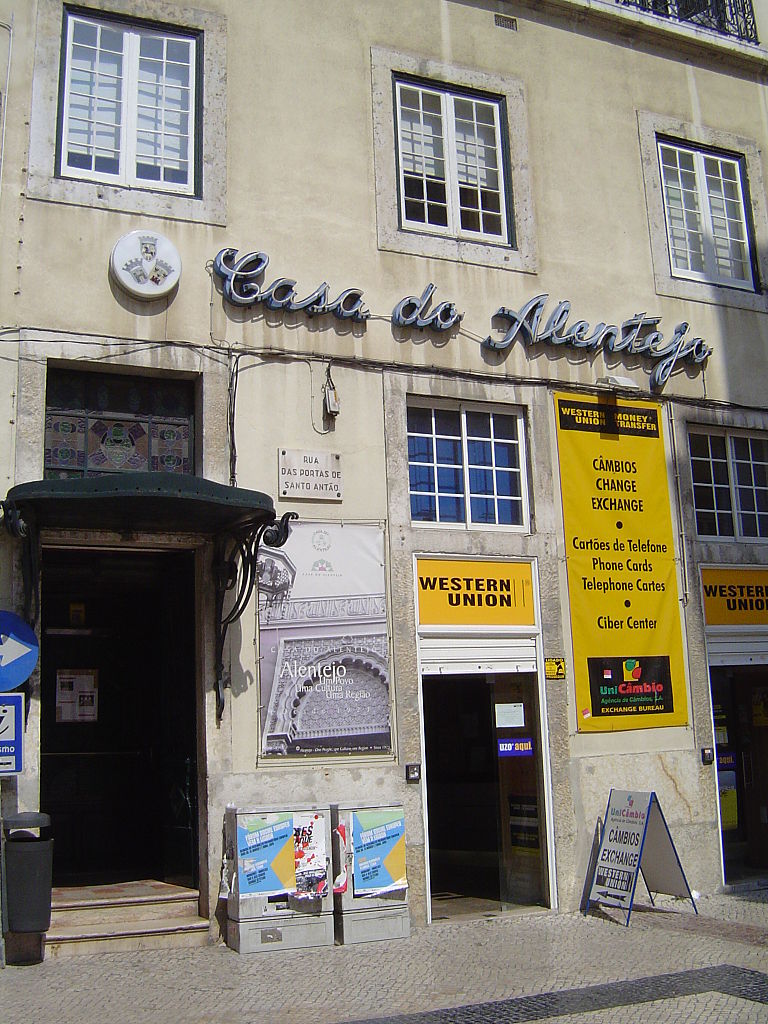
This monument is indexed in the IGESPAR database (
Instituto de Gestão do Património Arquitectónico e Arqueológico ), under the reference 71701.
|
| Description | Click here to see where this photo was taken. By courtesy of BeeLoop SL (the Mapware & Mobility Solutions Company). |
| Date | |
| Source |
[https://www.flickr.com/photos/24899877@N00/460932110/ Casa do Alentejo (Rua das Portas de Santo Ant�o - Lisbon)]
|
| Author | Sergio Calleja (Life is a trip) from Barcelona, Spain |
Licensing
[edit]
This file is licensed under the Creative Commons Attribution-Share Alike 2.0 Generic license.
- You are free:
- to share – to copy, distribute and transmit the work
- to remix – to adapt the work
- Under the following conditions:
- attribution – You must give appropriate credit, provide a link to the license, and indicate if changes were made. You may do so in any reasonable manner, but not in any way that suggests the licensor endorses you or your use.
- share alike – If you remix, transform, or build upon the material, you must distribute your contributions under the same or compatible license as the original.
| This image, originally posted to Flickr, was reviewed on March 19, 2010 by the administrator or reviewer File Upload Bot (Magnus Manske), who confirmed that it was available on Flickr under the stated license on that date. |
| Camera location | | View this and other nearby images on: OpenStreetMap |
|---|
File history
Click on a date/time to view the file as it appeared at that time.
| Date/Time | Thumbnail | Dimensions | User | Comment | |
|---|---|---|---|---|---|
| current | 23:52, 19 March 2010 | | 1,536 × 2,048 (1.36 MB) | File Upload Bot (Magnus Manske) (talk | contribs) | {{Information |Description=Click [http://maps.google.com/maps?t=k&hl=en&q=38.715879,-9.140083 here] to see where this photo was taken. By courtesy of [http://www.beeloop.com/ BeeLoop SL] (the Mapware & Mobility Solutions Company). |Source=[htt |
You cannot overwrite this file.
File usage on Commons
The following page uses this file:
File usage on other wikis
The following other wikis use this file:
- Usage on de.wikipedia.org
- Usage on en.wikivoyage.org
- Usage on es.wikipedia.org
- Usage on pt.wikipedia.org
- Usage on www.wikidata.org