File:Cartouche on a Marmara Sea map by Kauffer.jpg
Jump to navigation
Jump to search

Size of this preview: 788 × 599 pixels. Other resolutions: 316 × 240 pixels | 631 × 480 pixels | 1,010 × 768 pixels | 1,280 × 974 pixels | 2,560 × 1,947 pixels | 2,907 × 2,211 pixels.
Original file (2,907 × 2,211 pixels, file size: 1.26 MB, MIME type: image/jpeg)
Captions
Captions
Add a one-line explanation of what this file represents
Summary
[edit]| Description |
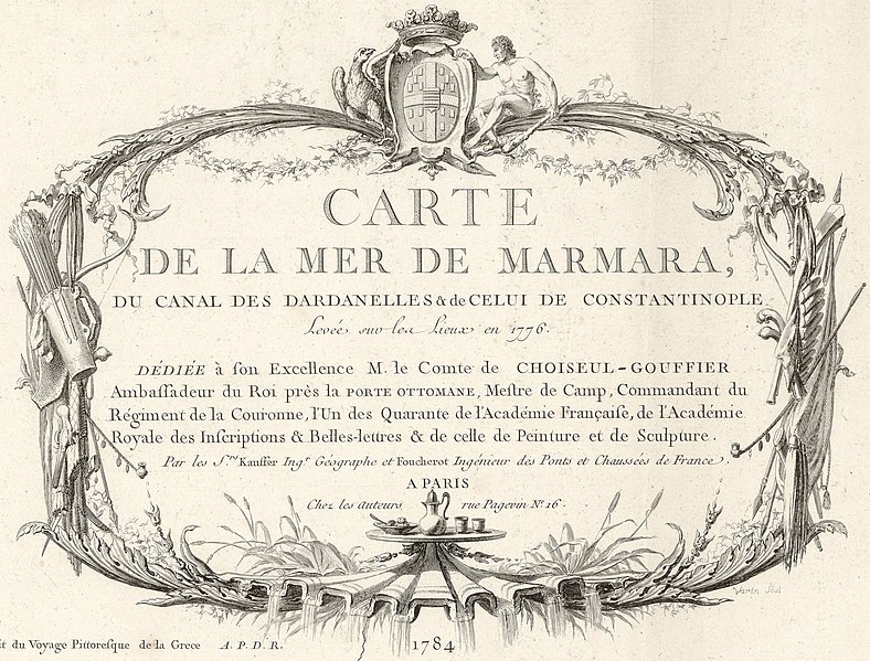
English: Carte de la mer de Marmara, du canal des Dardanelles & de celui de Constantinople : Levée sur les lieux en 1776 / Par les Srs. Kauffer, ingr. géographe et Foucherot, ingénieur des Ponts et Chaussées de France |
||
| Date | |||
| Source |
|
||
| Author | Autor : Kauffer, François (1751?-1801). Cartographe | ||
| Other versions |

Licensing
[edit]
|
This work is in the public domain in its country of origin and other countries and areas where the copyright term is the author's life plus 70 years or fewer. This work is in the public domain in the United States because it was published (or registered with the U.S. Copyright Office) before January 1, 1929. | |
| This file has been identified as being free of known restrictions under copyright law, including all related and neighboring rights. | |
File history
Click on a date/time to view the file as it appeared at that time.
| Date/Time | Thumbnail | Dimensions | User | Comment | |
|---|---|---|---|---|---|
| current | 17:38, 2 December 2022 | | 2,907 × 2,211 (1.26 MB) | Enyavar (talk | contribs) | File:1784 - Carte de la mer de Marmara, du canal des Dardanelles & de celui de Constantinople - Sheet 1.jpg cropped 59 % horizontally, 68 % vertically using CropTool with precise mode. |
You cannot overwrite this file.
File usage on Commons
The following page uses this file: