File:Cartouche on a Lower Saxony map by David Funck.jpg
Jump to navigation
Jump to search

Size of this preview: 800 × 586 pixels. Other resolutions: 320 × 235 pixels | 640 × 469 pixels | 1,024 × 751 pixels | 1,280 × 938 pixels | 1,644 × 1,205 pixels.
Original file (1,644 × 1,205 pixels, file size: 1,003 KB, MIME type: image/jpeg)
Captions
Captions
Add a one-line explanation of what this file represents
Summary
[edit]| Title |
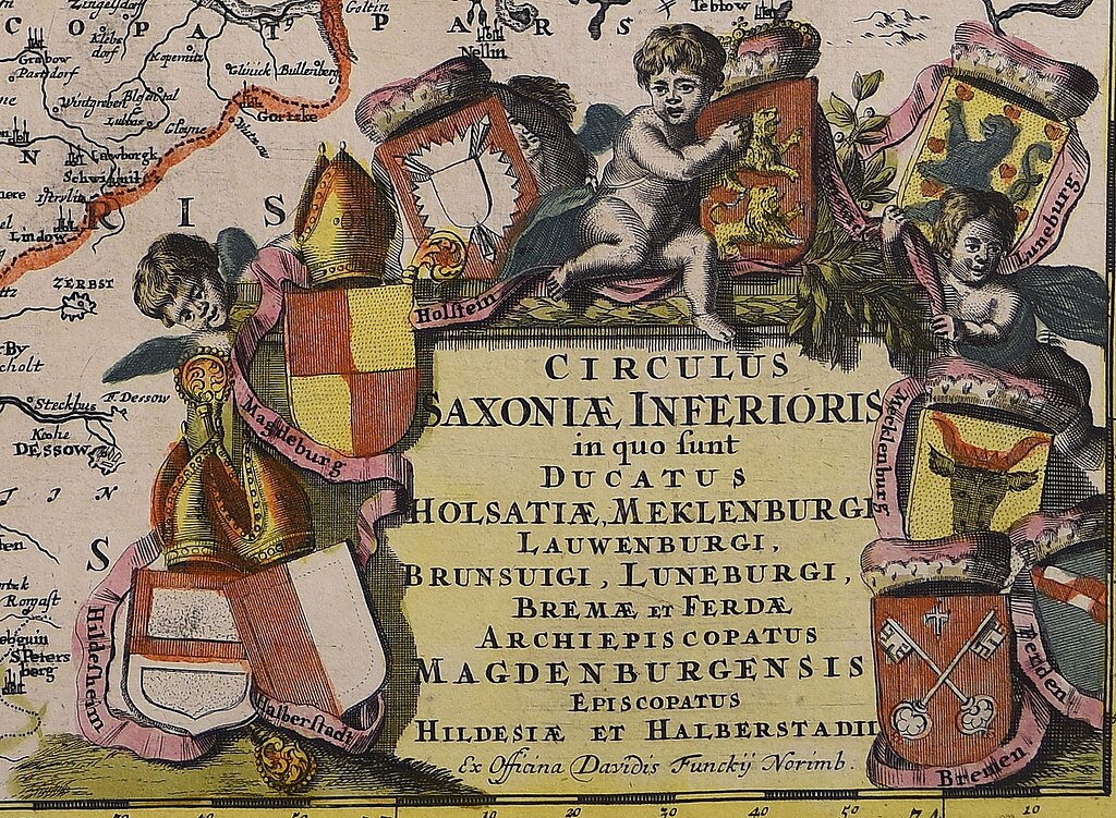
Circulus Saxoniae inferioris : in quo sunt ducatus Holsatiae, Meklenburgi Lauwenburgi, Brunsuigi, Luneburgi, Bremae et Ferdae archiepiscopatus Magdenburgensis episcopatus Hildesiae et Halberstadii |
||||||||||||||||||||
| Date | |||||||||||||||||||||
| Source |
|
||||||||||||||||||||
| Permission (Reusing this file) |
|
||||||||||||||||||||
| Georeferencing | If inappropriate please set warp_status = skip to hide. | ||||||||||||||||||||
| Bibliographic data | |||||||||||||||||||||
| Publisher |
David Funck |
||||||||||||||||||||
| Archival data | |||||||||||||||||||||
| Collection |
|
||||||||||||||||||||
| Accession number |
|
||||||||||||||||||||
| Dimensions | 1 c. geogr. 462x556 mm | ||||||||||||||||||||


File history
Click on a date/time to view the file as it appeared at that time.
| Date/Time | Thumbnail | Dimensions | User | Comment | |
|---|---|---|---|---|---|
| current | 17:50, 28 November 2022 | | 1,644 × 1,205 (1,003 KB) | Enyavar (talk | contribs) | File:Circulus Saxoniae inferioris - CBT 5874008.jpg cropped 71 % horizontally, 75 % vertically using CropTool with precise mode. |
You cannot overwrite this file.
File usage on Commons
The following page uses this file: