File:Cartouche in a Murcia map by López.jpg
Jump to navigation
Jump to search
Size of this preview: 667 × 599 pixels. Other resolutions: 267 × 240 pixels | 534 × 480 pixels | 855 × 768 pixels | 1,139 × 1,024 pixels | 1,768 × 1,589 pixels.
Original file (1,768 × 1,589 pixels, file size: 581 KB, MIME type: image/jpeg)
Captions
Captions
Add a one-line explanation of what this file represents
Summary
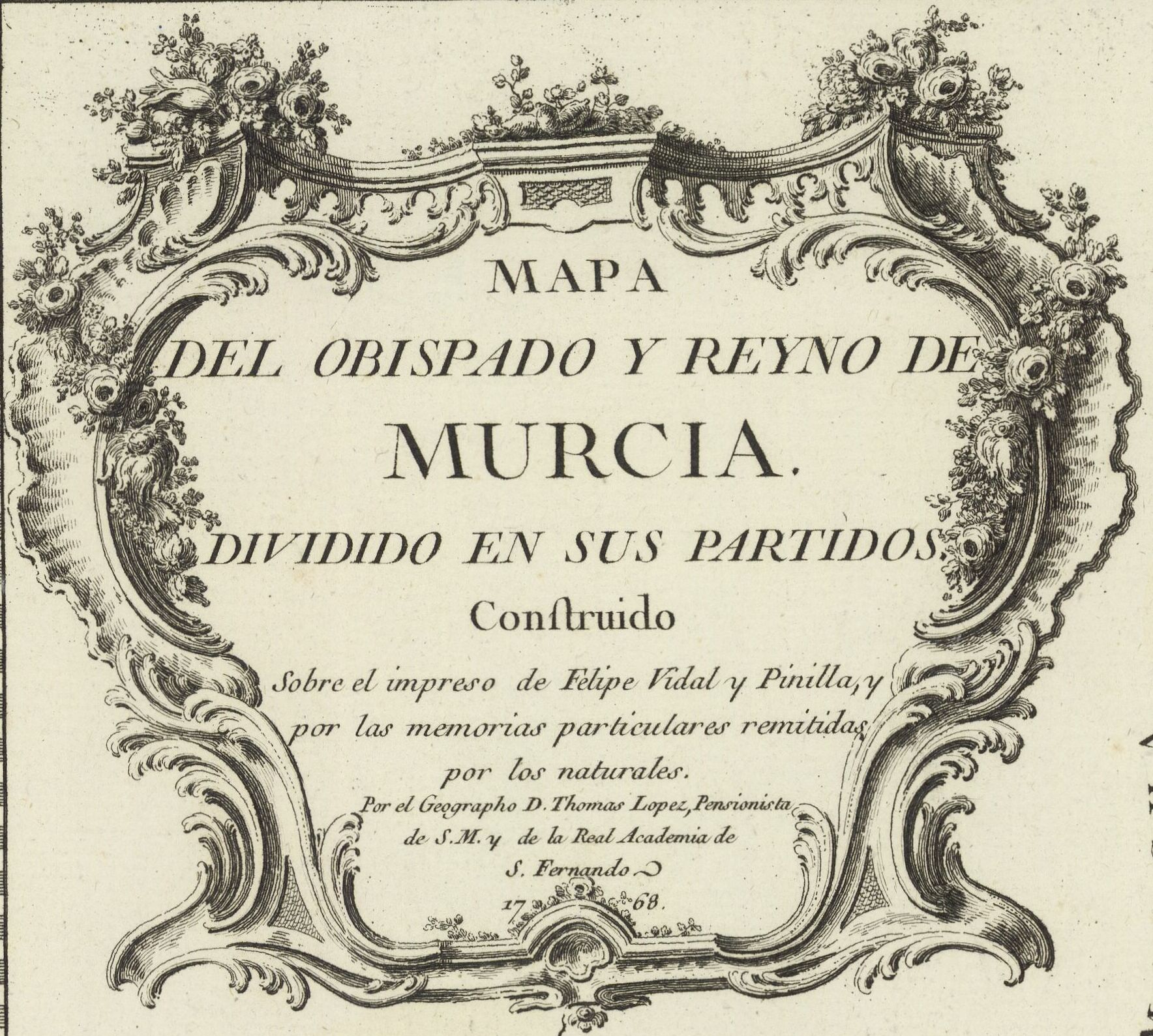
[edit]| Mapa del obiopado y reyno de Murcia, dividido en sus partidos, construido sobre el impreso de Filipe Vidal y, Pinilla... / por... D. Tomas López...
( |
|||||||||||||||||||||||||||
|---|---|---|---|---|---|---|---|---|---|---|---|---|---|---|---|---|---|---|---|---|---|---|---|---|---|---|---|
| Author |
López, Tomás (1730-1802). Cartographe |
||||||||||||||||||||||||||
| Title |
Mapa del obiopado y reyno de Murcia, dividido en sus partidos, construido sobre el impreso de Filipe Vidal y, Pinilla... / por... D. Tomas López... |
||||||||||||||||||||||||||
| Description |
Français : Sujet : Routes
Cartouches (ornement) Murcie, Province de Échelle(s) : 10 Leguas de una hora de camino, o de 20 al Grado [= 8,6 cm] Couverture : Espagne Langue : espagnol Éditeur : [s.n.] (Madrid) |
||||||||||||||||||||||||||
| Date | 1768 | ||||||||||||||||||||||||||
| Dimensions | height: 60 cm (23.6 in); width: 45.5 cm (17.9 in) | ||||||||||||||||||||||||||
| Collection |
|
||||||||||||||||||||||||||
| References |
Français : Notice de recueil : http://catalogue.bnf.fr/ark:/12148/cb41495064m
Appartient à : Collection géographique du marquis de Paulmy ; 636 Notice du catalogue : http://catalogue.bnf.fr/ark:/12148/cb445132638 |
||||||||||||||||||||||||||
| Source/Photographer |
Français : Bibliothèque nationale de France, département Arsenal, EST-1507 (18, 21)
Bibliothèque nationale de France (1/2) |
||||||||||||||||||||||||||
| Permission (Reusing this file) |
|
||||||||||||||||||||||||||
| Other versions | |||||||||||||||||||||||||||

.jpg)
File history
Click on a date/time to view the file as it appeared at that time.
| Date/Time | Thumbnail | Dimensions | User | Comment | |
|---|---|---|---|---|---|
| current | 15:18, 26 August 2023 | | 1,768 × 1,589 (581 KB) | Enyavar (talk | contribs) | File:Mapa del obiopado y reyno de Murcia, dividido en sus partidos, construido sobre el impreso de Filipe Vidal y, Pinilla... - por... D. Tomas López... - btv1b532269822 (1 of 2).jpg cropped 76 % horizontally, 72 % vertically using CropTool with precise mode. |
You cannot overwrite this file.
File usage on Commons
The following 2 pages use this file: