File:Carte tunisie 1902.jpg

Original file (1,231 × 1,739 pixels, file size: 1.85 MB, MIME type: image/jpeg)
Captions
Captions
Summary
[edit]
| Description |
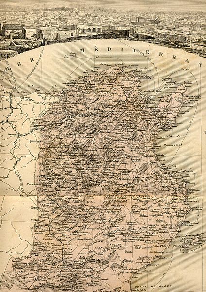
Français : Carte géographique ancienne de la Tunisie par Vuillemin,Thuilier, Lacoste et Lorsignol (Paris 1902).
English: Map of Tunisia by Vuillemin,Thuilier, Lacoste et Lorsignol (Paris 1902). |
| Date | |
| Source | |
| Author | Vuillemin,Thuilier, Lacoste et Lorsignol (reproduit par histoirepostale.net) |
| Camera location | | View this and other nearby images on: OpenStreetMap |
|---|
Licensing
[edit]
This image is in the public domain because it is a mere mechanical scan or photocopy of a public domain original, or – from the available evidence – is so similar to such a scan or photocopy that no copyright protection can be expected to arise. The original itself is in the public domain for the following reason:
This tag is designed for use where there may be a need to assert that any enhancements (eg brightness, contrast, colour-matching, sharpening) are in themselves insufficiently creative to generate a new copyright. It can be used where it is unknown whether any enhancements have been made, as well as when the enhancements are clear but insufficient. For known raw unenhanced scans you can use an appropriate {{PD-old}} tag instead. For usage, see Commons:When to use the PD-scan tag.  | ||||
File history
Click on a date/time to view the file as it appeared at that time.
| Date/Time | Thumbnail | Dimensions | User | Comment | |
|---|---|---|---|---|---|
| current | 13:29, 21 April 2008 | | 1,231 × 1,739 (1.85 MB) | Dlebouc (talk | contribs) | {{Information |Description= |Source= |Date= |Author= |Permission= |other_versions= }} |
| 17:48, 11 January 2008 |  | 1,231 × 1,739 (1.85 MB) | Dlebouc (talk | contribs) | {{Information |Description= {{fr|Carte géographique ancienne de la Tunisie par Vuillemin,Thuilier, Lacoste et Lorsignol.}} {{en|Map of Tunisia by Vuillemin,Thuilier, Lacoste et Lorsignol.}} |Source= {{fr|[http://www.kelibia.fr/histoirepostale/x_azdivers. |
You cannot overwrite this file.
File usage on Commons
The following page uses this file:
File usage on other wikis
The following other wikis use this file:
- Usage on de.wikisource.org
- Usage on en.wikipedia.org
- Usage on es.wikipedia.org
- Usage on fr.wikipedia.org