File:Carte localisation Montréal - Rosemont-La Petite-Patrie.svg
Jump to navigation
Jump to search

Size of this PNG preview of this SVG file: 800 × 511 pixels. Other resolutions: 320 × 205 pixels | 640 × 409 pixels | 1,024 × 654 pixels | 1,280 × 818 pixels | 2,560 × 1,636 pixels | 1,563 × 999 pixels.
Original file (SVG file, nominally 1,563 × 999 pixels, file size: 172 KB)
Captions
Captions
Add a one-line explanation of what this file represents
Summary
[edit]
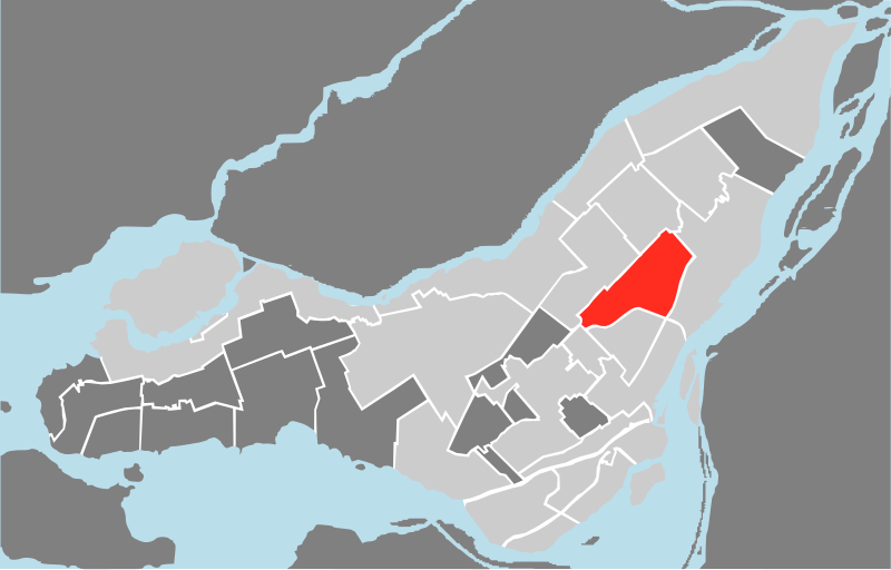
| Description | Localisation de l'arrondissement Rosemont-La Petite-Patrie à Montréal |
| Date | |
| Source | Own work |
| Author | Adqproductions |
| SVG development |
Licensing
[edit]
| I, the copyright holder of this work, release this work into the public domain. This applies worldwide. In some countries this may not be legally possible; if so: I grant anyone the right to use this work for any purpose, without any conditions, unless such conditions are required by law. |
File history
Click on a date/time to view the file as it appeared at that time.
| Date/Time | Thumbnail | Dimensions | User | Comment | |
|---|---|---|---|---|---|
| current | 00:11, 3 September 2009 | | 1,563 × 999 (172 KB) | Adqproductions (talk | contribs) | {{Information |Description=Localisation de l'arrondissement Rosemont-La Petite-Patrie à Montréal |Source=travail personnel |Date= |Author= Adqproductions |Permission= |other_versions= }} Category:Maps of Montreal |
You cannot overwrite this file.
File usage on Commons
The following page uses this file:
File usage on other wikis
The following other wikis use this file:
- Usage on de.wikipedia.org
- Usage on en.wikipedia.org
- Usage on es.wikipedia.org
- Usage on et.wikipedia.org
- Usage on fr.wikipedia.org
- Usage on pl.wikipedia.org
- Usage on pt.wikipedia.org
- Usage on sr.wikipedia.org
- Usage on www.wikidata.org