File:Carte générale de la Nouvelle Hollande. LOC 98687106.jpg
Jump to navigation
Jump to search

Size of this preview: 800 × 556 pixels. Other resolutions: 320 × 222 pixels | 640 × 445 pixels | 1,024 × 712 pixels | 1,280 × 890 pixels | 2,560 × 1,779 pixels | 9,416 × 6,544 pixels.
Original file (9,416 × 6,544 pixels, file size: 10.47 MB, MIME type: image/jpeg)
Captions
Captions
Add a one-line explanation of what this file represents
Summary
[edit]| Description |
English: Available also through the Library of Congress Web site as a raster image. |
||
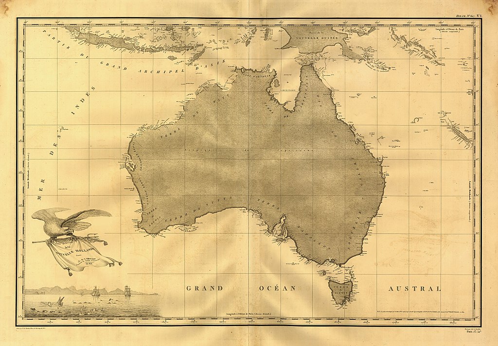
| Title | Carte générale de la Nouvelle Hollande. | ||
| Shelf ID | G8960 1808 .F7 TIL | ||
| Date | |||
| Source | https://www.loc.gov/item/98687106/ | ||
| Author | Freycinet, Louis Claude Desaulses De | ||
| Permission (Reusing this file) |
|
||
| Other versions |
|
||
| Location | Australia | ||
| Part of | American Memory · General Maps · Catalog · Geography And Map Division | ||
| Subject | Maps · Australia |


Licensing
[edit]
|
This is a faithful photographic reproduction of a two-dimensional, public domain work of art. The work of art itself is in the public domain for the following reason:
The official position taken by the Wikimedia Foundation is that "faithful reproductions of two-dimensional public domain works of art are public domain".
This photographic reproduction is therefore also considered to be in the public domain in the United States. In other jurisdictions, re-use of this content may be restricted; see Reuse of PD-Art photographs for details. | ||||
File history
Click on a date/time to view the file as it appeared at that time.
| Date/Time | Thumbnail | Dimensions | User | Comment | |
|---|---|---|---|---|---|
| current | 01:17, 10 June 2018 | | 9,416 × 6,544 (10.47 MB) | Fæ (talk | contribs) | LOC Maps https://www.loc.gov/item/98687106/ #25333 |
You cannot overwrite this file.
File usage on Commons
The following page uses this file: