File:Carte de la Palestine dressée pour l'usage des Collèges 1821 A Paris, (FL36012578 3911555).jpg
Jump to navigation
Jump to search

Size of this preview: 800 × 587 pixels. Other resolutions: 320 × 235 pixels | 640 × 470 pixels | 1,024 × 752 pixels | 1,280 × 940 pixels | 2,560 × 1,880 pixels | 13,201 × 9,694 pixels.
Original file (13,201 × 9,694 pixels, file size: 174.25 MB, MIME type: image/jpeg)
Captions
Captions
Add a one-line explanation of what this file represents
Summary
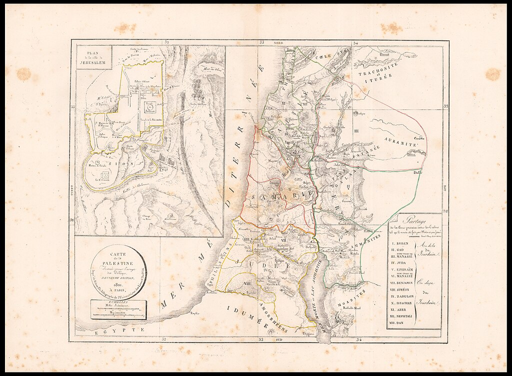
[edit]| Carte de la Palestine dressée pour l'usage des Collèges 1821 A Paris,
( |
||||||||||||||||||||||||
|---|---|---|---|---|---|---|---|---|---|---|---|---|---|---|---|---|---|---|---|---|---|---|---|---|
| Title |
Carte de la Palestine dressée pour l'usage des Collèges 1821 A Paris, |
|||||||||||||||||||||||
| Publisher |
H. Selves |
|||||||||||||||||||||||
| Description |
Carte de la Palestine dressée pour l'usage des Collèges 1821 A Paris,.. |
|||||||||||||||||||||||
| Language | French | |||||||||||||||||||||||
| Publication date | 1821 | |||||||||||||||||||||||
| Medium | 1 online resource (1 map). | |||||||||||||||||||||||
| Collection |
|
|||||||||||||||||||||||
| Current location |
|
|||||||||||||||||||||||
| Place of publication | Paris | |||||||||||||||||||||||
| search Merhav catalog | Paris | |||||||||||||||||||||||
| Notes | Digital image of the original in Amir Cahanovitc Collection, Israel. ACC 69.; From: Atlas dressée pour l'usage des Collèges.; Inset: Plan de la ville de Jérusalem. | |||||||||||||||||||||||
| IE PID | IE36012576 | |||||||||||||||||||||||
| Rosetta filename | FL36012578 | |||||||||||||||||||||||
| NNL item ID (P3959) | 990039115550205171 | |||||||||||||||||||||||
| search Merhav catalog | French | |||||||||||||||||||||||
| search Merhav catalog | Twelve tribes of IsraelMapsH. Selves | |||||||||||||||||||||||
| Source/Photographer |
|
|||||||||||||||||||||||
| Other versions | ||||||||||||||||||||||||
| Jpg / Tif version |
|
|||||||||||||||||||||||

.jpg)

.jpg&action=edit§ion=1)
Licensing
[edit].jpg&action=edit§ion=2)
The copyright situation of this work is theoretically uncertain, because in the country of origin copyright lasts 70 years after the death of the author, and the date of the author's death is unknown. However, the date of creation of the work was over 120 years ago, and it is thus a reasonable assumption that the copyright has expired (see here for the community discussion). Do not use this template if the date of death of the author is known.
| |
| This file has been identified as being free of known restrictions under copyright law, including all related and neighboring rights. | |
File history
Click on a date/time to view the file as it appeared at that time.
| Date/Time | Thumbnail | Dimensions | User | Comment | |
|---|---|---|---|---|---|
| current | 17:06, 25 August 2023 | | 13,201 × 9,694 (174.25 MB) | Geagea (talk | contribs) | pattypan 22.03 |
You cannot overwrite this file.
File usage on Commons
The following page uses this file:
.jpg&oldid=849212530)