File:Carte Mozac communes.svg
Jump to navigation
Jump to search

Size of this PNG preview of this SVG file: 790 × 600 pixels. Other resolutions: 316 × 240 pixels | 632 × 480 pixels | 1,011 × 768 pixels | 1,280 × 972 pixels | 2,560 × 1,944 pixels.
Original file (SVG file, nominally 790 × 600 pixels, file size: 177 KB)
Captions
Captions
Add a one-line explanation of what this file represents
| Description | |
| Date | (UTC) |
| Source | |
| Author |
|
| This is a retouched picture, which means that it has been digitally altered from its original version. Modifications: Vectorisation. The original can be viewed here: Carte Mozac et les communes environnantes.jpg:
|
This W3C-unspecified vector image was created with Inkscape .
I, the copyright holder of this work, hereby publish it under the following license:
| I, the copyright holder of this work, release this work into the public domain. This applies worldwide. In some countries this may not be legally possible; if so: I grant anyone the right to use this work for any purpose, without any conditions, unless such conditions are required by law. |
Original upload log
[edit]
This image is a derivative work of the following images:
- File:Carte_Mozac_et_les_communes_environnantes.jpg licensed with PD-self
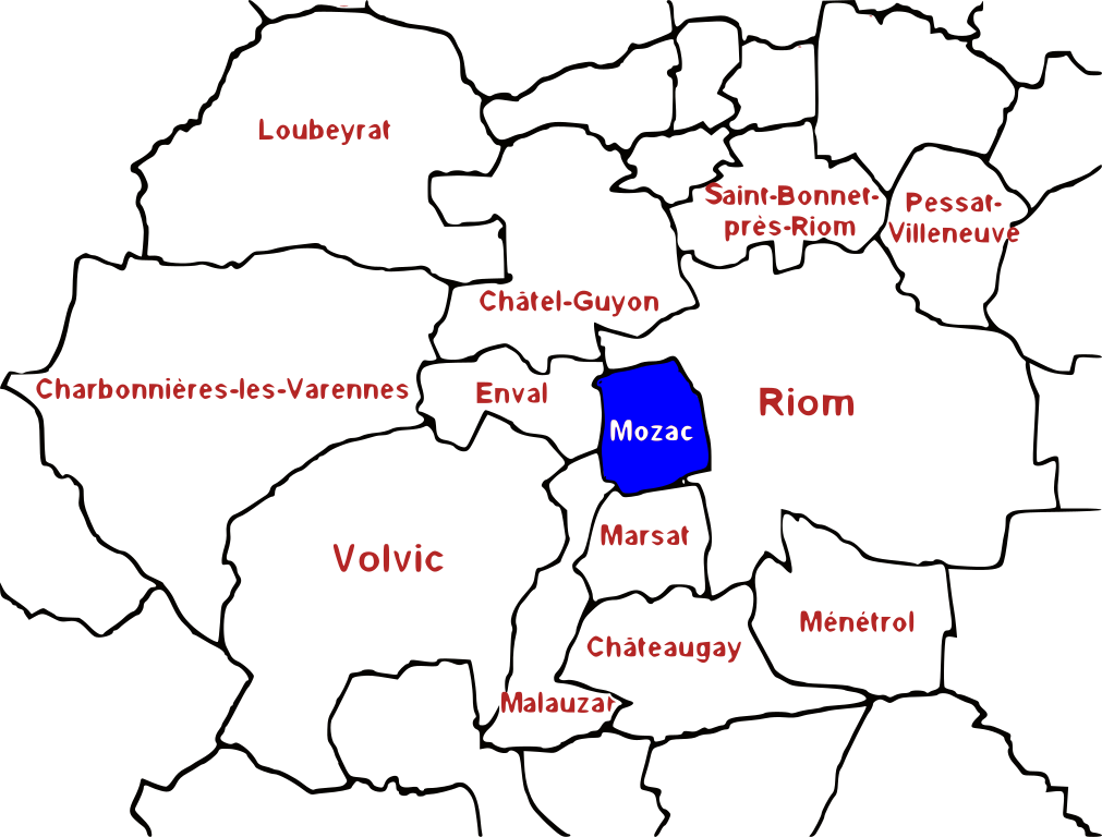
- 2009-02-10T13:42:32Z Matth97 800x600 (248149 Bytes) {{Information |Description={{fr|1=Carte géographique des limites administratives de Mozac et des communes environnantes. D'après les limites des [http://www.cadastre.gouv.fr/ cadastres] et de l'[[http://www.geoportail.fr/ I
Uploaded with derivativeFX
File history
Click on a date/time to view the file as it appeared at that time.
| Date/Time | Thumbnail | Dimensions | User | Comment | |
|---|---|---|---|---|---|
| current | 13:09, 9 March 2009 | | 790 × 600 (177 KB) | Hastati (talk | contribs) | Ajout d'un S disparut |
| 13:01, 9 March 2009 |  | 790 × 600 (175 KB) | Hastati (talk | contribs) | {{Information |Description={{fr|1=Carte géographique des limites administratives de Mozac et des communes environnantes. D'après les limites établies à partir des [http://www.cadastre.gouv.fr/ cadastres] et de l'[http://www.geoportail.fr/ IGN]. Orien |
You cannot overwrite this file.
File usage on Commons
There are no pages that use this file.
File usage on other wikis
The following other wikis use this file:
- Usage on fr.wikipedia.org