File:Carte Mantelot.jpg
Jump to navigation
Jump to search
Size of this preview: 377 × 599 pixels. Other resolutions: 151 × 240 pixels | 302 × 480 pixels | 888 × 1,412 pixels.
Original file (888 × 1,412 pixels, file size: 155 KB, MIME type: image/jpeg)
Captions
Captions
Add a one-line explanation of what this file represents
Summary
[edit]
| Description |
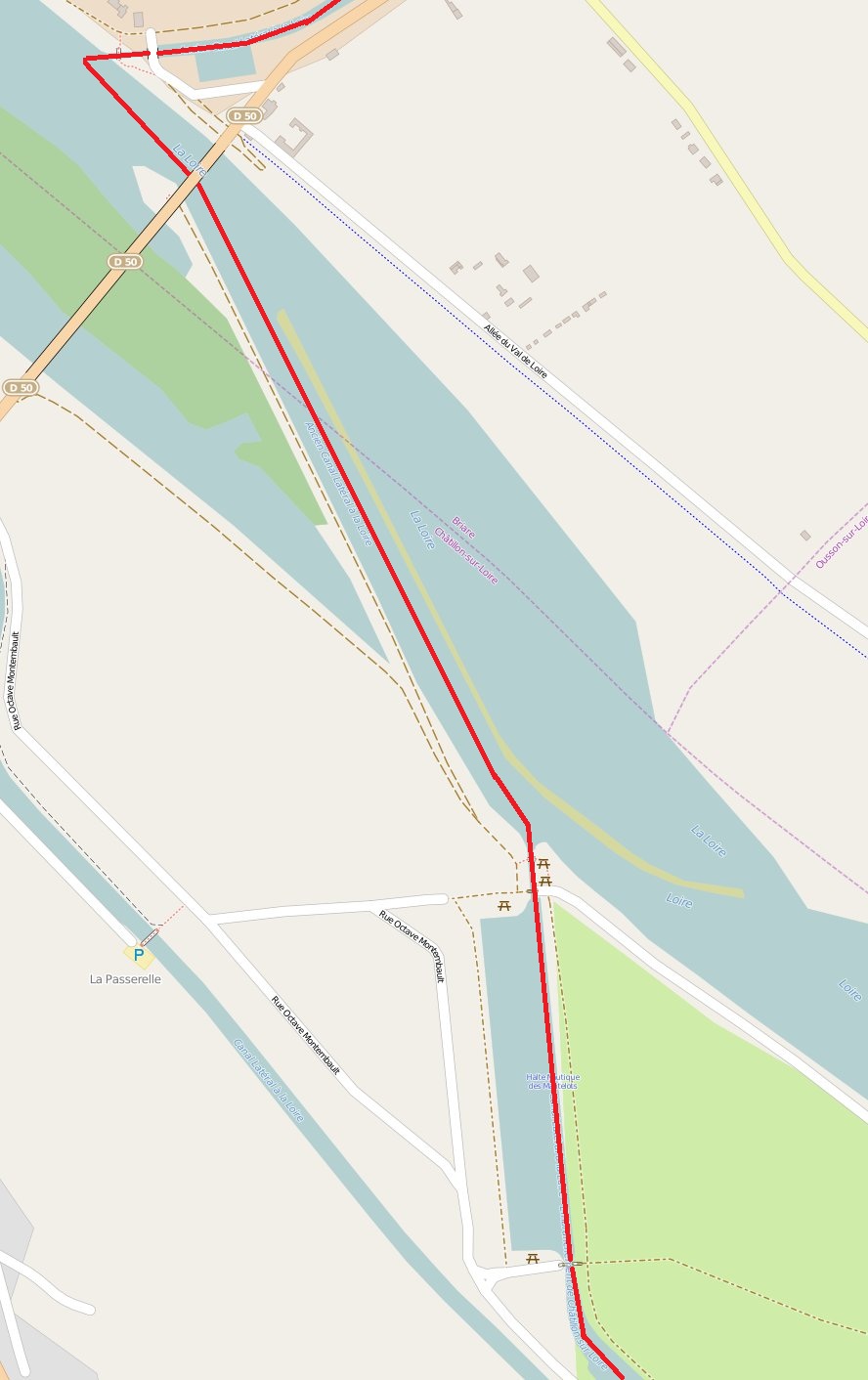
Français : Carte de Mantelot venant de Openstreetmap
Deutsch: Diese Karte zeigt die beiden Sperrzonen sowie die Absperrungen für die Gebäudesprengung vom AfE-Turm am 2. Februar 2014. Diese Informationen stammen aus der Pressemappe vom 21.01.2014 der ABG Frankfurt Holding. |
|||
| Date | ||||
| Source | openstreetmap.org | |||
| Creator |
OpenStreetMap contributors, Bastenbas OpenStreetMap contributors |
|||
| Permission (Reusing this file) |
OpenStreetMap data is available under the Open Database License (details). Map tiles are licensed under the Creative Commons Attribution-ShareAlike 2.0 license (CC-BY-SA 2.0).
This file is licensed under the Creative Commons Attribution-Share Alike 2.0 Generic license.
|
|||
| Georeferencing | If inappropriate please set warp_status = skip to hide. |
| Annotations | This image is annotated: View the annotations at Commons |
File history
Click on a date/time to view the file as it appeared at that time.
| Date/Time | Thumbnail | Dimensions | User | Comment | |
|---|---|---|---|---|---|
| current | 14:11, 9 November 2016 | | 888 × 1,412 (155 KB) | Bastenbas (talk | contribs) | Meilleur tracé de la ligne rouge. |
| 09:14, 11 August 2015 |  | 280 × 445 (25 KB) | Bastenbas (talk | contribs) | Ajout d'une ligne rouge indiquant le trajet des bateaux | |
| 13:56, 26 April 2015 |  | 888 × 1,412 (101 KB) | Bastenbas (talk | contribs) | User created page with UploadWizard |
You cannot overwrite this file.
File usage on Commons
There are no pages that use this file.
File usage on other wikis
The following other wikis use this file:
- Usage on fr.wikipedia.org