File:Carte Arménie geo.svg
Jump to navigation
Jump to search

Size of this PNG preview of this SVG file: 733 × 599 pixels. Other resolutions: 294 × 240 pixels | 587 × 480 pixels | 939 × 768 pixels | 1,253 × 1,024 pixels | 2,505 × 2,048 pixels | 817 × 668 pixels.
Original file (SVG file, nominally 817 × 668 pixels, file size: 127 KB)
Captions
Captions
Add a one-line explanation of what this file represents
Summary
[edit]
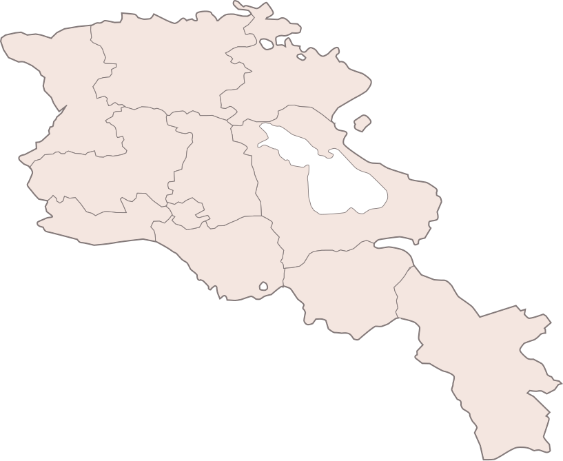
| Description | Carte muette d'Arménie |
| Date | |
| Source | Image:Armenia map numbered.svg |
| Author | user:Bastique |
| Permission (Reusing this file) |
GFLD |
Licensing
[edit]
I, the copyright holder of this work, hereby publish it under the following licenses:

|
Permission is granted to copy, distribute and/or modify this document under the terms of the GNU Free Documentation License, Version 1.2 or any later version published by the Free Software Foundation; with no Invariant Sections, no Front-Cover Texts, and no Back-Cover Texts. A copy of the license is included in the section entitled GNU Free Documentation License. |
| This file is licensed under the Creative Commons Attribution-Share Alike 3.0 Unported license. | ||
| ||
| This licensing tag was added to this file as part of the GFDL licensing update. |
You may select the license of your choice.
File history
Click on a date/time to view the file as it appeared at that time.
| Date/Time | Thumbnail | Dimensions | User | Comment | |
|---|---|---|---|---|---|
| current | 18:16, 14 January 2011 | | 817 × 668 (127 KB) | Varmin (talk | contribs) | Reverted to version as of 10:56, 29 April 2008 |
| 18:05, 14 January 2011 |  | 725 × 740 (75 KB) | Varmin (talk | contribs) | Nouvelle carte, mieux dimensionnée, en concordance avec les autres | |
| 10:56, 29 April 2008 |  | 817 × 668 (127 KB) | Bouarf (talk | contribs) | Changement de couleur de fond pour éviter la similitude avec les cartes du projet «mer et océans» | |
| 19:08, 5 April 2007 |  | 817 × 668 (47 KB) | Céréales Killer (talk | contribs) | ||
| 18:55, 5 April 2007 |  | 756 × 716 (47 KB) | Céréales Killer (talk | contribs) | ||
| 18:47, 5 April 2007 |  | 722 × 736 (47 KB) | Céréales Killer (talk | contribs) | ||
| 12:50, 4 April 2007 |  | 722 × 736 (45 KB) | Céréales Killer (talk | contribs) | ||
| 12:34, 4 April 2007 |  | 722 × 736 (45 KB) | Céréales Killer (talk | contribs) | ||
| 12:29, 4 April 2007 |  | 595 × 842 (45 KB) | Céréales Killer (talk | contribs) | ||
| 12:23, 4 April 2007 |  | 595 × 842 (45 KB) | Céréales Killer (talk | contribs) | {{Information |Description=Carte muette d'Arménie |Source=Image:Armenia map numbered.svg |Date=4 avril 2007 |Author=user:Bastique |Permission=GFLD }} |
You cannot overwrite this file.
File usage on Commons
There are no pages that use this file.