File:Carte-Kiobenhavn-1799.jpg

Original file (2,000 × 1,472 pixels, file size: 719 KB, MIME type: image/jpeg)
Captions
Captions
Summary
[edit]
| Description |
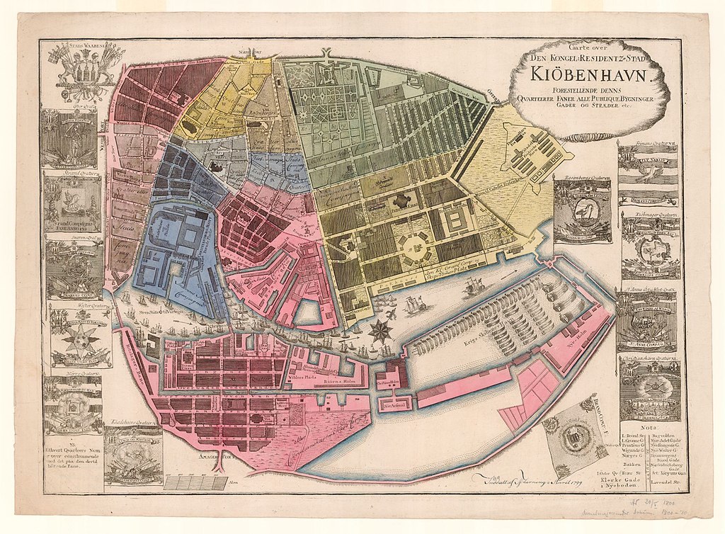
English: Map of Copenhagen with administrative divisions (Tscherning, 1799)
Published under the Public Domain license by Copenhagen City Archive
Dansk: Kort over København med kvarterer (Tscherning, 1799)
Publiceret af Københavns Stadsarkiv under Public Domain licens |
| Date | |
| Source |
Published under Public Domain license by Copenhagen City Archive https://kbhbilleder.dk/kbh-arkiv/90118 |
| Author | Tscherning, 1799 |
Licensing
[edit]
|
This is a faithful photographic reproduction of a two-dimensional, public domain work of art. The work of art itself is in the public domain for the following reason:
The official position taken by the Wikimedia Foundation is that "faithful reproductions of two-dimensional public domain works of art are public domain".
This photographic reproduction is therefore also considered to be in the public domain in the United States. In other jurisdictions, re-use of this content may be restricted; see Reuse of PD-Art photographs for details. | ||||
File history
Click on a date/time to view the file as it appeared at that time.
| Date/Time | Thumbnail | Dimensions | User | Comment | |
|---|---|---|---|---|---|
| current | 12:23, 28 January 2023 | | 2,000 × 1,472 (719 KB) | HRoued (talk | contribs) | Uploaded a work by Tscherning, 1799 from Published under Public Domain license by Copenhagen City Archive https://kbhbilleder.dk/kbh-arkiv/90118 with UploadWizard |
You cannot overwrite this file.
File usage on Commons
There are no pages that use this file.