File:Carrizo Mountains, Arizona (14497130592).jpg
Original file (4,000 × 3,000 pixels, file size: 5.06 MB, MIME type: image/jpeg)
Captions
Captions
Summary
[edit].jpg&action=edit§ion=1)
| Description |
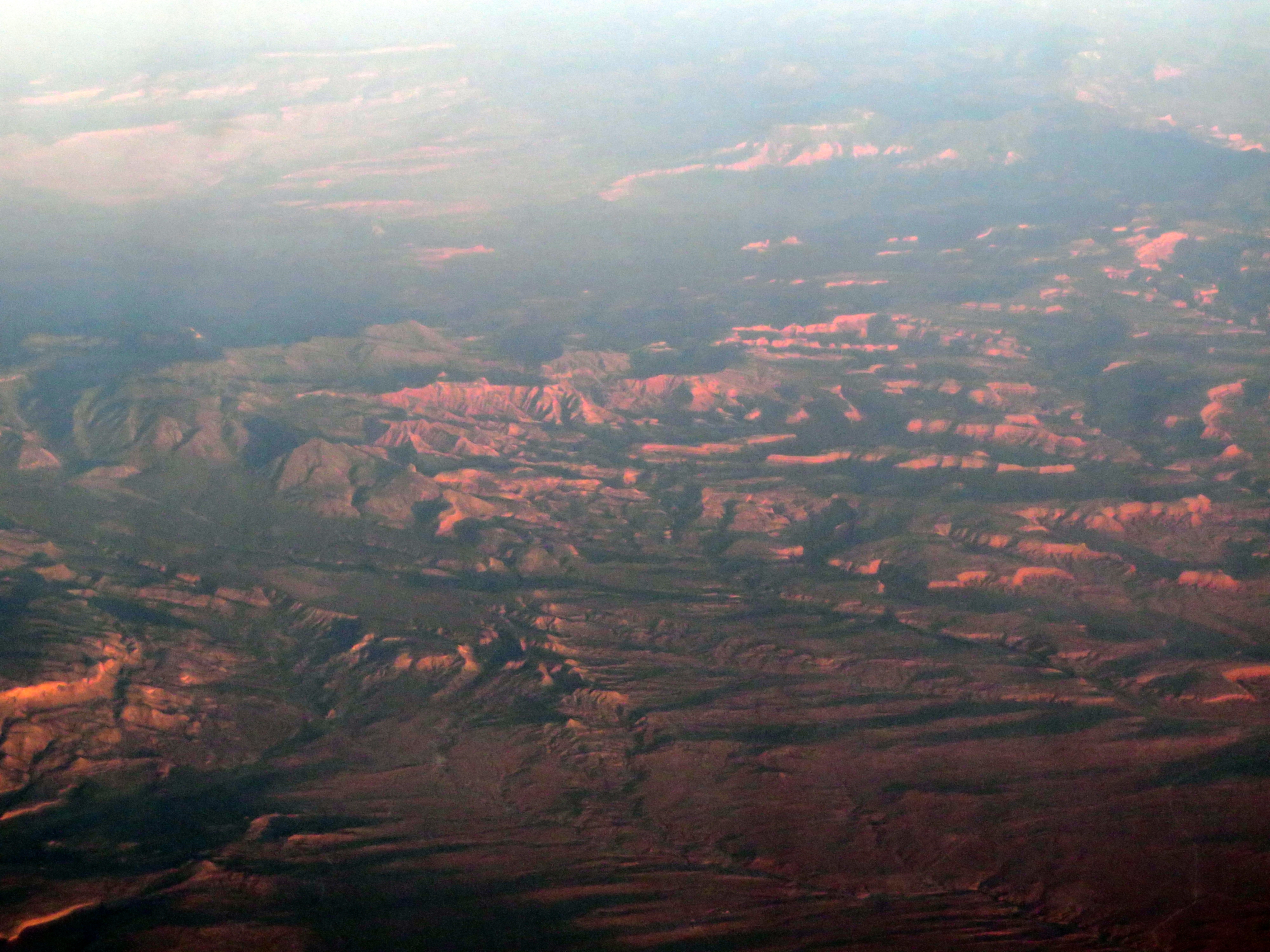
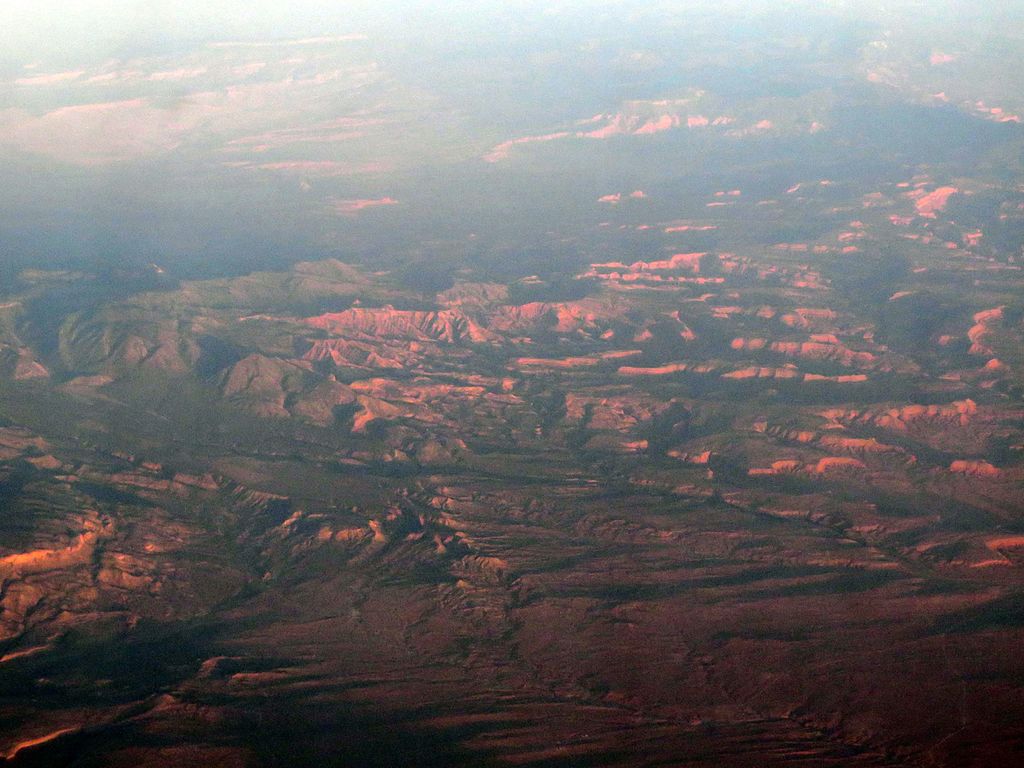
The Carrizo Mountains is a small, mostly circular mountain range 15 to 20 km (9 to 12 miles) in diameter located on the Colorado Plateau in northeastern Arizona. The range is about 20 km (12 mi) southwest of the Four Corners. The highest summit, Pastora Peak, is 2,869 m (9,413 ft) in elevation, whereas elevations on the surrounding plateau are near 1,800 m (5,900 ft). The mountains are within the Navajo Nation. Teec Nos Pos, Arizona, the closest community, is adjacent at the northern foothills, on Teec Nos Pos Wash, from Pastora Peak, about 5-mi miles to the north from the mountain's perimeter; Teec Nos Pos had about 800 inhabitants in the 2000 census. The Carrizo Mountains primarily consist of igneous rocks that intruded Permian through Cretaceous marine strata. The most common igneous rock type is porphyritic hornblende diorite. Intrusive forms include laccoliths, stocks, sills, and dikes. Ages of the igneous rocks range from 70 to 74 million years. Similar igneous-cored ranges of the Colorado Plateau, including the Henry Mountains, Abajo Mountains and La Sal Range, formed ca. 31 to 20 million years ago, making them distinctly younger than the late Cretaceous intrusions of the Carrizo Mountains. Radiometric ages of igneous intrusions in Sleeping Ute Mountain are essentially identical to those of the diorite intrusions in the Carrizos. Both the Carrizo Mountains and Sleeping Ute Mountain are located along the southwest extension of the Colorado Mineral Belt, a 250-mile long lineament characterized by igneous rocks associated with abundant ore deposits. Large ore deposits have not been found in the igneous rocks of the Carrizo Mountains, although small deposits of uranium, vanadium, copper and silver have been found in the sedimentary rocks of the Morrison Formation. en.wikipedia.org/wiki/Carrizo_Mountains en.wikipedia.org/wiki/Wikipedia:Text_of_Creative_Commons_... |
| Date | |
| Source | Carrizo Mountains, Arizona |
| Author | Ken Lund from Reno, Nevada, USA |
| Camera location | | View this and other nearby images on: OpenStreetMap |
|---|
.jpg¶ms=036.810282_N_-109.268948_E_globe:Earth_type:camera_source:Flickr_&language=en)
Licensing
[edit].jpg&action=edit§ion=2)
- You are free:
- to share – to copy, distribute and transmit the work
- to remix – to adapt the work
- Under the following conditions:
- attribution – You must give appropriate credit, provide a link to the license, and indicate if changes were made. You may do so in any reasonable manner, but not in any way that suggests the licensor endorses you or your use.
- share alike – If you remix, transform, or build upon the material, you must distribute your contributions under the same or compatible license as the original.
| This image was originally posted to Flickr by Ken Lund at https://flickr.com/photos/75683070@N00/14497130592. It was reviewed on 4 December 2015 by FlickreviewR and was confirmed to be licensed under the terms of the cc-by-sa-2.0. |
File history
Click on a date/time to view the file as it appeared at that time.
| Date/Time | Thumbnail | Dimensions | User | Comment | |
|---|---|---|---|---|---|
| current | 03:54, 4 December 2015 | | 4,000 × 3,000 (5.06 MB) | INeverCry (talk | contribs) | Transferred from Flickr via Flickr2Commons |
You cannot overwrite this file.
File usage on Commons
There are no pages that use this file.
.jpg&oldid=849089798)