File:Carey Circle, July 2021.jpg
Jump to navigation
Jump to search

Size of this preview: 800 × 600 pixels. Other resolutions: 320 × 240 pixels | 640 × 480 pixels | 1,024 × 768 pixels | 1,280 × 960 pixels | 2,560 × 1,920 pixels | 4,032 × 3,024 pixels.
Original file (4,032 × 3,024 pixels, file size: 5.94 MB, MIME type: image/jpeg)
Captions
Captions
Add a one-line explanation of what this file represents
Summary
[edit]
| Description |
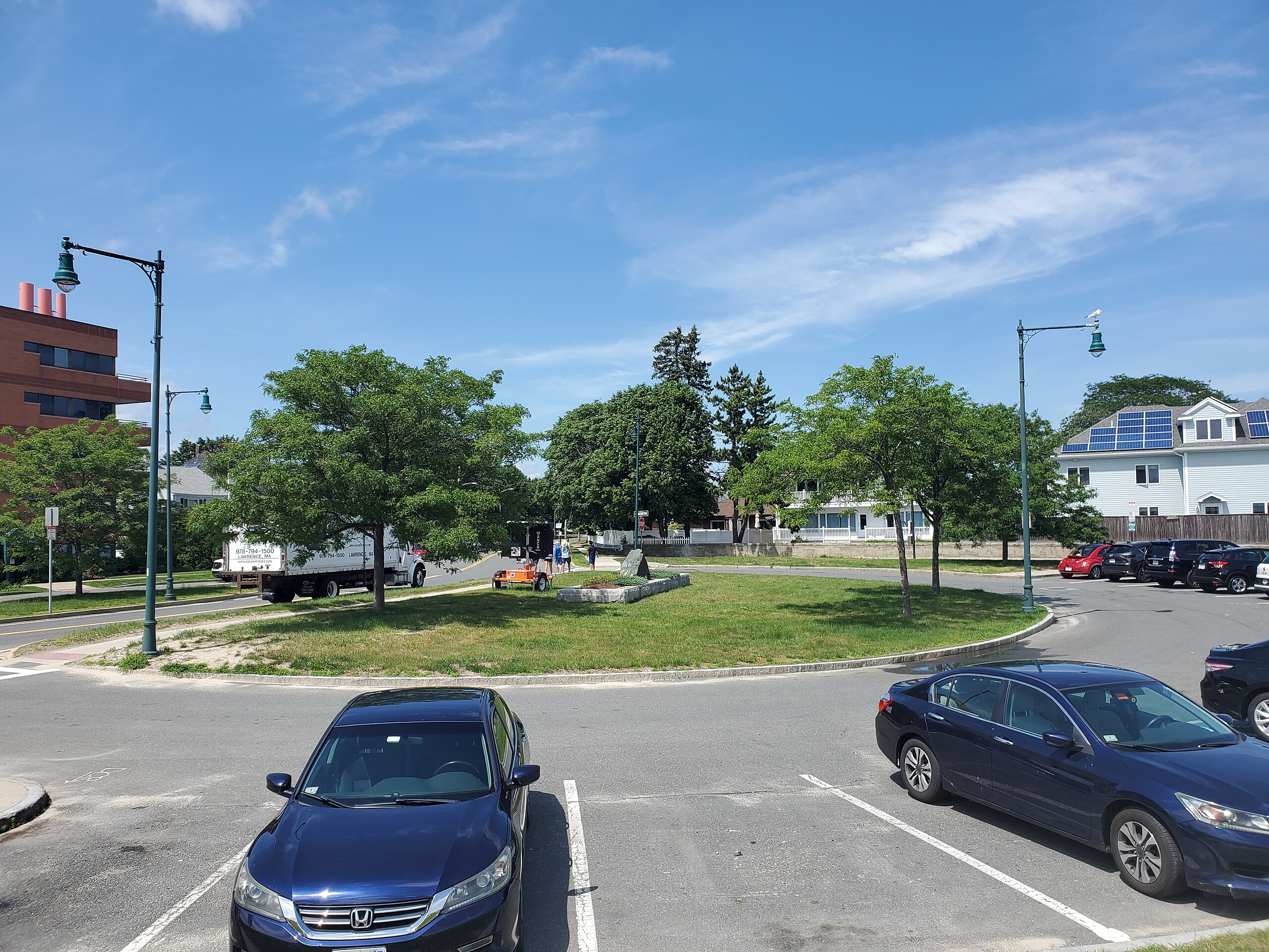
English: Carey Circle on Point of Pines in July 2021. Never used as an actual traffic circle - it connects no streets other than Revere Beach Boulevard/Lynnway - it is now used as a parking lot for the adjacent beach. |
| Date | Taken on 5 July 2021 (according to Exif data) |
| Source | Own work |
| Author | Pi.1415926535 |
| Camera location | | View this and other nearby images on: OpenStreetMap |
|---|
Licensing
[edit]
I, the copyright holder of this work, hereby publish it under the following licenses:
This file is licensed under the Creative Commons Attribution-Share Alike 4.0 International license.
- You are free:
- to share – to copy, distribute and transmit the work
- to remix – to adapt the work
- Under the following conditions:
- attribution – You must give appropriate credit, provide a link to the license, and indicate if changes were made. You may do so in any reasonable manner, but not in any way that suggests the licensor endorses you or your use.
- share alike – If you remix, transform, or build upon the material, you must distribute your contributions under the same or compatible license as the original.

|
Permission is granted to copy, distribute and/or modify this document under the terms of the GNU Free Documentation License, Version 1.2 or any later version published by the Free Software Foundation; with no Invariant Sections, no Front-Cover Texts, and no Back-Cover Texts. A copy of the license is included in the section entitled GNU Free Documentation License. |
You may select the license of your choice.
File history
Click on a date/time to view the file as it appeared at that time.
| Date/Time | Thumbnail | Dimensions | User | Comment | |
|---|---|---|---|---|---|
| current | 03:11, 2 November 2021 | | 4,032 × 3,024 (5.94 MB) | Pi.1415926535 (talk | contribs) | == {{int:filedesc}} == {{Information |Description ={{en|1=Carey Circle on Point of Pines in July 2021. Never used as an actual traffic circle - it connects no streets other than Revere Beach Boulevard/Lynnway - it is now used as a parking lot for the adjacent beach.}} |Source ={{own}} |Author =Pi.1415926535 |Date ={{taken on|2021-07-}} |Permission = |other_versions = }} {{Location|42.435588|-70.969271|heading:N}} == {{int:license-header... |
You cannot overwrite this file.
File usage on Commons
There are no pages that use this file.