File:Cape Tryon Lighthouse.jpg
Original file (5,472 × 3,648 pixels, file size: 18.86 MB, MIME type: image/jpeg)
Captions
Summary
[edit]DescriptionCape Tryon Lighthouse.jpg | |
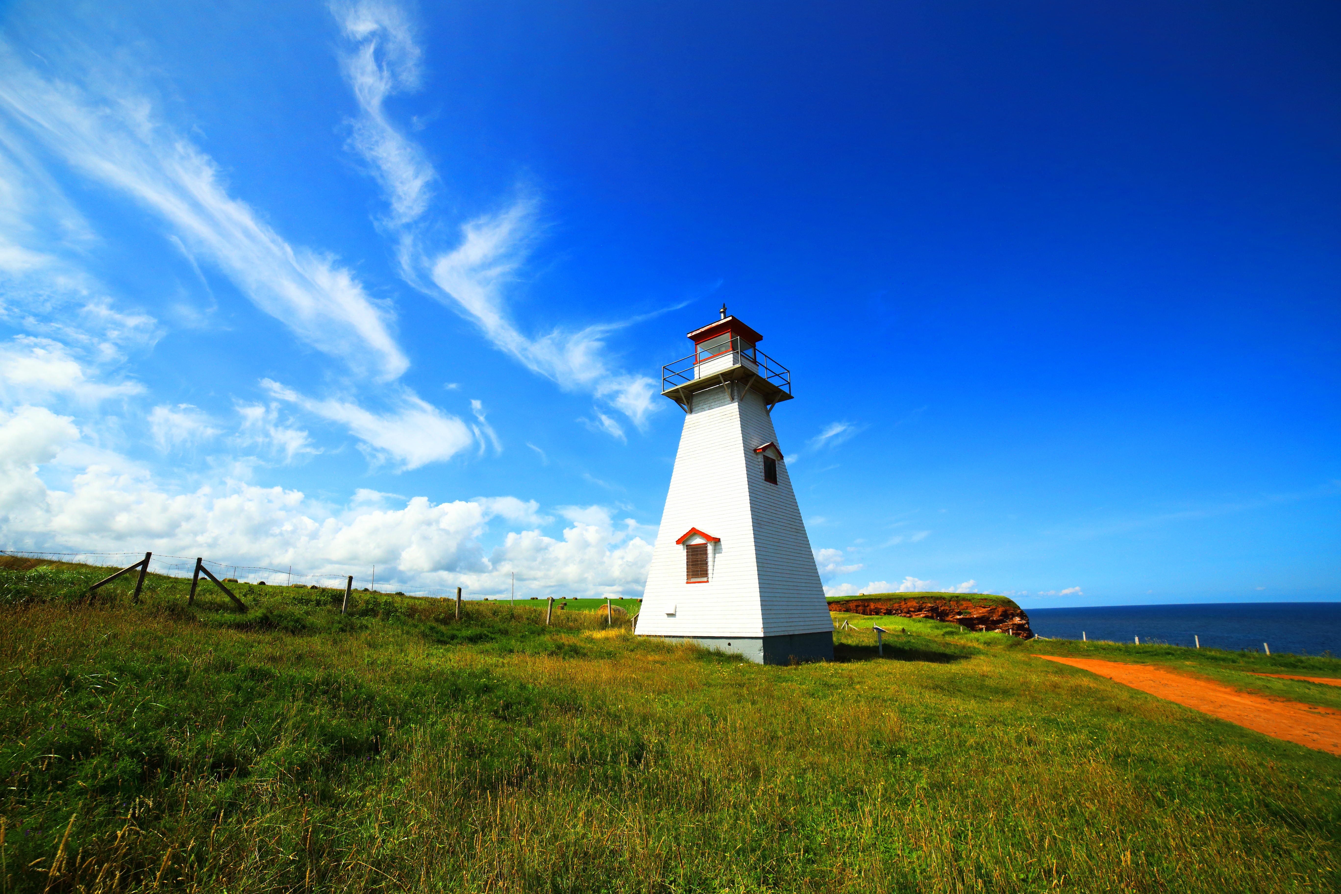
This photo is of a cultural heritage site in Canada, number 21614
|
|
Date | Taken on 20 August 2018, 10:39:51 |
Source | Own work |
Author | William Li |
Camera location | 46° 32′ 02.56″ N, 63° 30′ 21.08″ W | View this and other nearby images on: OpenStreetMap | 46.534045; -63.505855 |
---|
Licensing
[edit]- You are free:
- to share – to copy, distribute and transmit the work
- to remix – to adapt the work
- Under the following conditions:
- attribution – You must give appropriate credit, provide a link to the license, and indicate if changes were made. You may do so in any reasonable manner, but not in any way that suggests the licensor endorses you or your use.
- share alike – If you remix, transform, or build upon the material, you must distribute your contributions under the same or compatible license as the original.
This image was uploaded as part of Wiki Loves Monuments 2019.
Afrikaans ∙ Alemannisch ∙ العربية ∙ جازايرية ∙ azərbaycanca ∙ Bikol Central ∙ беларуская ∙ беларуская (тарашкевіца) ∙ български ∙ বাংলা ∙ brezhoneg ∙ bosanski ∙ català ∙ čeština ∙ Cymraeg ∙ dansk ∙ Deutsch ∙ Zazaki ∙ Ελληνικά ∙ English ∙ Esperanto ∙ español ∙ eesti ∙ euskara ∙ فارسی ∙ suomi ∙ français ∙ Frysk ∙ Gaeilge ∙ galego ∙ עברית ∙ हिन्दी ∙ hrvatski ∙ magyar ∙ հայերեն ∙ Bahasa Indonesia ∙ Ido ∙ italiano ∙ 日本語 ∙ ქართული ∙ 한국어 ∙ кыргызча ∙ Lëtzebuergesch ∙ latviešu ∙ Malagasy ∙ македонски ∙ മലയാളം ∙ Bahasa Melayu ∙ Malti ∙ norsk bokmål ∙ नेपाली ∙ Nederlands ∙ norsk nynorsk ∙ norsk ∙ polski ∙ português ∙ português do Brasil ∙ română ∙ русский ∙ sicilianu ∙ davvisámegiella ∙ slovenčina ∙ slovenščina ∙ shqip ∙ српски / srpski ∙ svenska ∙ ไทย ∙ Tagalog ∙ Türkçe ∙ українська ∙ اردو ∙ oʻzbekcha / ўзбекча ∙ Yorùbá ∙ 中文 ∙ 中文(中国大陆) ∙ 中文(简体) ∙ 中文(繁體) ∙ 中文(香港) ∙ 中文(臺灣) ∙ +/− |
This image was awarded with the 1st prize in the national contest of Canada in Wiki Loves Monuments 2019 Other languages:
العربية | беларуская (тарашкевіца) | বাংলা | Deutsch | English | British English | español | français | hrvatski | italiano | ქართული | македонски | norsk (bokmål) | norsk (nynorsk) | português do Brasil | русский | slovenščina | svenska | українська | +/− |
File history
Click on a date/time to view the file as it appeared at that time.
Date/Time | Thumbnail | Dimensions | User | Comment | |
---|---|---|---|---|---|
current | 05:06, 3 September 2019 | 5,472 × 3,648 (18.86 MB) | Williamli9300 (talk | contribs) | User created page with UploadWizard |
You cannot overwrite this file.
File usage on Commons
The following page uses this file:
File usage on other wikis
The following other wikis use this file:
- Usage on ca.wikimedia.org
- Usage on da.wikipedia.org
- Usage on en.wikipedia.org
Metadata
This file contains additional information such as Exif metadata which may have been added by the digital camera, scanner, or software program used to create or digitize it. If the file has been modified from its original state, some details such as the timestamp may not fully reflect those of the original file. The timestamp is only as accurate as the clock in the camera, and it may be completely wrong.
Camera manufacturer | Canon |
---|---|
Camera model | Canon EOS 6D |
Author | William Li IG @will.li.photos |
Exposure time | 1/3,200 sec (0.0003125) |
F-number | f/8 |
ISO speed rating | 1,000 |
Date and time of data generation | 10:39, 20 August 2018 |
Lens focal length | 14 mm |
Latitude | 46° 32′ 2.56″ N |
Longitude | 63° 30′ 21.08″ W |
Altitude | 21.1 meters above sea level |
Orientation | Normal |
Horizontal resolution | 350 dpi |
Vertical resolution | 350 dpi |
Software used | Digital Photo Professional |
File change date and time | 10:39, 20 August 2018 |
Y and C positioning | Centered |
Exposure Program | Manual |
Exif version | 2.3 |
Date and time of digitizing | 10:39, 20 August 2018 |
Meaning of each component |
|
APEX shutter speed | 11.625 |
APEX aperture | 6 |
APEX exposure bias | 0 |
Metering mode | Partial |
Flash | Flash did not fire, compulsory flash suppression |
DateTime subseconds | 19 |
DateTimeOriginal subseconds | 19 |
DateTimeDigitized subseconds | 19 |
Supported Flashpix version | 1 |
Color space | sRGB |
Focal plane X resolution | 3,810.5849582173 |
Focal plane Y resolution | 3,815.89958159 |
Focal plane resolution unit | inches |
Custom image processing | Normal process |
Exposure mode | Manual exposure |
White balance | Manual white balance |
Scene capture type | Standard |
GPS time (atomic clock) | 14:37 |
Satellites used for measurement | 11 |
Receiver status | Measurement in progress |
Measurement mode | 3-dimensional measurement |
Measurement precision | Poor (10.2) |
Geodetic survey data used | WGS-84 |
GPS date | 20 August 2018 |
GPS tag version | 0.0.3.2 |
Rating (out of 5) | 0 |
Structured data
Items portrayed in this file
depicts
46°32'2.562"N, 63°30'21.078"W
20 August 2018
0.0003125 second
14 millimetre
1,000
image/jpeg
1d76542cc92ff5dc3f70b509eccd074d844e26fb
19,772,053 byte
3,648 pixel
5,472 pixel
- Heritage properties in Canada with known IDs
- Canada photographs taken on 2018-08-20
- CC-BY-SA-4.0
- Self-published work
- Images from Wiki Loves Monuments 2019
- Images from Wiki Loves Monuments 2019 in Canada
- Winners of Wiki Loves Monuments 2019 in Canada
- Nominated pictures for Wiki Loves Monuments International
- Uploaded via Campaign:wlm-ca