File:Cape1910Map.svg
Jump to navigation
Jump to search

Size of this PNG preview of this SVG file: 725 × 600 pixels. Other resolutions: 290 × 240 pixels | 581 × 480 pixels | 929 × 768 pixels | 1,238 × 1,024 pixels | 2,477 × 2,048 pixels | 1,000 × 827 pixels.
Original file (SVG file, nominally 1,000 × 827 pixels, file size: 57 KB)
Captions
Captions
Add a one-line explanation of what this file represents
Summary
[edit]
| Description |
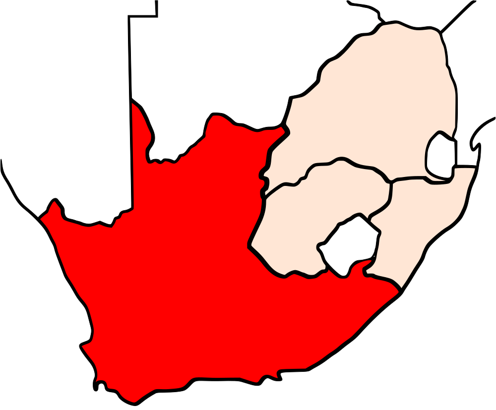
English: Cape Province in 1910 |
| Date | |
| Source | Own work by the original uploader |
| Author | Aricci526 at English Wikipedia |
Licensing
[edit]
| |
This work has been released into the public domain by its author, Aricci526, at the English Wikipedia project. This applies worldwide. In case this is not legally possible: |
Original upload log
[edit]
The original description page was here. All following user names refer to en.wikipedia.
| Date/Time | Dimensions | User | Comment |
|---|---|---|---|
| 2010-04-03 06:40 | 1000×827× (58810 bytes) | Aricci526 | {{Information |Description = Cape Province Map |Source = I (~~~) created this work entirely by myself. |Date = ~~~~~ |Author = ~~~ |other_versions = }} |
File history
Click on a date/time to view the file as it appeared at that time.
| Date/Time | Thumbnail | Dimensions | User | Comment | |
|---|---|---|---|---|---|
| current | 03:37, 19 August 2015 | | 1,000 × 827 (57 KB) | Innotata (talk | contribs) | Transferred from en.wikipedia |
You cannot overwrite this file.
File usage on Commons
There are no pages that use this file.
File usage on other wikis
The following other wikis use this file:
- Usage on en.wikipedia.org