File:Cap tourmente map names.jpg
Jump to navigation
Jump to search
Size of this preview: 789 × 599 pixels. Other resolutions: 316 × 240 pixels | 632 × 480 pixels | 973 × 739 pixels.
Original file (973 × 739 pixels, file size: 137 KB, MIME type: image/jpeg)
Captions
Captions
Add a one-line explanation of what this file represents
Summary
[edit]
| Description |
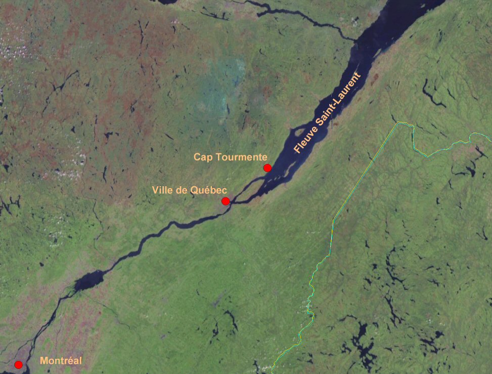
English: Cap Tourmente localization in the Province of Quebec.
Français : Localisation du Cap Tourmente dans la province de Québec. |
| Date | 11 April 2007 (upload date) |
| Source | Satellite imagery taken from NASA World Wind software (by screenshot). Then names added. |
| Author | NASA |
Licensing
[edit]
| This image is in the public domain because it is a screenshot from NASA’s globe software World Wind using a public domain layer, such as Blue Marble, MODIS, Landsat, SRTM, USGS or GLOBE.
|
 |
File history
Click on a date/time to view the file as it appeared at that time.
| Date/Time | Thumbnail | Dimensions | User | Comment | |
|---|---|---|---|---|---|
| current | 16:50, 11 April 2007 | | 973 × 739 (137 KB) | Boréal (talk | contribs) | == Summary == {{PD-WorldWind}} {{en}} Cap Tourmente localization in the Province of Quebec {{fr}}Localisation du Cap Tourmente dans la province de Québec == Licensing == {{PD-USGov-NASA}} Made from a worldwind map with names added by myself. [[Categ |
You cannot overwrite this file.
File usage on Commons
There are no pages that use this file.
File usage on other wikis
The following other wikis use this file:
- Usage on nds.wikipedia.org