File:Cantons de l'Aude 2015.svg
Jump to navigation
Jump to search

Size of this PNG preview of this SVG file: 800 × 573 pixels. Other resolutions: 320 × 229 pixels | 640 × 458 pixels | 1,024 × 733 pixels | 1,280 × 916 pixels | 2,560 × 1,832 pixels | 936 × 670 pixels.
Original file (SVG file, nominally 936 × 670 pixels, file size: 392 KB)
Captions
Captions
Add a one-line explanation of what this file represents
Summary
[edit]
| Description |
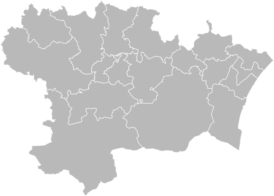
Français : Carte vierge des cantons de l'Aude, après le redécoupage de 2014. D'après données Open Street Map.
English: Blank map of cantons of Aude, after 2014 redistribution. Based on Open Street Map data. |
| Date | |
| Source | Own work |
| Author | Pymouss |
Licensing
[edit]
I, the copyright holder of this work, hereby publish it under the following license:
This file is licensed under the Creative Commons Attribution-Share Alike 4.0 International license.
- You are free:
- to share – to copy, distribute and transmit the work
- to remix – to adapt the work
- Under the following conditions:
- attribution – You must give appropriate credit, provide a link to the license, and indicate if changes were made. You may do so in any reasonable manner, but not in any way that suggests the licensor endorses you or your use.
- share alike – If you remix, transform, or build upon the material, you must distribute your contributions under the same or compatible license as the original.
File history
Click on a date/time to view the file as it appeared at that time.
| Date/Time | Thumbnail | Dimensions | User | Comment | |
|---|---|---|---|---|---|
| current | 00:58, 12 March 2016 | | 936 × 670 (392 KB) | Pymouss (talk | contribs) | =={{int:filedesc}}== {{Information |description={{fr|1=Carte vierge des cantons de l'Aude, après le redécoupage de 2014. D'après données Open Street Map.}} {{en|1=Blank map of cantons of Aude, after 2014 redistribution. Based on Open Street Map dat... |
You cannot overwrite this file.
File usage on Commons
The following 19 pages use this file:
- File:Aude - Canton Carcassonne-1 2015.svg
- File:Aude - Canton Carcassonne-2 2015.svg
- File:Aude - Canton Carcassonne-3 2015.svg
- File:Aude - Canton La Haute-Vallée de l'Aude 2015.svg
- File:Aude - Canton La Malepère à la Montagne Noire 2015.svg
- File:Aude - Canton La Montagne d'Alaric 2015.svg
- File:Aude - Canton La Piège au Razès 2015.svg
- File:Aude - Canton La Région Limouxine 2015.svg
- File:Aude - Canton La Vallée de l'Orbiel 2015.svg
- File:Aude - Canton Le Bassin chaurien 2015.svg
- File:Aude - Canton Le Haut-Minervois 2015.svg
- File:Aude - Canton Le Lézignanais 2015.svg
- File:Aude - Canton Le Sud-Minervois 2015.svg
- File:Aude - Canton Les Basses Plaines de l'Aude 2015.svg
- File:Aude - Canton Les Corbières 2015.svg
- File:Aude - Canton Les Corbières maritimes 2015.svg
- File:Aude - Canton Narbonne-1 2015.svg
- File:Aude - Canton Narbonne-2 2015.svg
- File:Aude - Canton Narbonne-3 2015.svg