File:Cantons de Loir-et-Cher 2015.svg
Jump to navigation
Jump to search

Size of this PNG preview of this SVG file: 708 × 600 pixels. Other resolutions: 283 × 240 pixels | 567 × 480 pixels | 906 × 768 pixels | 1,208 × 1,024 pixels | 2,417 × 2,048 pixels | 793 × 672 pixels.
Original file (SVG file, nominally 793 × 672 pixels, file size: 383 KB)
Captions
Captions
Add a one-line explanation of what this file represents
Summary
[edit]
| Description |
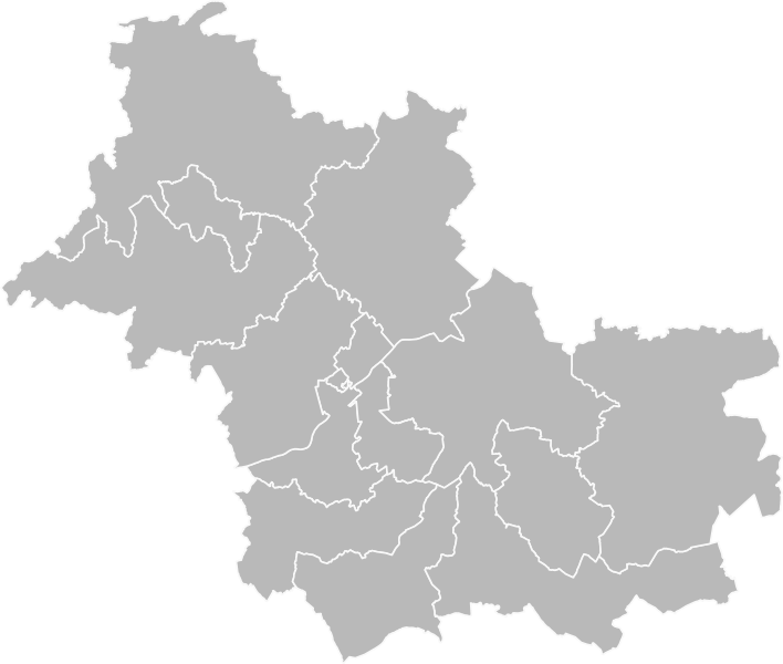
Français : Carte vierge des cantons de Loir-et-Cher, après le redécoupage de 2014. D'après données Open Street Map.
English: Blank map of cantons of Loir-et-Cher department, after 2014 redistribution. Based on Open Street Map data. |
| Date | |
| Source | Own work |
| Author | Pymouss |
Licensing
[edit]
I, the copyright holder of this work, hereby publish it under the following license:
This file is licensed under the Creative Commons Attribution-Share Alike 4.0 International license.
- You are free:
- to share – to copy, distribute and transmit the work
- to remix – to adapt the work
- Under the following conditions:
- attribution – You must give appropriate credit, provide a link to the license, and indicate if changes were made. You may do so in any reasonable manner, but not in any way that suggests the licensor endorses you or your use.
- share alike – If you remix, transform, or build upon the material, you must distribute your contributions under the same or compatible license as the original.
File history
Click on a date/time to view the file as it appeared at that time.
| Date/Time | Thumbnail | Dimensions | User | Comment | |
|---|---|---|---|---|---|
| current | 22:17, 17 April 2016 | | 793 × 672 (383 KB) | Pymouss (talk | contribs) | =={{int:filedesc}}== {{Information |description={{fr|1=Carte vierge des cantons de Loir-et-Cher, après le redécoupage de 2014. D'après données Open Street Map.}} {{en|1=Blank map of cantons of Loir-et-Cher department, after 2014 redistribution. Bas... |
You cannot overwrite this file.
File usage on Commons
The following 15 pages use this file:
- File:Loir-et-Cher - Canton Blois-1 2015.svg
- File:Loir-et-Cher - Canton Blois-2 2015.svg
- File:Loir-et-Cher - Canton Blois-3 2015.svg
- File:Loir-et-Cher - Canton Chambord 2015.svg
- File:Loir-et-Cher - Canton Montoire-sur-le-Loir 2015.svg
- File:Loir-et-Cher - Canton Montrichard 2015.svg
- File:Loir-et-Cher - Canton Onzain 2015.svg
- File:Loir-et-Cher - Canton Romorantin-Lanthenay 2015.svg
- File:Loir-et-Cher - Canton Saint-Aignan 2015.svg
- File:Loir-et-Cher - Canton Selles-sur-Cher 2015.svg
- File:Loir-et-Cher - Canton Vendôme 2015.svg
- File:Loir-et-Cher - Canton Vineuil 2015.svg
- File:Loir-et-Cher - Canton la Beauce 2015.svg
- File:Loir-et-Cher - Canton la Sologne 2015.svg
- File:Loir-et-Cher - Canton le Perche 2015.svg