File:Canalised Stour by Brantham Mill - geograph.org.uk - 362695.jpg
Jump to navigation
Jump to search
No higher resolution available.
Canalised_Stour_by_Brantham_Mill_-_geograph.org.uk_-_362695.jpg (640 × 430 pixels, file size: 132 KB, MIME type: image/jpeg)
Captions
Captions
Add a one-line explanation of what this file represents
Summary
[edit]| Description |
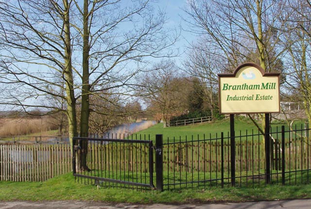
English: Canalised Stour by Brantham Mill The River Stour Navigation at Brantham runs parallel to the upper tidal reaches of the river and was constructed in the 18th century to allow the river to be navigable at all stages of the tide. The canalised stretch runs from Cattawade to Flatford Mill |
||
| Date | |||
| Source | From geograph.org.uk | ||
| Author | Liz McCabe | ||
| Permission (Reusing this file) |
This file is licensed under the Creative Commons Attribution-Share Alike 2.0 Generic license. Attribution: Liz McCabe
|
||
| Attribution (required by the license) | Liz McCabe / Canalised Stour by Brantham Mill / | ||

| Camera location | | View this and other nearby images on: OpenStreetMap |
|---|
_heading:270.00&language=en)
| Object location | | View this and other nearby images on: OpenStreetMap |
|---|
_heading:270.00&language=en)
- Remove redundant categories and try to put this image in the most specific category/categories
- Remove this template
- The location categories are based on information from this geonames tool and this OpenStreetMap tool combined with a database. You can also have a look at this tool from mysociety.
- The topic category from Geograph was Canal (find similar images at Geograph)
File history
Click on a date/time to view the file as it appeared at that time.
| Date/Time | Thumbnail | Dimensions | User | Comment | |
|---|---|---|---|---|---|
| current | 16:50, 4 January 2011 | | 640 × 430 (132 KB) | GeographBot (talk | contribs) | == {{int:filedesc}} == {{Information |description={{en|1=Canalised Stour by Brantham Mill The River Stour Navigation at Brantham runs parallel to the upper tidal reaches of the river and was constructed in the 18th century to allow the river to be navigab |
You cannot overwrite this file.
File usage on Commons
There are no pages that use this file.