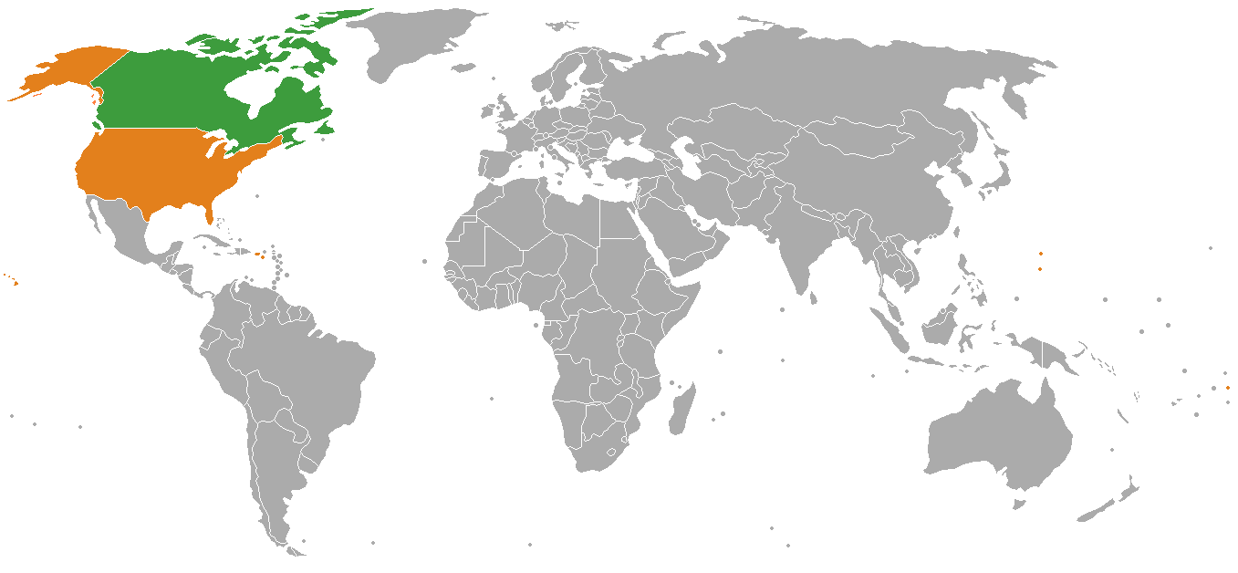
File:Canada USA Locator.png
Jump to navigation
Jump to search
Size of this preview: 800 × 370 pixels. Other resolutions: 320 × 148 pixels | 640 × 296 pixels | 1,357 × 628 pixels.
Original file (1,357 × 628 pixels, file size: 28 KB, MIME type: image/png)
Captions
Captions
Add a one-line explanation of what this file represents

|
File:Canada USA Locator.svg is a vector version of this file. It should be used in place of this PNG file when not inferior.
File:Canada USA Locator.png → File:Canada USA Locator.svg
For more information, see Help:SVG. |
 |
Summary
[edit]
Licensing
[edit]
| I, the copyright holder of this work, release this work into the public domain. This applies worldwide. In some countries this may not be legally possible; if so: I grant anyone the right to use this work for any purpose, without any conditions, unless such conditions are required by law. |
derivative works
[edit]
Derivative works of this file: Holy See Malaysia Locator.png
File history
Click on a date/time to view the file as it appeared at that time.
| Date/Time | Thumbnail | Dimensions | User | Comment | |
|---|---|---|---|---|---|
| current | 02:32, 12 November 2007 | | 1,357 × 628 (28 KB) | El Cid (talk | contribs) | Reverted to version as of 18:44, 17 August 2006 |
| 02:30, 12 November 2007 |  | 1,357 × 628 (29 KB) | El Cid (talk | contribs) | World map: Canada-United States (location) | |
| 18:44, 17 August 2006 |  | 1,357 × 628 (28 KB) | Hoshie (talk | contribs) | re-did map using the 6th blank map; added Puerto Rico, USVI, Guam, Amer. Samoa, and CNMI. map has also been updated to show Montenegro. | |
| 21:25, 10 March 2006 |  | 1,357 × 628 (28 KB) | E Pluribus Anthony~commonswiki (talk | contribs) | World map: Canada-United States (location) |
You cannot overwrite this file.
File usage on Commons
The following 3 pages use this file:
File usage on other wikis
The following other wikis use this file:
- Usage on bh.wikipedia.org
- Usage on bn.wikipedia.org
- Usage on ca.wikipedia.org
- Usage on dz.wikipedia.org
- Usage on en.wikipedia.org
- Usage on fa.wikipedia.org
- Usage on hi.wikipedia.org
- Usage on hy.wikipedia.org
- Usage on it.wikipedia.org
- Usage on ja.wikipedia.org
- Usage on ka.wikipedia.org
- Usage on ko.wikipedia.org
- Usage on ne.wikipedia.org
- Usage on pa.wikipedia.org
- Usage on simple.wikipedia.org
- Usage on sl.wikipedia.org
- Usage on sq.wikipedia.org
- Usage on te.wikipedia.org
- Usage on tg.wikipedia.org
- Usage on tk.wikipedia.org
- Usage on tr.wikipedia.org
- Usage on zh.wikipedia.org