File:Canada – U.S. area comparison.jpg
Jump to navigation
Jump to search
No higher resolution available.
Canada_–_U.S._area_comparison.jpg (701 × 563 pixels, file size: 460 KB, MIME type: image/jpeg)
Captions
Captions
Add a one-line explanation of what this file represents
Summary
[edit]
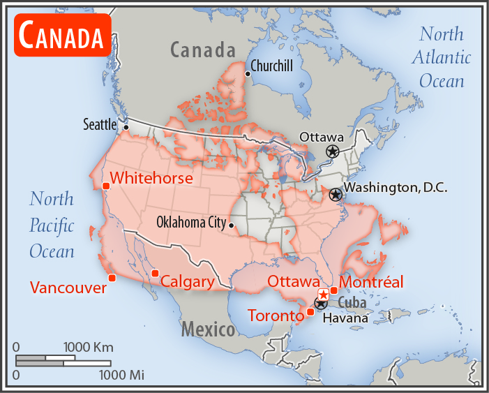
| Description |
English: Comparison of the areas of two country. The area of Canada with biggest cities (red) overlay the area of the United States of America (gray background).
|
| Date | |
| Source | Map from CIA World Factbook, 2017. |
| Author | Central Intelligence Agency (CIA). |
Licensing
[edit]
This image is in the public domain because it contains materials that originally came from the United States Central Intelligence Agency's World Factbook.
|
 |
File history
Click on a date/time to view the file as it appeared at that time.
| Date/Time | Thumbnail | Dimensions | User | Comment | |
|---|---|---|---|---|---|
| current | 22:19, 10 March 2019 | | 701 × 563 (460 KB) | Dim Grits (talk | contribs) |
You cannot overwrite this file.
File usage on Commons
The following page uses this file:
File usage on other wikis
The following other wikis use this file:
- Usage on uk.wikipedia.org